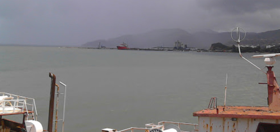
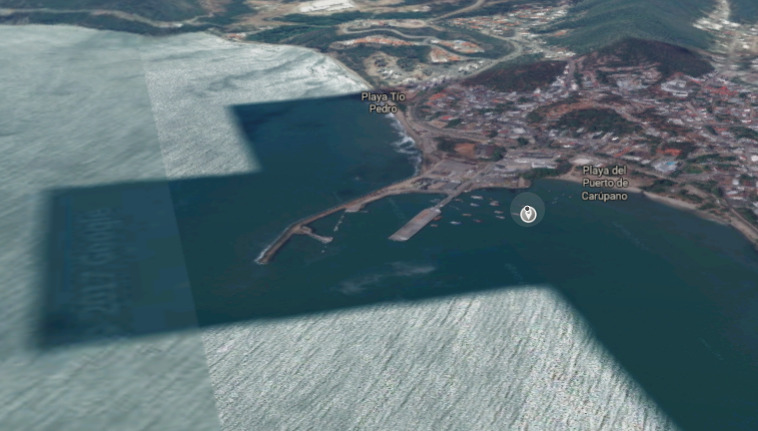
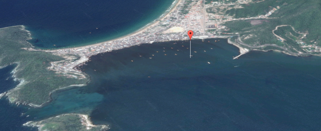
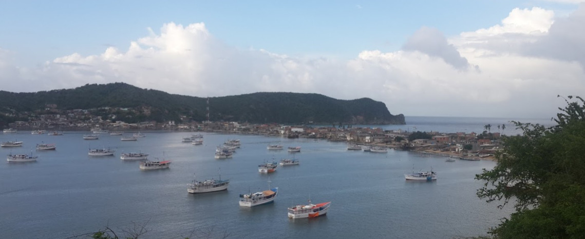
Cumana
Official 1st PORT OF ENTRY
Venezuela
10° 28.0000 N 64° 11.0000 W
- Read more about Cumana
- Log in or register to post comments


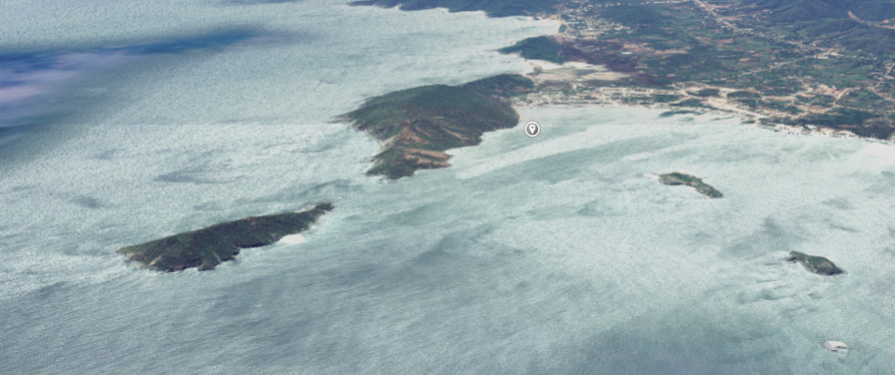
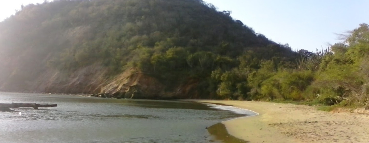
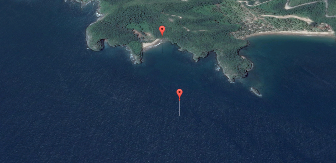
El Morro De Puerto Santo, Sucre, Venezuela