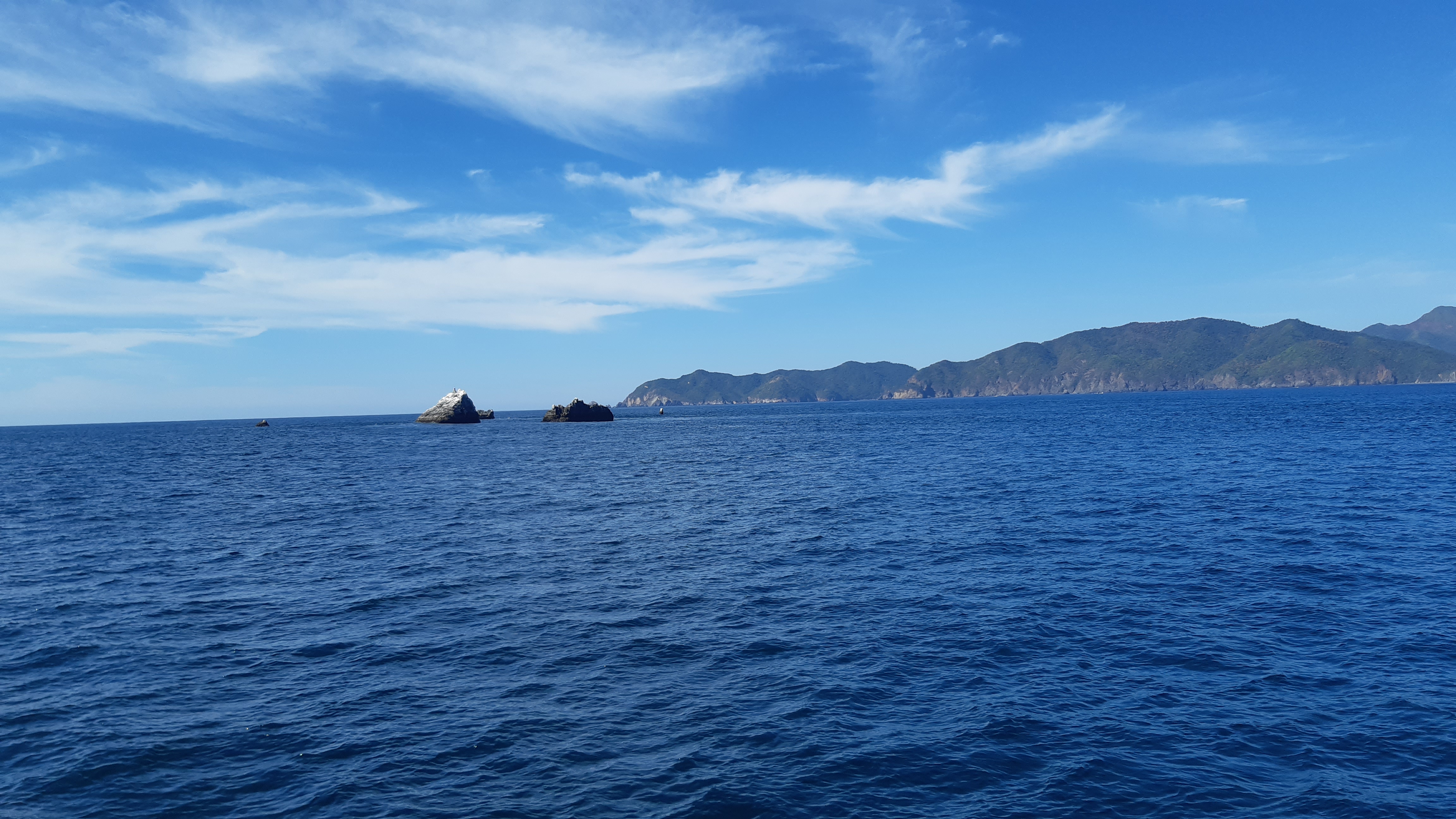
Rocks
Mexico - Pacific
DANGER
Rocks
Rock Awash
Rock which Covers and Uncovers
rocks
- Read more about Rocks
- Log in or register to post comments
rocks
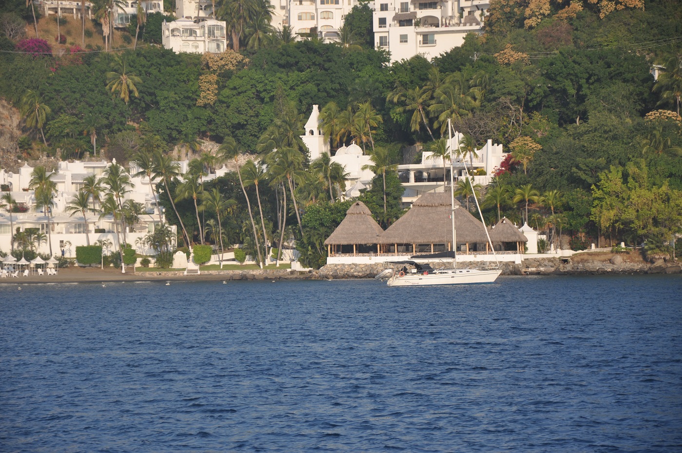
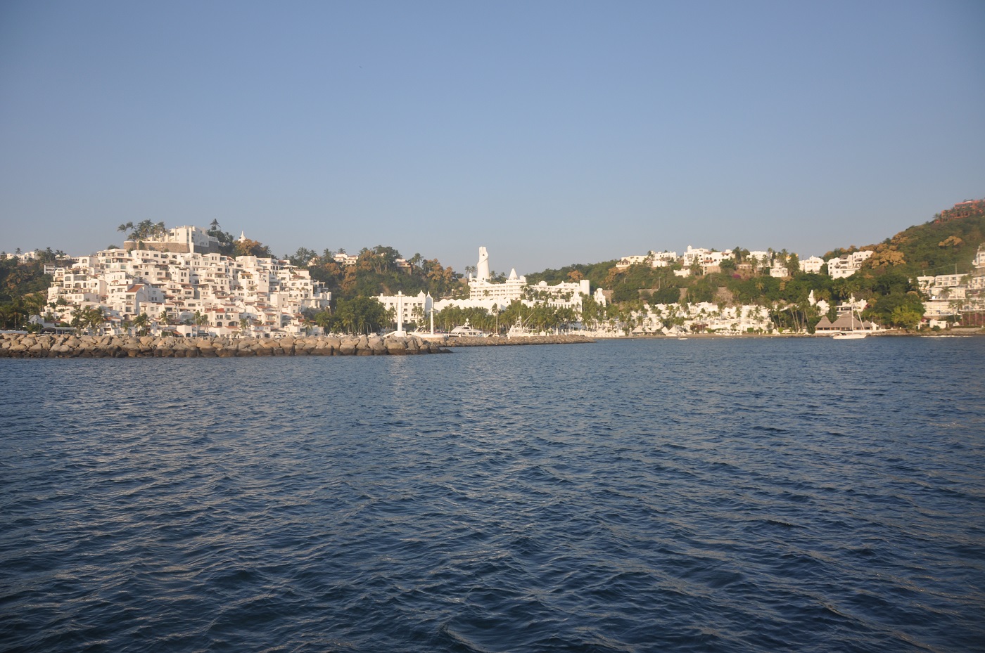
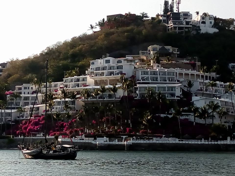
Las Hadas - Outboard theft while in the Marina


Manzanillo is an official port of entry to Mexico.