No votes have been submitted yet.
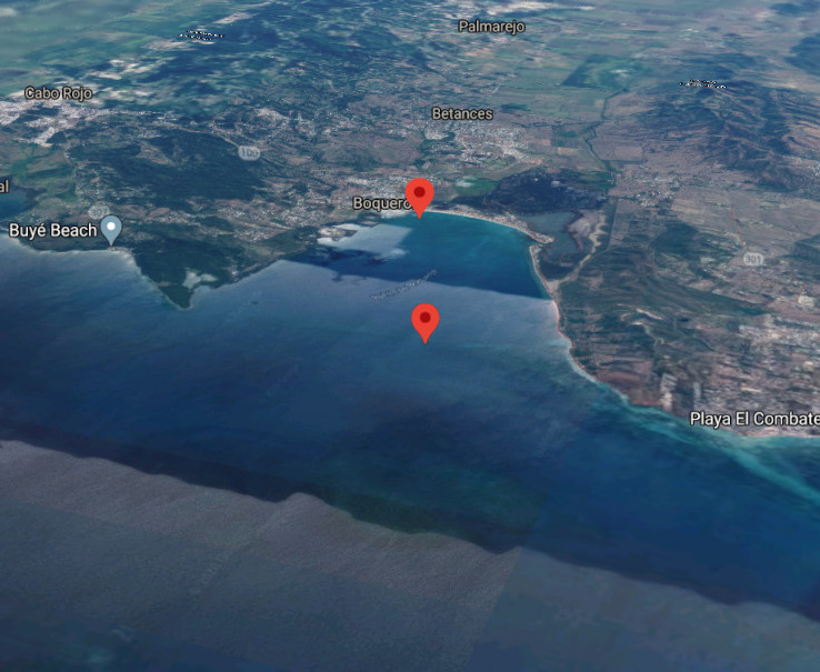
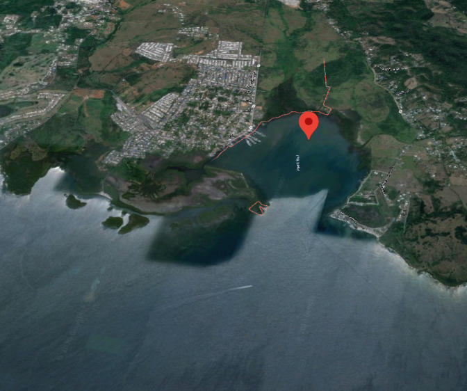
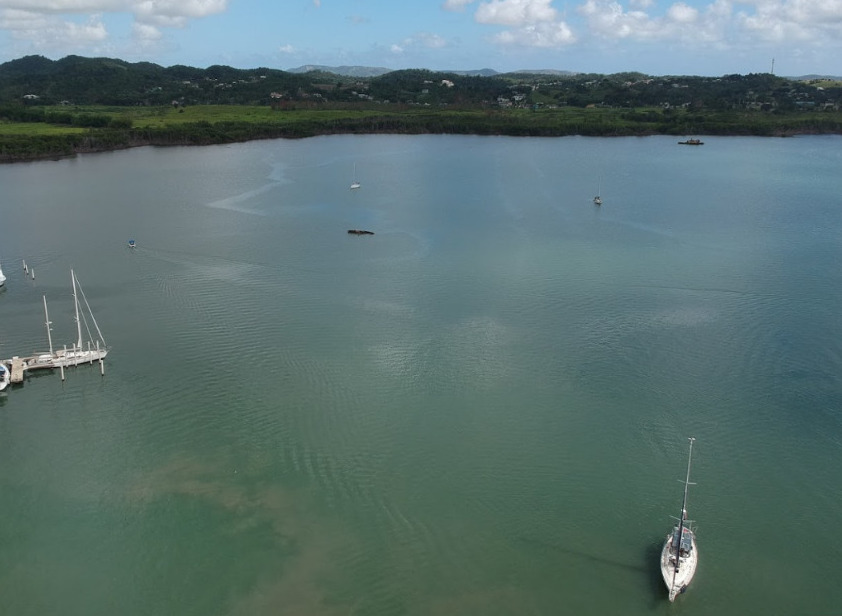
Marina del Boqueron
Enter Canal Sur in the center south of the bay ( about 1/3 from the south ) you can also use the Canal Norte to enter ( shallower )
Depending on winds favor the 1/3 more towards the south side entrance - it's a fairly shallow harbor