Anchorage
New Caledonia
Depth
22.0 ft
7.0 m
Bottom Composition
S - Sand
Aids to Navigation
Depth Contours
Land
Shore Access
Beach
Notes

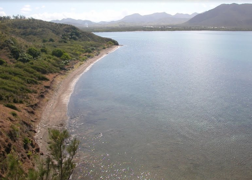
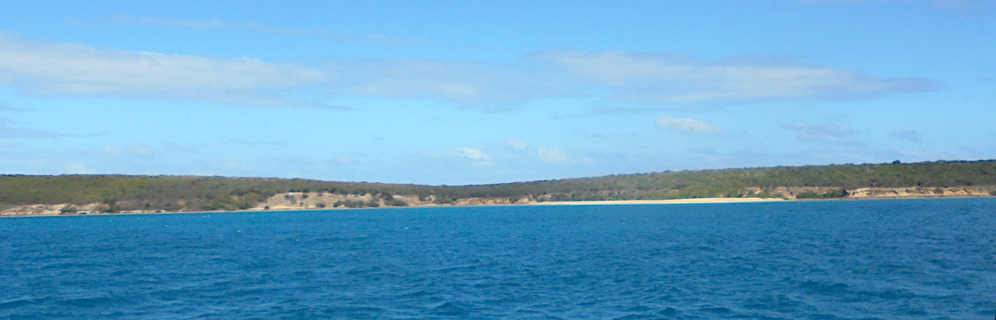
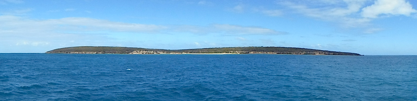
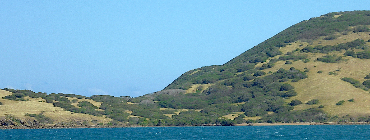
Great spot - reef exposed at low tide and very sharp

Dangers
Reef
Wind Exposure
N NE NW
Swell Exposure
N NW
Date & Time Visited
2018-07-03T16:51:23
dietmar
Anchorage
New Caledonia
La Pointe de Babouillat
Depth
23.0 ft
7.0 m
Bottom Composition
S - Sand
M - Mud
Aids to Navigation
Depth Contours
Land
Shore Access
Beach
Notes

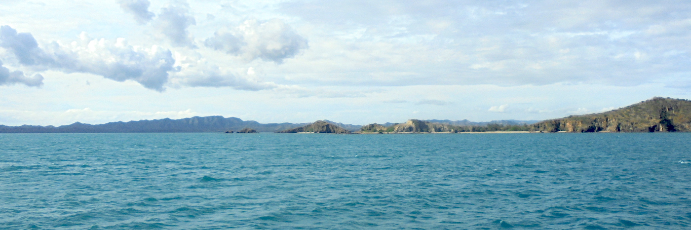
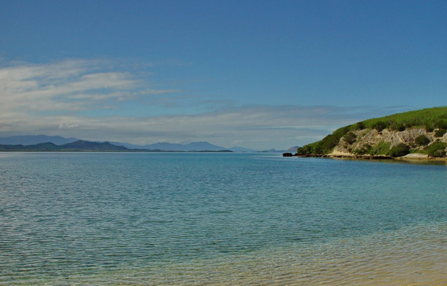
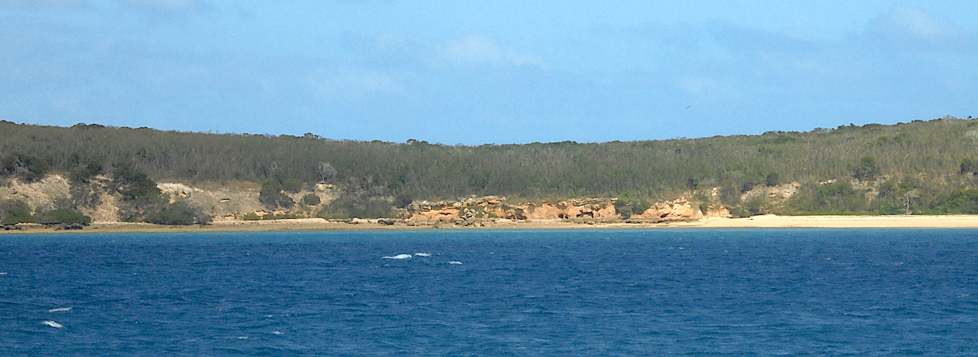
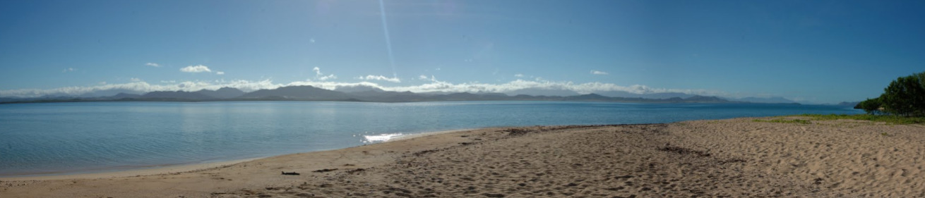
Tucked away spot - quite pleasant
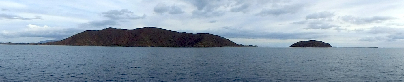
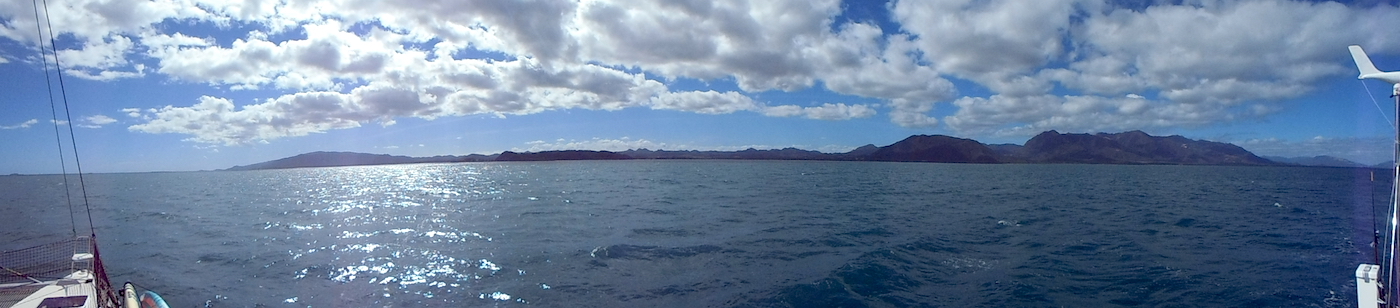
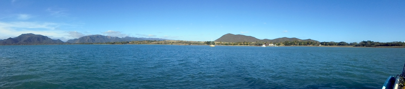
Dangers
Reef
Wind Exposure
N NE
Amenities
Historic Site
Date & Time Visited
2018-07-03T14:33:22
dietmar
Anchorage
New Caledonia
Koumac - S
Pointe de Pandop
Depth
17.0 ft
5.5 m
Bottom Composition
S - Sand
M - Mud
Aids to Navigation
Depth Contours
Land
Shore Access
Beach
Wharf
Notes

Windy spot

Dangers
Ferry Traffic
Wind Exposure
E SE S SW
Swell Exposure
E SE S SW
Amenities
Settlement
Ferry
Yacht Club
Restaurant
Hotel
Date & Time Visited
2018-07-02T12:33:12
dietmar
Anchorage
New Caledonia
Passe de Bourail - NE
Approach
◬ 21° 38.6471 S 165° 27.8826 E
◬ 21° 38.6483 S 165° 27.3789 E
◬ 21° 39.1533 S 165° 25.4734 E
Depth
10.0 ft
3.0 m
Bottom Composition
S - Sand
M - Mud
Aids to Navigation
Depth Contours
Land
Shore Access
Beach
Dangers
Reef
Wind Exposure
N SW W NW
Swell Exposure
SW
Amenities
Settlement
dietmar
Anchorage
New Caledonia
l'ilot Isié
Depth
16.0 ft
5.0 m
Bottom Composition
S - Sand
Aids to Navigation
Depth Contours
Land
Channel Marks
Shore Access
Beach
Dangers
Reef
Wind Exposure
N NE NW
Swell Exposure
N NE NW
Date & Time Visited
2018-06-28T11:11:01
dietmar
Anchorage
New Caledonia
Baie de Pritzuer
Depth
6.0 ft
19.0 m
Bottom Composition
S - Sand
Aids to Navigation
Depth Contours
Land
Shore Access
Beach
Reef
Dangers
Extensive Reef System
Wind Exposure
N NE E SE
Swell Exposure
N NE E SE
Amenities
Park
Date & Time Visited
2018-06-27T19:07:07
dietmar
Anchorage
New Caledonia
Depth
16.0 ft
5.1 m
Bottom Composition
S - Sand
Co - Coral
Aids to Navigation
Depth Contours
Land
Channel Marks
Shore Access
Beach
Tidal Reef
Dangers
Reef
Wind Exposure
N NE S SW W NW
Swell Exposure
N NE S SW W NW
Date & Time Visited
2014-07-15T14:12:00
editor
Anchorage
New Caledonia
Voh
Approach
◬ 21° 2.7344 S 164° 35.1194 E
Depth
11.0 ft
3.3 m
Bottom Composition
S - Sand
M - Mud
Aids to Navigation
Depth Contours
Land
Buoys
Shore Access
Beach
Dock
Marina
Sea Wall
Notes

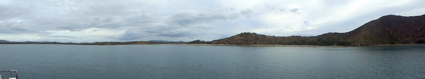
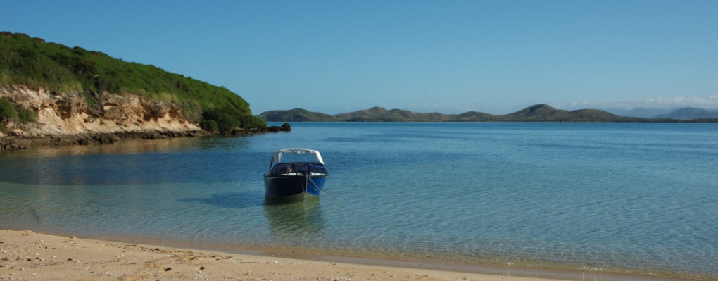
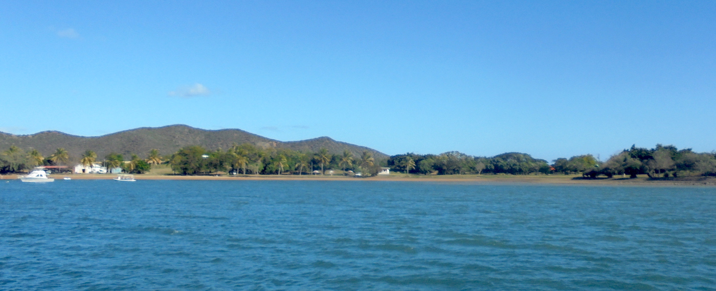
Easy bay mostly mud - wind whips around so add scope - quite shallow overall - no swell

Wind Exposure
NE E
Amenities
Provisioning
Historic Site
Point of Interest
Date & Time Visited
2012-06-17T21:04:00
2018-06-30T15:09:11
editor