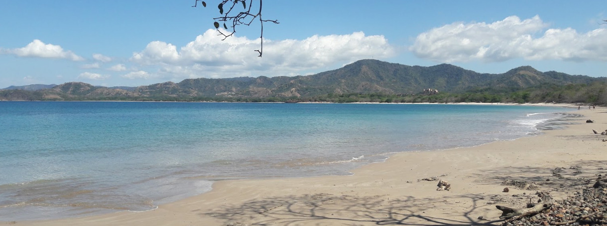
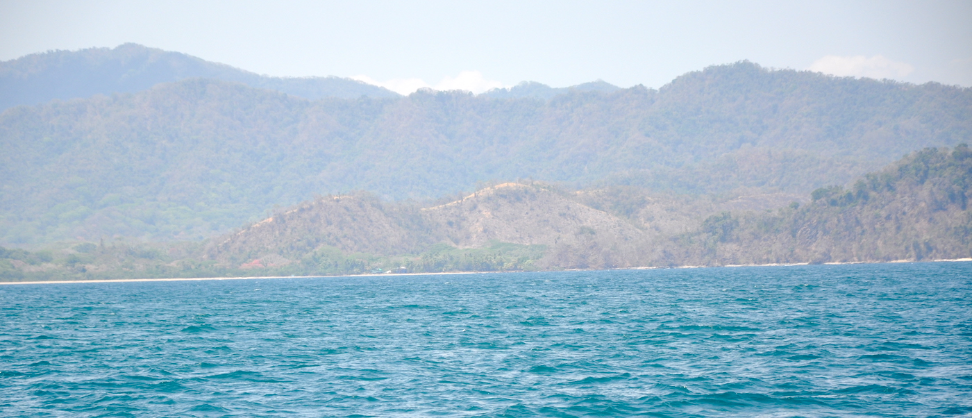
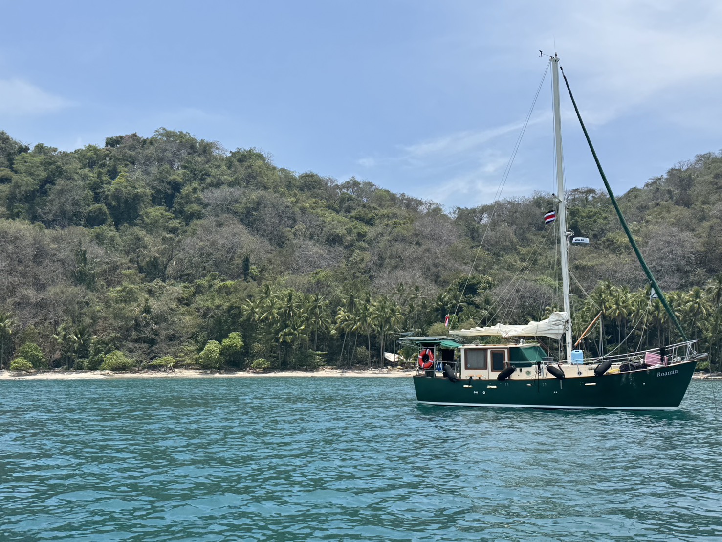
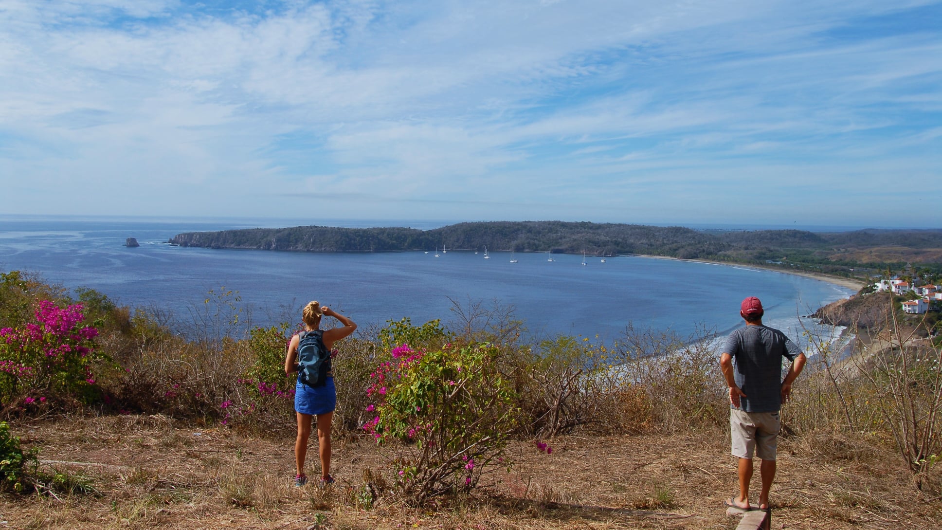
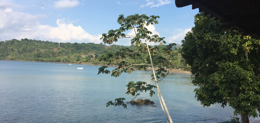
Drake Bay is named after the British hero and notorious pirate Sir Francis Drake who anchored here back in the 16th century and whose treasure is purportedly buried somewhere close by. The anchorage on the southern side of the bay is sheltered from southerly and easterly winds but is open to the north. Some swell manages to wrap around Punta San Jose so it can be rolly.
The settlement of Drake Bay, located at the northern tip of the Osa Peninsula, is very isolated and can only be reached by 4WD. The route includes more than twenty river crossings making it a difficult place to access in the wet season, except for yachties of course.
The village has some low key, backpacker style tourism. The main attraction of Drake Bay is a visit to the Corcovado National Park, the biggest park in Costa Rica but because of its inaccessibility it is off the itinerary for most tourists.
Approaches
No info
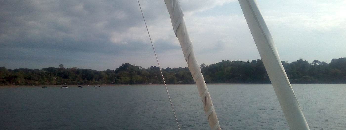
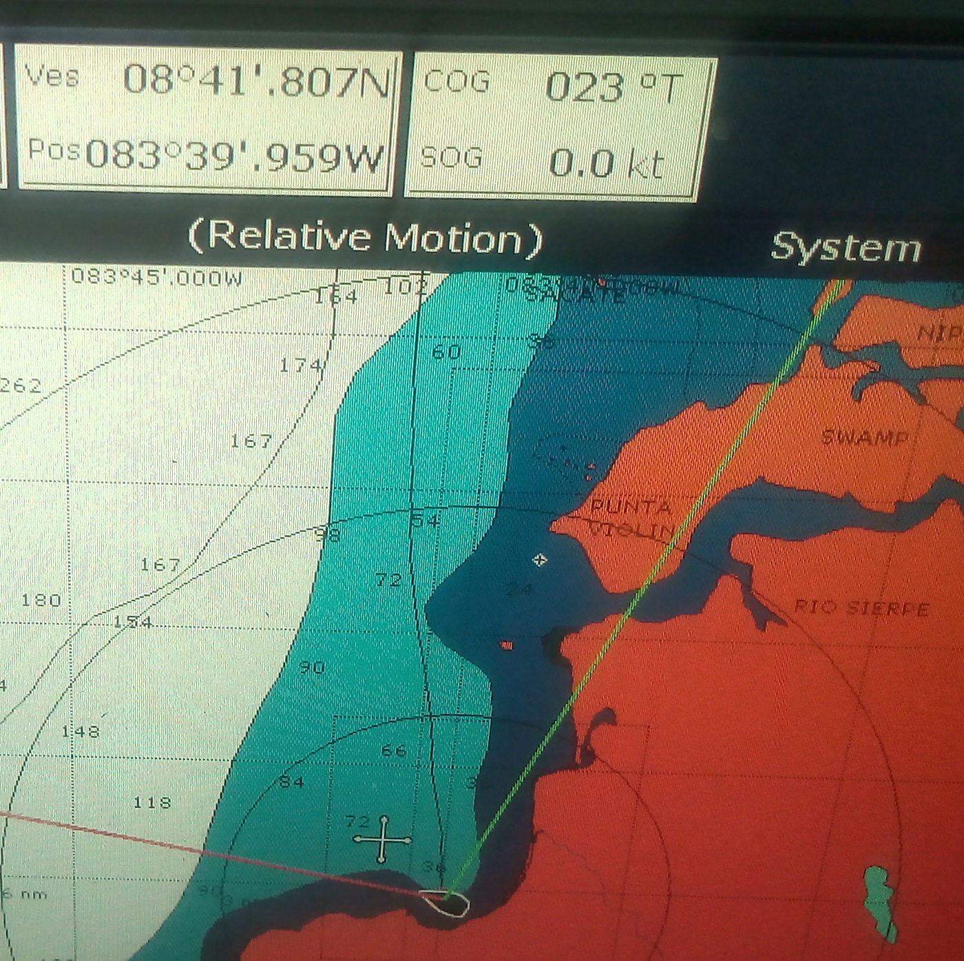
Anchorage
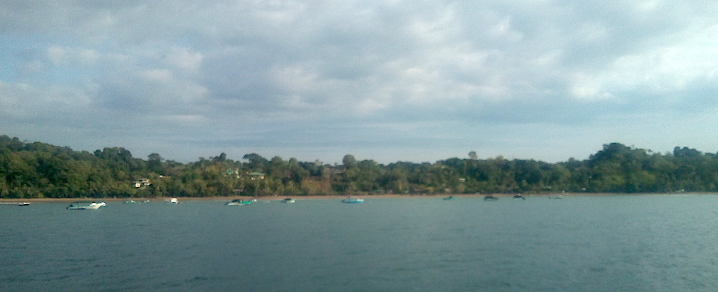
The centre of the bay can be a bit rolly but tuck in behind the point close to the river mouth for a more comfortable night. Anchor in 7.5m muddy sand with good holding. If waves are breaking on the beach take the dinghy to the west end for a drier landing.
Alternatively go into the river mouth on the west side of the bay and tie up to the dinghy dock of the Aguila de Osa Inn. They will charge you a small fee for mooring but your dinghy will be safe. It is a short walk on a muddy path to the west end of the beach.
Facilities
Drake Bay is one of my favorite anchorages in Costa Rica. The funky village is good for provisioning with a bakery and two well stocked supermarkets, several restaurants with wifi and numerous tour operators. The Corcovado tours will collect you directly from your boat. Swim in the bay at your own risk, crocodiles are regularly seen in the river mouth. Fuel can be bought by jerry can at the Aguila de Osa Inn dinghy dock.
A tour to the Corcavado National Park is a must. A speed boat takes you 20NM down the coast to the Sirena Ranger Station where the $15pp fee is collected. It is not possible to enter the park without a guide but our guide Carlos was worth every penny. He was knowledgeable about everything from leaf-carrying ants to the breeding cycle of green tree frogs and skilled at spotting monkeys and birds high up in the canopy, finding tiny lizards and frogs lurking in the shadows under leaves and tracking down the elusive tapir.