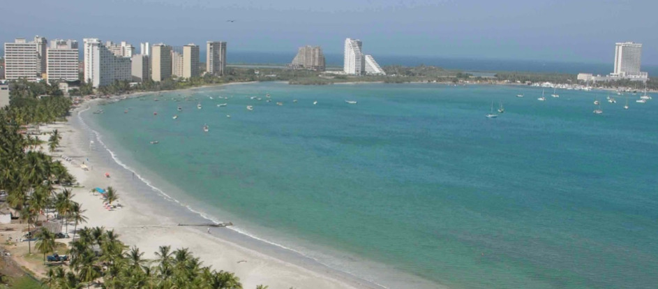

Marina del Caribe - Isla de Margarita
10° 57.4714 N 64° 9.5375 W
- Read more about Marina del Caribe - Isla de Margarita
- Log in or register to post comments
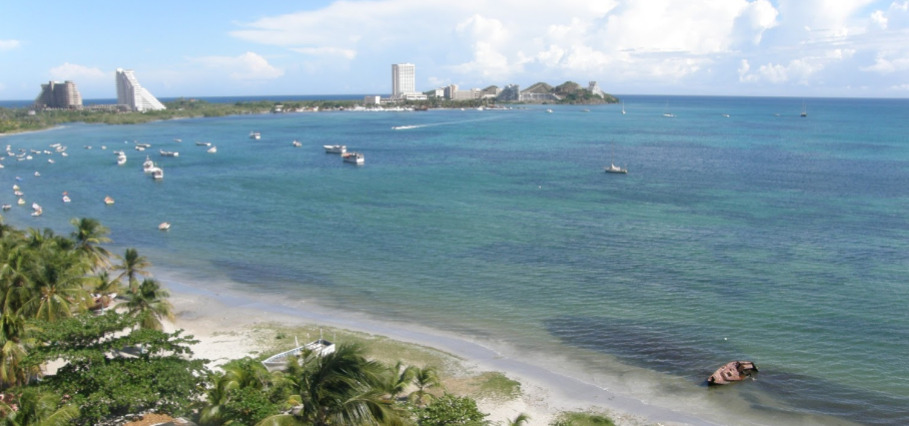
Marina del Cariba - Isla de Margarita
10° 57.4714 N 64° 9.5375 W
- Read more about Marina del Cariba - Isla de Margarita
- Log in or register to post comments
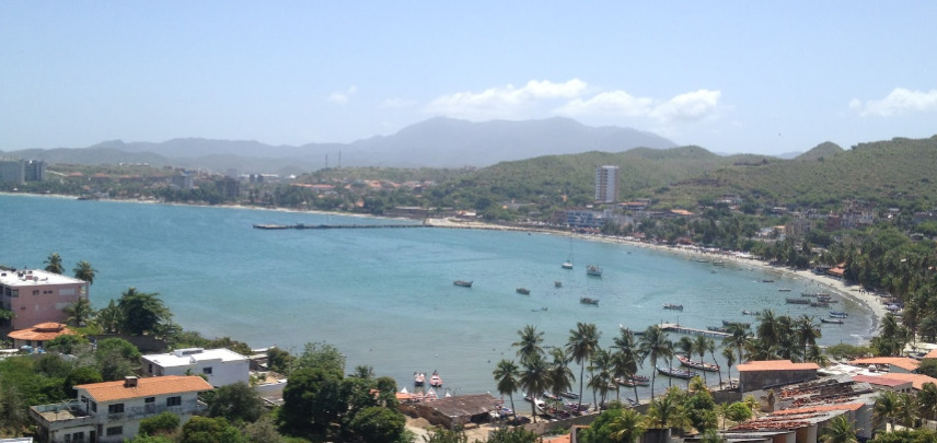
Marina Margarita Yachting
VHF
10
16
Telephone
10° 58.4374 N 63° 49.0309 W


- Read more about Marina Margarita Yachting
- Log in or register to post comments
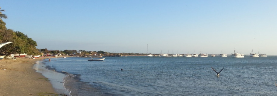
Estación de servicio Miranda Gasolinera
⌖ 10° 56.9007 N 63° 50.9642 W

3, Porlamar, Nueva Esparta, Venezuela
- Read more about Estación de servicio Miranda Gasolinera
- Log in or register to post comments