Anchorage
USA - Maryland
Heart-Miller Island - W - Drum Point
Chesapeake Gunk Hole
Approach
◬ 39° 15.7213 N 76° 19.6424 W
Depth
8.0 ft
2.4 m
Bottom Composition
M - Mud
Aids to Navigation
Depth Contours
Land
Lights
Channel Marks
Shore Access
Beach
Notes

For a quick Western Shore refuge, dive behind Hart-Miller Island, hugging either the southeast or west shore, as appropriate. You’ll find plenty of room in Hawk Cove and about eight feet or so.

Dangers
Bay Shallows
Wind Exposure
N NE NW
Amenities
Park
Anonymous
Anchorage
USA - Maryland
Chesapeake Storm Hole
Approach
◬ 39° 20.0780 N 76° 8.1080 W
Depth
6.0 ft
1.8 m
Bottom Composition
M - Mud
Aids to Navigation
Depth Contours
Land
Shore Access
Beach
Notes

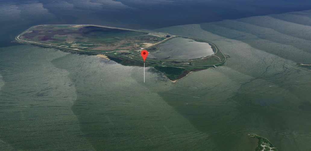
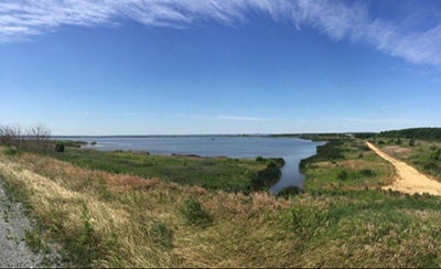
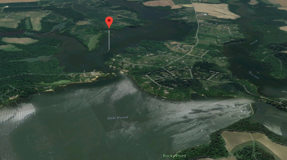
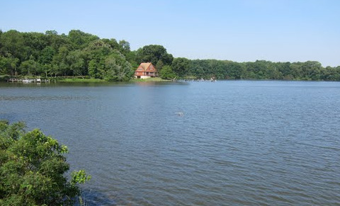
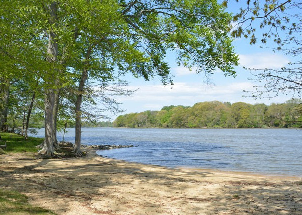
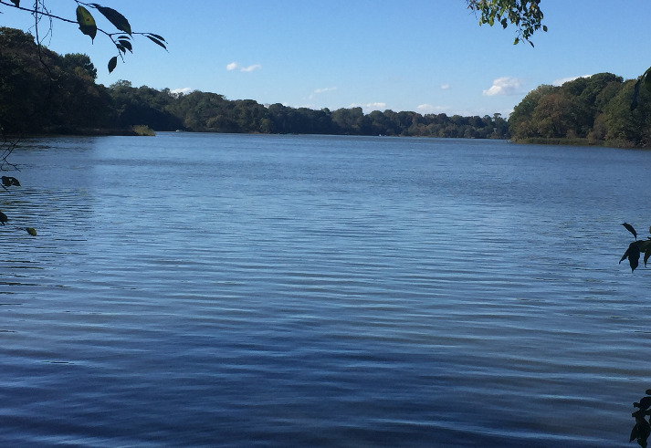
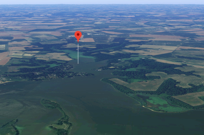
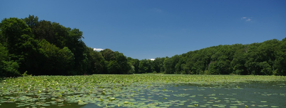
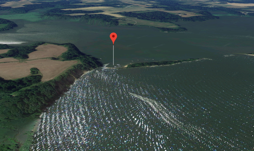
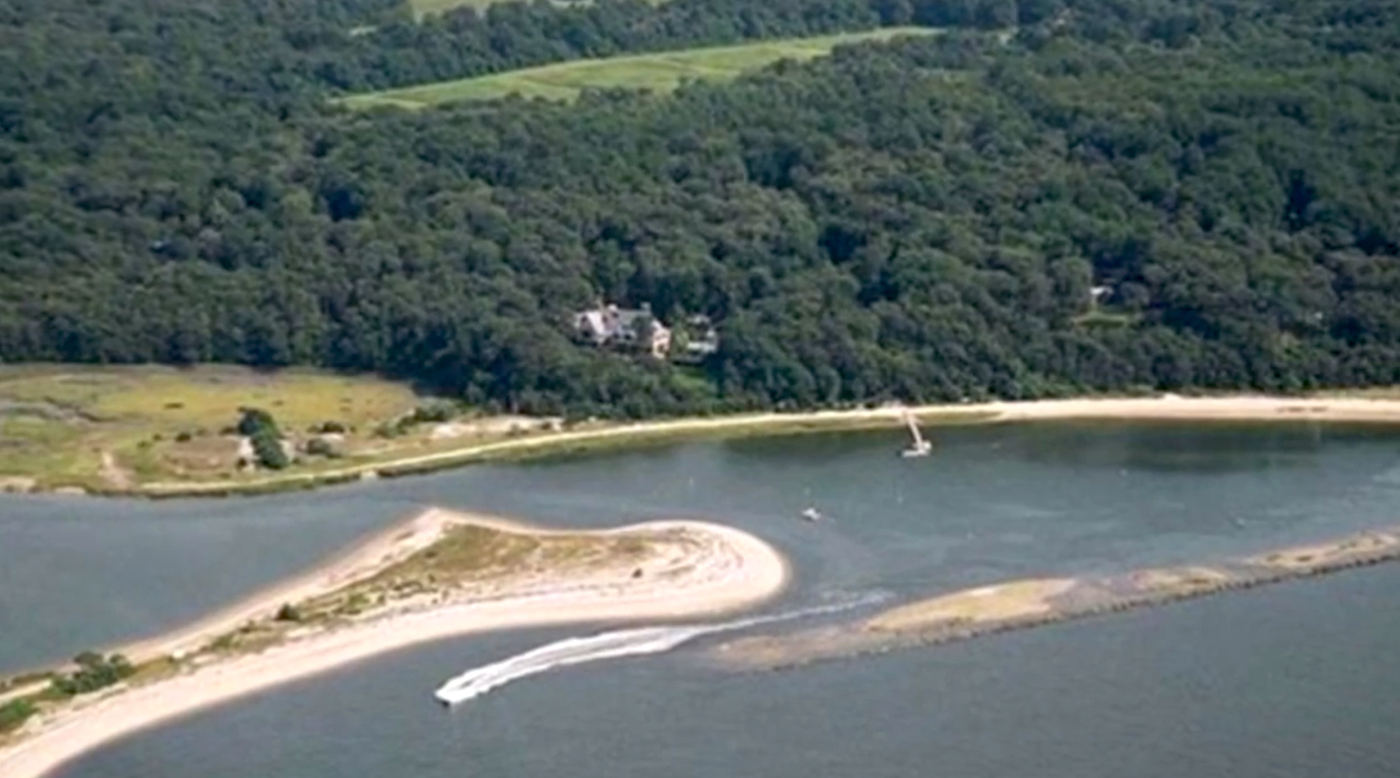
STILL POND AND CREEK—Just three miles below the mouth of the Sassafras, also along the Bay’s Eastern Shore, you’ll find Still Pond, and beyond it, through a narrow entrance, Still Creek. If the wind is from the northeast or southwest, you can anchor outside in the lee of the appropriate shore in eight or nine feet. For better protection, thread your way through the marked entrance to Still Creek. Here you’ll find a lovely protected area with plenty of room to anchor. It gets crowded on summer weekends, but in a storm, you won’t care.

Dangers
Narrow Path
Wind Exposure
NW
Anonymous
Anchorage
USA - Maryland
Chesapeake Storm Hole
Approach
◬ 39° 21.8846 N 75° 58.9303 W
Depth
7.0 ft
2.1 m
Bottom Composition
M - Mud
Aids to Navigation
Depth Contours
Land
Shore Access
Beach
Dock
Notes

SASSAFRAS RIVER - Turner Creek, 3 ½ miles inside Grove Neck, also on the southern shore. The channel has a few interesting twists and turns, but if you follow the markers, you’ll find a charming county park, watermen’s dock and a small protected anchorage.

Dangers
Narrow Path
Wind Exposure
N
Amenities
Park
Anonymous
Anchorage
USA - Maryland
Chesapeake Storm Hole
Approach
◬ 39° 21.7304 N 76° 1.3370 W
Depth
8.0 ft
2.4 m
Bottom Composition
M - Mud
Aids to Navigation
Depth Contours
Land
Shore Access
Beach
Notes

SASSAFRAS RIVER—If you are feeling brave, follow the charts to find the narrow entrance to well-protected Lloyd Creek, two miles upriver from Grove Neck on the south shore. Once in, sound carefully, because it shallows quickly.

Dangers
Bay Shallows
Shoaling
Narrow Path
Wind Exposure
N NE NW
Anonymous
Anchorage
USA - Maryland
Chesapeake Storm Hole
Chesapeake Gunk Hole
Approach
◬ 39° 28.0668 N 75° 57.9116 W
Depth
4.9 ft
1.5 m
Bottom Composition
M - Mud
Aids to Navigation
Depth Contours
Land
Shore Access
River
Private Docks
Notes

ELK RIVER—Cabin John Creek,
2 ½ miles up the Elk, is the closest, but too shallow for deep-draft boats. Some claim five feet of water, but Capt. Jody has never found more than four feet.

Dangers
Bay Shallows
Wind Exposure
NW
Amenities
Hurricane Hole
Anonymous