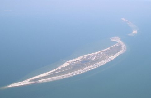
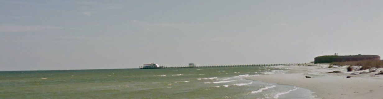
Having the only deep-water harbor between Mobile Bay and the Mississippi River, the island served as a vital anchorage for ships bearing explorers, colonists, sailors, soldiers, defenders and invaders. The French, Spanish, British, Confederate and Union flags have all flown over Ship Island.French explorer Pierre Le Moyne d'Iberville charted Ship Island on 10 February 1699, which he used as a base of operations in discovering the mouth of the Mississippi River. The island served as a point of immigration to French colonies in the New World.