Entry to Guanaja - Isla Bonacca Read more about Entry to Guanaja - Isla BonaccaLog in or register to post comments 16° 26.11667' N , 85° 51.83333' W
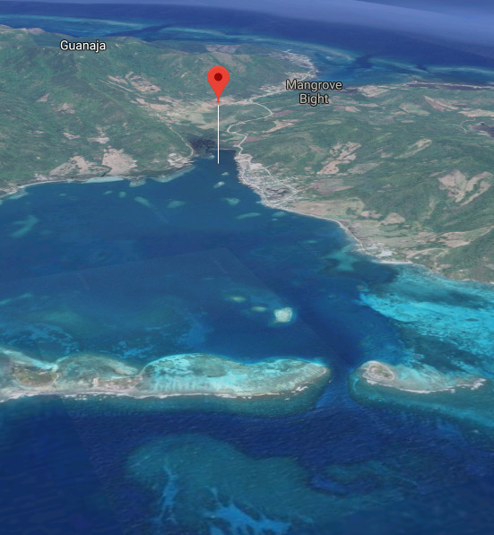
Devin or Diane Fuel - Mangrove Bight ⌖ 16° 30.3289 N 85° 52.7020 W Telephone +504 9715 2117 + +504-9884-1593 Read more about Devin or Diane Fuel - Mangrove Bight Log in or register to post comments +
Casey's Mart ⌖ 16° 29.1080 N 85° 50.9550 W Telephone +504 9924-4445 Read more about Casey's MartLog in or register to post comments +
Extra Gas ⌖ 16° 26.5772 N 85° 53.3670 W Read more about Extra GasLog in or register to post comments +