Anchorage
New Caledonia
Gran Recif Kue - SE
Recif Uime - S
Approach
◬ 22° 38.7234 S 166° 37.5628 E
Depth
12.8 ft
4.0 m
Bottom Composition
S - Sand
Co - Coral
Aids to Navigation
Depth Contours
Land
Shore Access
Reef
Notes

Next to a pass - marine preserve and surf  - exposed

Dangers
Reef
Anchoring Restrictions
Sharks
Fair Weather Anchorage Only
Wind Exposure
N NE E SE S SW W NW
Swell Exposure
NE E SE
Amenities
Marine Preservation Area
Surf
Date & Time Visited
2017-10-24T00:12:12
dietmar
Anchorage
New Caledonia
Depth
23.0 ft
7.0 m
Bottom Composition
S - Sand
Co - Coral
Aids to Navigation
Depth Contours
Land
Shore Access
Beach
Reef
Notes

Locals snorkel spot

Dangers
Reef
Coral Heads
Wind Exposure
N SW W NW
Swell Exposure
N SW W NW
Amenities
Snorkeling
Anonymous
Anchorage
New Caledonia
Ilot Kutomere
Depth
10.0 ft
3.0 m
Bottom Composition
S - Sand
Aids to Navigation
Depth Contours
Land
Shore Access
Beach
Notes

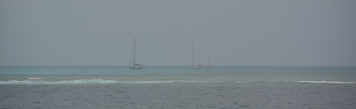
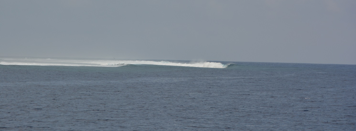
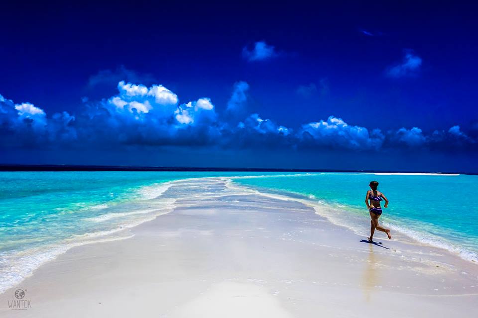
One of my favorite excursions was to the Nekanmue Atoll, at the very SE tip of New Caledonia.  We had a nice SW wind and so a glorious sail to get there, and then when the wind switched back to the SE, we had a nice sail back.  The pass through the reef is not at all marked and was a bit nerve wracking, but friends on a Catana 47' catamaran had gone in and said it was worthwhile.  Much of the atoll is too shallow, even for Ocelot, so we did a lot of dinghy exploration, visiting all 3 islands and walking around their coastlines looking for shells. ( Sue Hacking )

Dangers
Reef
Wind Exposure
N NE E SE S SW W NW
Swell Exposure
N NE E SE S SW W NW
Date & Time Visited
2005-10-24T11:40:00
editor
Anchorage
New Caledonia
Depth
16.0 ft
5.0 m
Bottom Composition
Co - Coral
S - Sand
Aids to Navigation
Depth Contours
Land
Shore Access
Beach
Wind Exposure
S SW W
Swell Exposure
SW
Date & Time Visited
2014-07-17T15:54:00
editor
Anchorage
New Caledonia
Depth
16.0 ft
5.0 m
Bottom Composition
Co - Coral
S - Sand
Aids to Navigation
Depth Contours
Land
Shore Access
Beach
Notes
Wind Exposure
N S SW W NW
Swell Exposure
N S SW W NW
Date & Time Visited
2014-07-17T15:50:00
editor
Anchorage
New Caledonia
Depth
20.0 ft
6.0 m
Bottom Composition
Co - Coral
S - Sand
Aids to Navigation
Depth Contours
Land
Shore Access
Beach
Wind Exposure
N NE SW W NW
Swell Exposure
N NE SW W NW
Date & Time Visited
2014-07-17T16:00:00
editor
Anchorage
New Caledonia
Depth
27.0 ft
8.0 m
Bottom Composition
S - Sand
Aids to Navigation
Depth Contours
Land
Shore Access
Beach
Wind Exposure
N NE NW
Date & Time Visited
2011-01-01T11:33:00
editor
Anchorage
New Caledonia
Depth
16.0 ft
5.0 m
Bottom Composition
S - Sand
Co - Coral
Aids to Navigation
Cardinal Marks
Channel Marks
Depth Contours
Land
Shore Access
Beach
Dock
Wind Exposure
SE S SW W
Swell Exposure
SE S SW W
Date & Time Visited
2013-05-01T16:45:00
editor
Anchorage
New Caledonia
Depth
33.0 ft
10.0 m
Bottom Composition
S - Sand
Aids to Navigation
Channel Marks
Depth Contours
Land
Local Marks
Shore Access
Beach
Notes
Wind Exposure
NE SE SW W NW
Swell Exposure
NE SE SW W NW
Date & Time Visited
2014-05-01T12:00:00
editor
Anchorage
New Caledonia
Depth
10.0 ft
3.0 m
Bottom Composition
M - Mud
S - Sand
Aids to Navigation
Depth Contours
Land
Shore Access
Beach
Notes

Anchor to the West of Ile Bayau

Wind Exposure
NE SE SW
Date & Time Visited
2005-01-05T08:51:00
editor