
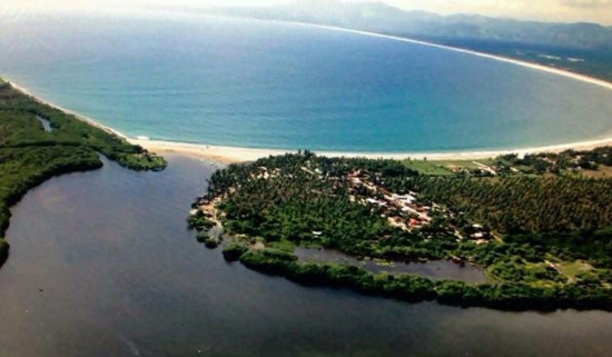
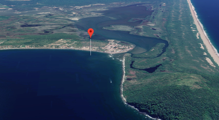
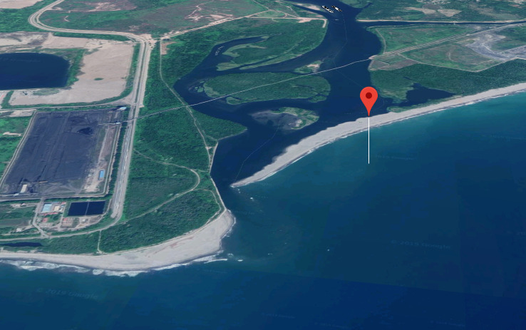
Zihuatanejo Dinghy Landing
DinghyLanding
17° 38.2229 N 101° 33.5407 W
Here is the dinghy landing - drag your skiff to the white fence/wall and secure valuables - during the high season they have a dinghy valet who for 20 pesos will help you land and launch agai
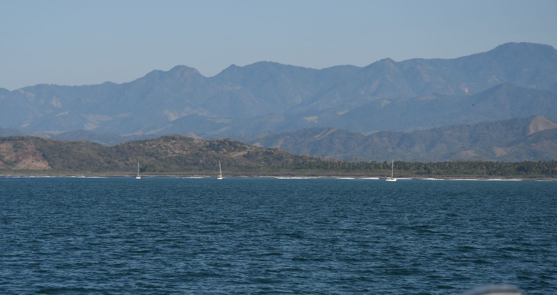
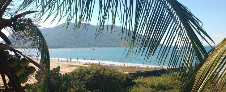
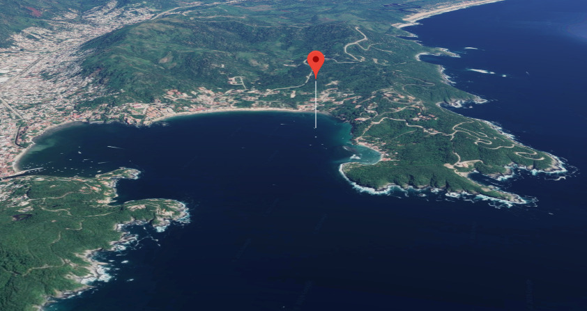
Zihuatanejo Sail Fest
17° 38.1800 N 101° 33.3824 W
Report into the Port Captain to register your anchorage location
Information: listen to the morning Cruiser Net on VHF 22A at 8:30 every morning


- Read more about Zihuatanejo Sail Fest
- Log in or register to post comments


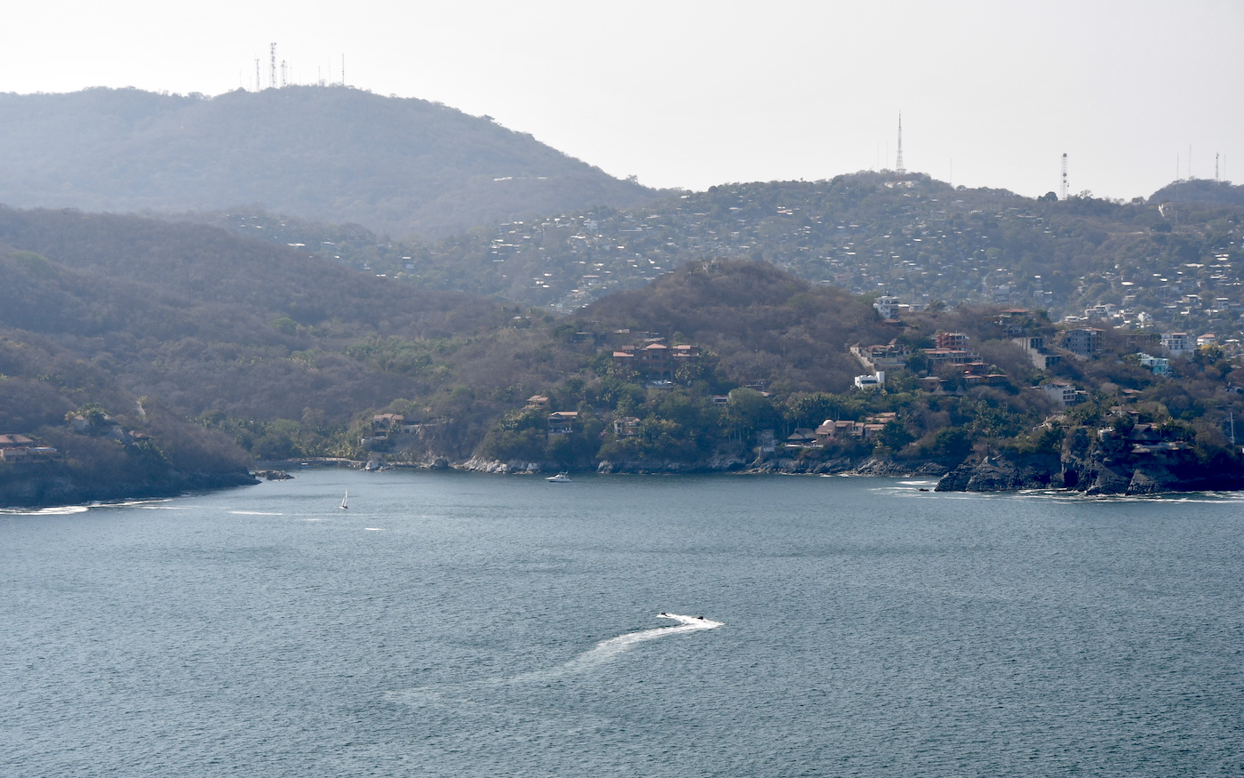
Acapulco Cliff Divers - Clavadores
16° 50.7712 N 99° 54.9325 W
You can drift around from the water and wait for the 1 PM day show - if you bring your skiff or vessel bring fenders as locals come very close - or go the hi


- Read more about Acapulco Cliff Divers - Clavadores
- Log in or register to post comments