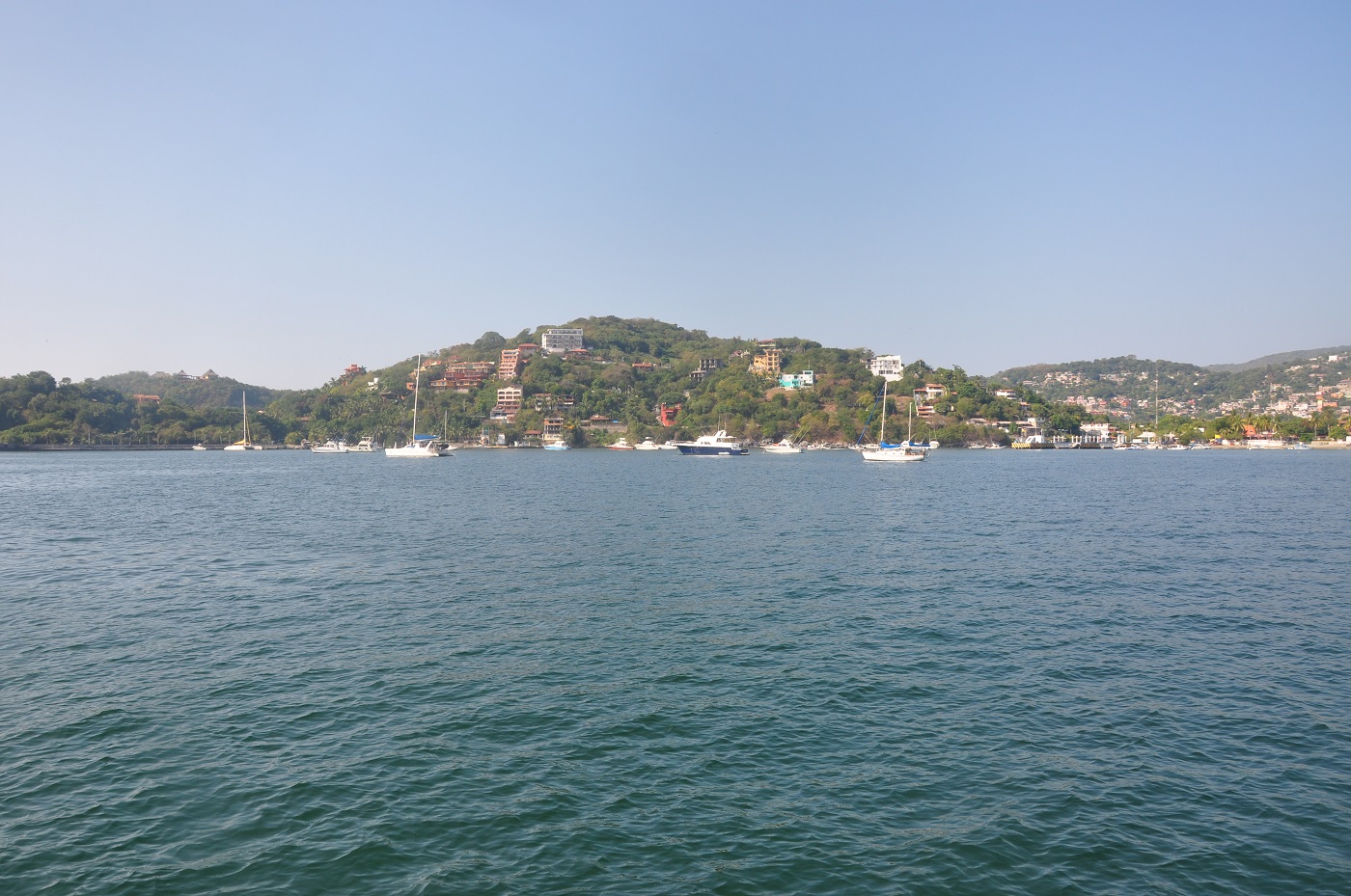
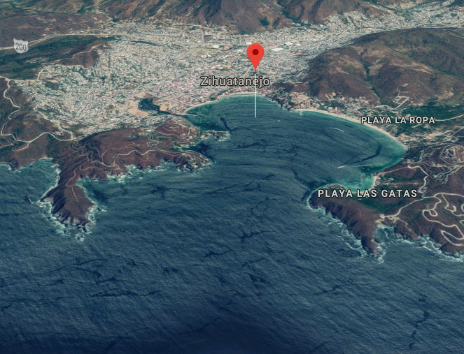
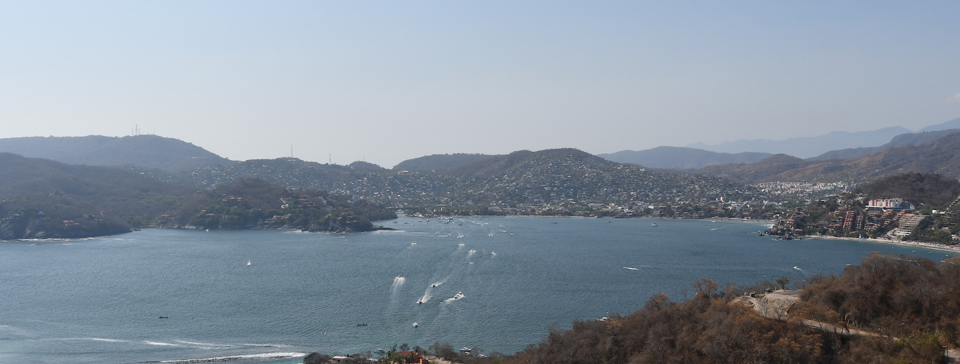
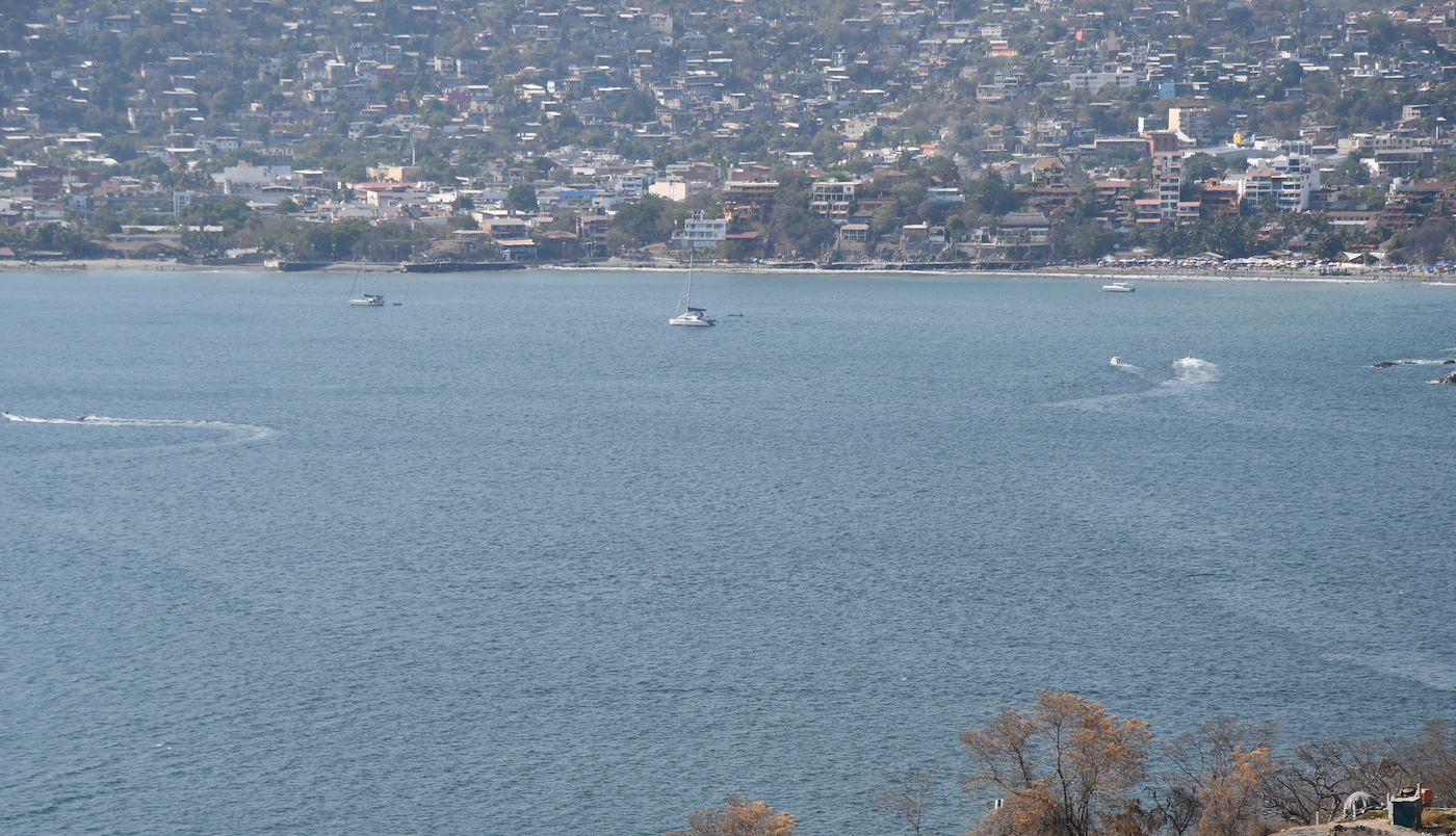
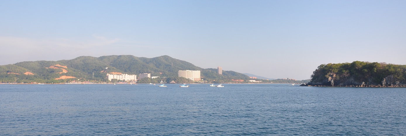
Bahia Zihuatanejo is the one of the most popular anchorages on the Mexican Pacific coast. The fabulous weather and beautiful beaches attract tourists from Europe and America as well as local visitors while cruisers are attracted by the variety of anchoring options as well as the picture postcard scenery.
The anchorage off Playa Madera in the north of the bay is protected during the winter months although swell from the northwest still manages to find its way into the bay. At the southern end of the bay Playa la Ropa is the preferred anchorage in the summer time.
The northern anchorage can accommodate about twenty yachts comfortably at anchor and is a popular stop for cruisers who are heading further south or as the departure point for sailors bound for Galapagos or the Marquesas.
Approaches
If approaching from the south look out for the charted Roca Negra which lies 1.5NM southwest of Punta Garrobo.
Anchorage
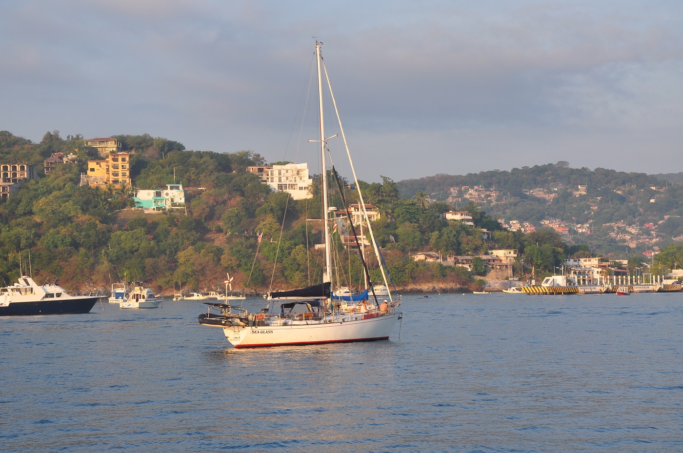
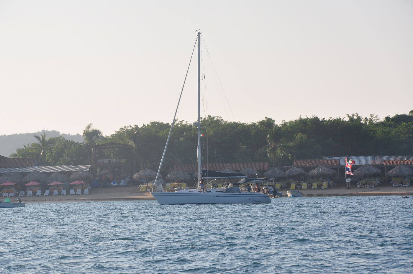
The bay is busy with tour boats, pangas and other cruisers and it can sometimes be difficult to find a sheltered spot on the west side behind Cerro Almacen. Anchor in 5m on shelly mud and use a stern anchor or flopper stopper if the swell is bothersome. Taking the dinghy ashore is likely to be a surf landing in all but calm conditions. Local boats pull up on the beach just east of the municipal pier but the beach just east of the pangas has been designated for cruisers use. Local lads will meet your dinghy and offer assistance with almost anything you can think of.
Facilities
Zihuatanejo is a town of two parts: the shops and restaurants in the manicured streets near Playa Madera and the pier cater to cruise ship visitors, but it is just a short walk to the central market area where the locals shop. It is an easy taxi ride to the Mega Soriana supermarket for serious provisioning.
Visiting the central market is an adventure in itself, a real rabbit warren of colourful stalls selling fruit and vegetables, baskets and hardware, as well as fishmongers and butchers with strings of chorizo and strips of dried beef dangling above the slabs of red meat.
Cruisers tend to hang out at Sunset bar just beside the beach. The local cruiser's net on VHF 22A begins at 08:30. For potable water and fuel delivery, propane, laundry and many other things call Hilda and Ismael on VHF65.