Anchorage
New Caledonia
Depth
13.0 ft
4.0 m
Bottom Composition
M - Mud
S - Sand
Aids to Navigation
Depth Contours
Land
Shore Access
Beach
River
Wind Exposure
N W NW
Swell Exposure
W NW
Date & Time Visited
2014-07-15T14:55:00
editor
Anchorage
New Caledonia
Voh
Approach
◬ 21° 2.7344 S 164° 35.1194 E
Depth
11.0 ft
3.3 m
Bottom Composition
S - Sand
M - Mud
Aids to Navigation
Depth Contours
Land
Buoys
Shore Access
Beach
Dock
Marina
Sea Wall
Notes

Easy bay mostly mud - wind whips around so add scope - quite shallow overall - no swell

Wind Exposure
NE E
Amenities
Provisioning
Historic Site
Point of Interest
Date & Time Visited
2012-06-17T21:04:00
2018-06-30T15:09:11
editor
Anchorage
New Caledonia
Depth
20.0 ft
6.1 m
Bottom Composition
S - Sand
M - Mud
Aids to Navigation
Depth Contours
Land
Shore Access
Beach
River
Notes

Easy anchorage - well marked reefs  - local kitesurfers use the beach as a launch place - bays shallows rapidly

Dangers
Reef
Bay Shallows
Wind Exposure
NE E SE
Swell Exposure
NE E
Amenities
Provisioning
Kitesurfing
Date & Time Visited
2014-07-14T15:19:00
editor
Anchorage
New Caledonia
Depth
21.0 ft
6.0 m
Bottom Composition
S - Sand
Aids to Navigation
Depth Contours
Land
Buoys
Shore Access
Beach
Dangers
Reef
Wind Exposure
SW W
Date & Time Visited
2014-07-14T15:13:00
2018-07-06T11:11:11
editor
Anchorage
New Caledonia
Cap de Deverd
Depth
13.0 ft
4.0 m
Bottom Composition
S - Sand
Aids to Navigation
Depth Contours
Land
Shore Access
Beach
Commercial Dock
Notes

Nice quite bay - near mining operations - watch for wrecks and barges

Dangers
Shipwreck
shipping traffic
Wind Exposure
N NE SW W NW
Swell Exposure
N NE SW W NW
Date & Time Visited
2014-06-07T11:11:11
2018-07-02T11:11:11
editor
Anchorage
New Caledonia
Depth
16.0 ft
5.0 m
Bottom Composition
S - Sand
M - Mud
Aids to Navigation
Depth Contours
Land
Shore Access
Beach
Dock
Notes

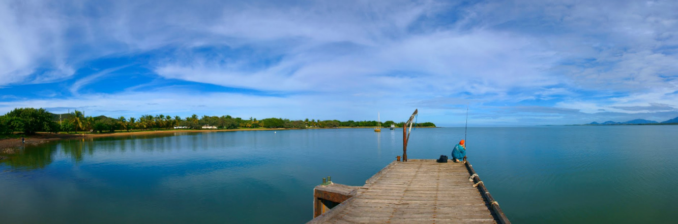
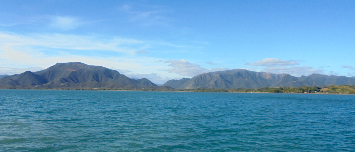
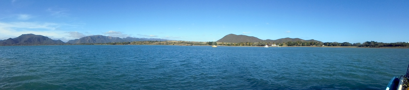
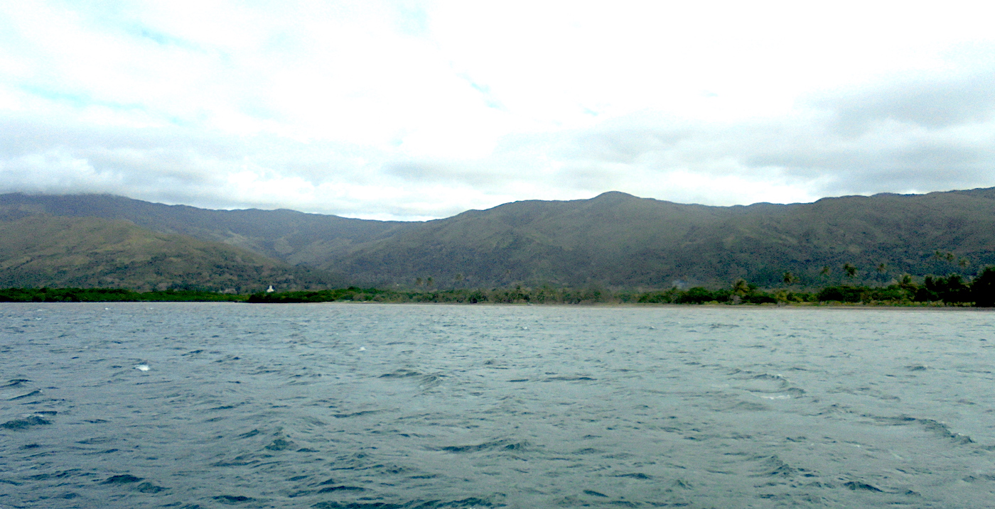
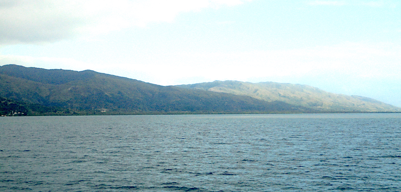
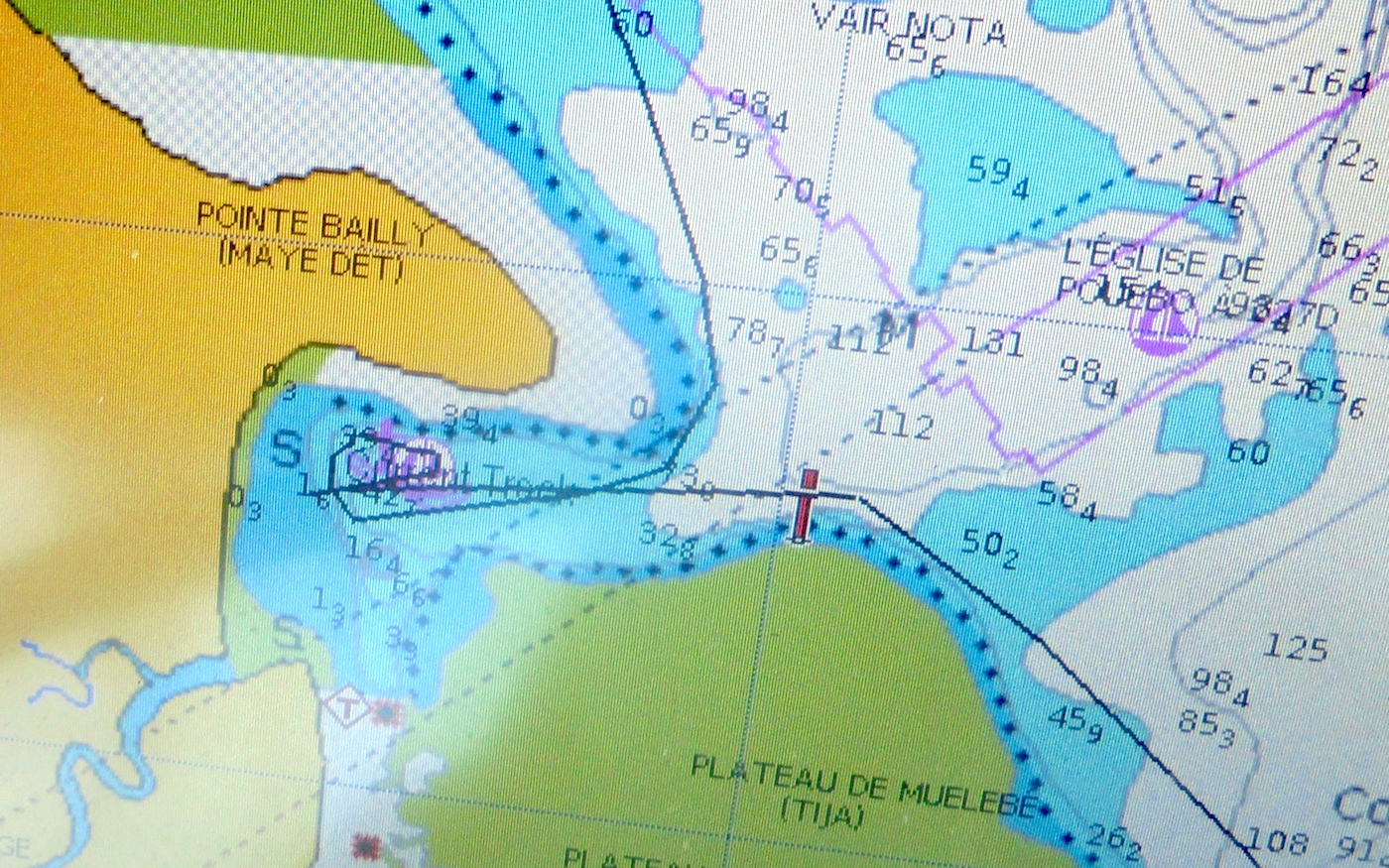
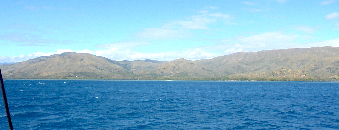
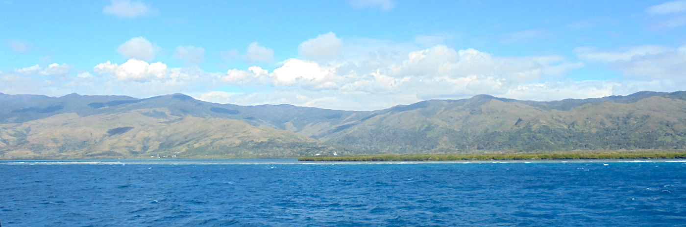
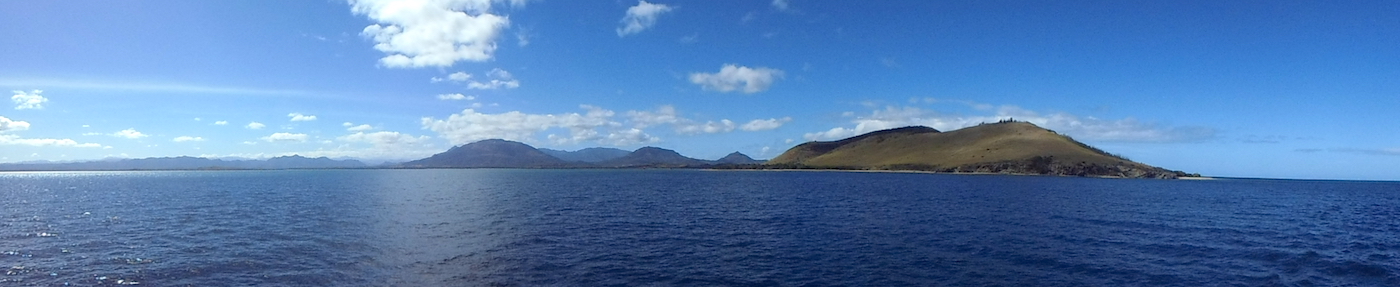
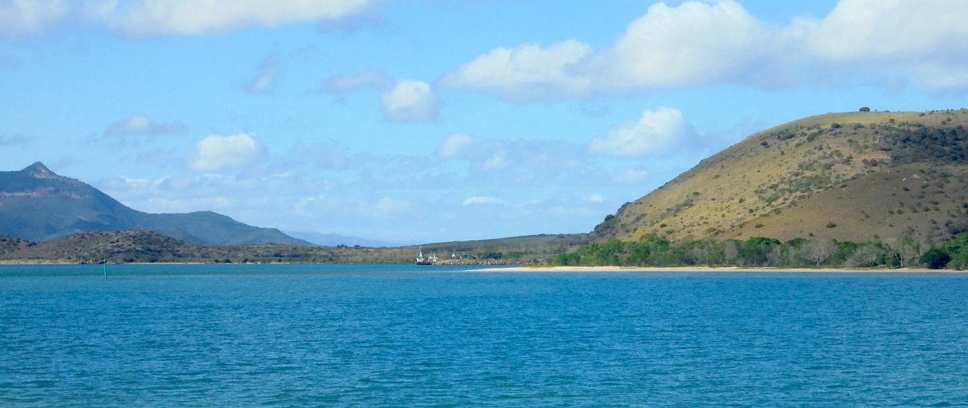
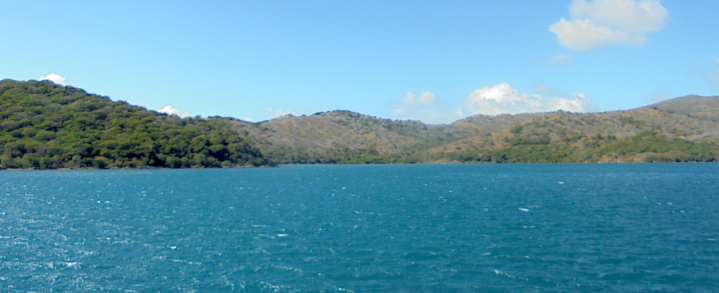
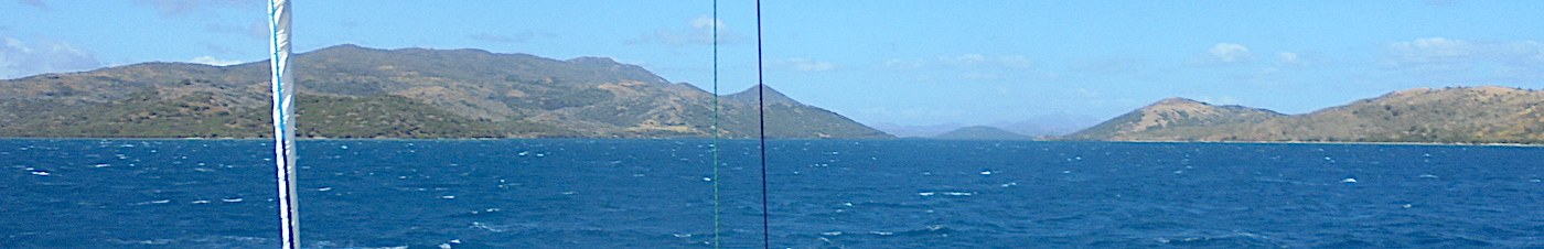
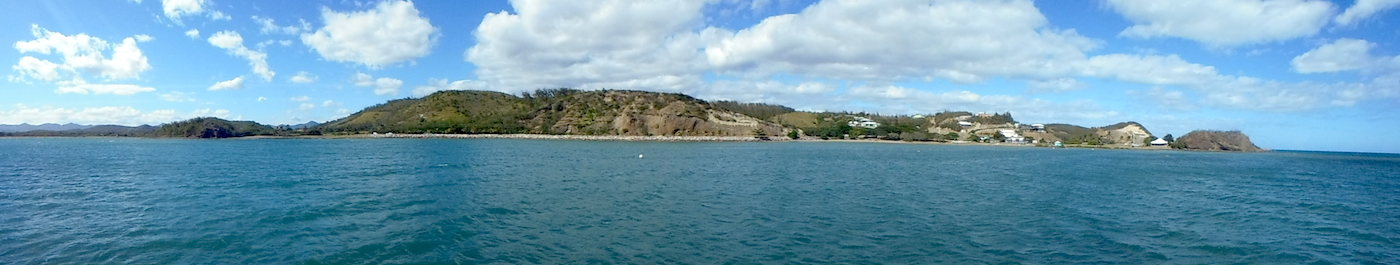
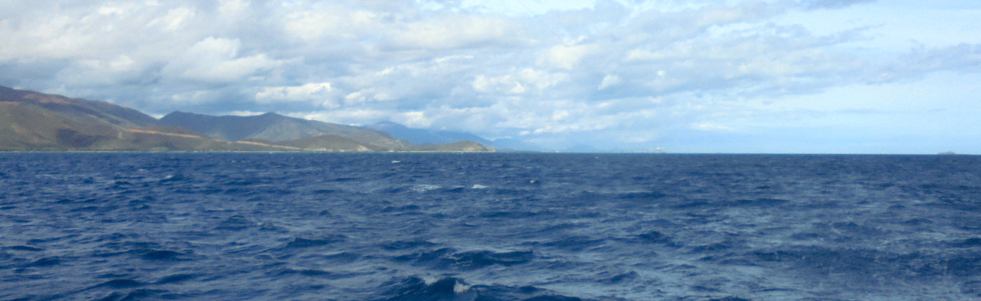
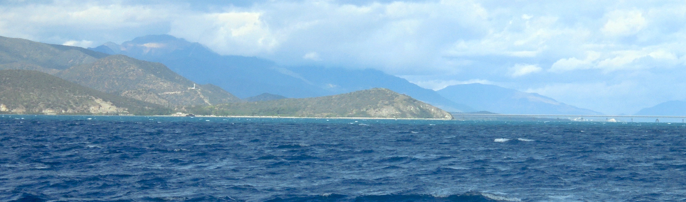
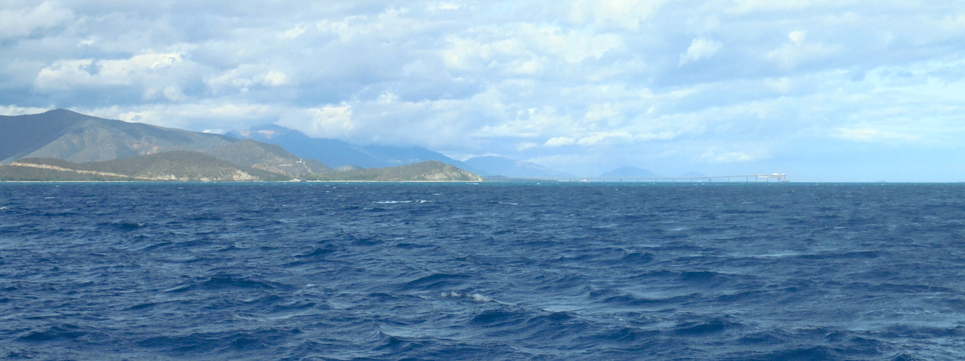
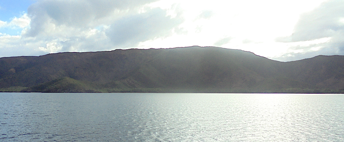
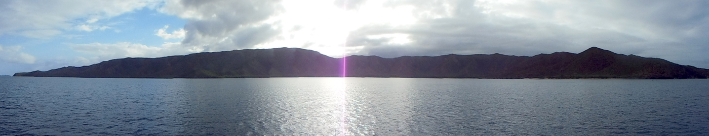
..the Trades are blowing hard, 20Kts and forecast to reach 30-35!  Time to seek shelter.  At the northern end of the East coast, the very deep Baie de Pam offers excellent holding and shelter.  From Hienhene to Pam, the inner reef channel offers good protection from the swells, and with the wind in our back, the passage was a cinch…

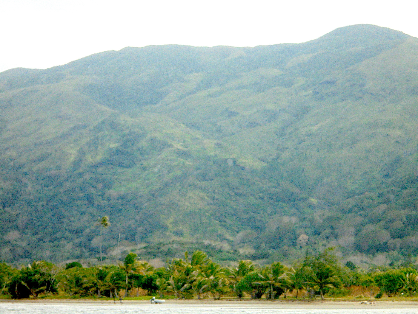
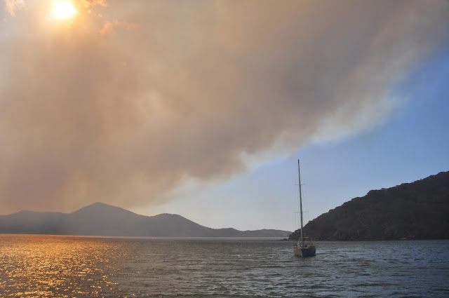
Well dug-in at the bottom of the 800-meter hill, we waited for the storm.  But we were attacked by a storm of another kind:  FIRE!  What had started as a small brush fire along the road was slowly expanding, and as the wind picked up the entire hill was on fire.  Gusts at 30+ were fanning the flames and pushing the smoke towards us.  It was an ugly 48 hours, filled with wind and smoke and nowhere to run.  That’s the way it goes… 


Dangers
Catabatic winds
Wind Exposure
N NE NW
Swell Exposure
N NW
Amenities
Shipwreck
Date & Time Visited
2014-07-15T07:53:00
2018-07-07T13:22:02
editor
Anchorage
New Caledonia
Depth
13.0 ft
4.0 m
Bottom Composition
S - Sand
Aids to Navigation
Depth Contours
Land
Buoys
Shore Access
Beach
Dock
Marina
Tidal Reef
Notes

Easy bay - shallows and moorings -

Dangers
Reef
Moorings
Wind Exposure
SW W NW
Swell Exposure
SW W
Amenities
Town
Airport
Date & Time Visited
2014-07-15T11:00:00
2018-07-02T14:22:02
editor
Anchorage
New Caledonia
Approach
◬ 20° 30.5613 S 164° 9.0715 E
Depth
23.0 ft
7.0 m
Bottom Composition
S - Sand
Aids to Navigation
Depth Contours
Land
Buoys
Shore Access
Beach
Dock
Notes

Big anchorage - watch for barges and wrecks

Dangers
Loading Platform
Commercial Port
Wind Exposure
S SW W NW
Swell Exposure
S SW W NW
Date & Time Visited
2014-07-15T11:09:00
2018-07-03T12:23:12
editor
Anchorage
New Caledonia
Depth
23.0 ft
7.0 m
Bottom Composition
Co - Coral
S - Sand
Aids to Navigation
Depth Contours
Land
Shore Access
Beach
Wind Exposure
N SW W NW
Swell Exposure
N SW W NW
Date & Time Visited
2014-07-15T10:55:00
editor
Anchorage
New Caledonia
Depth
13.0 ft
4.0 m
Bottom Composition
S - Sand
M - Mud
Aids to Navigation
Depth Contours
Land
Shore Access
River
Beach
Notes

Baie du Carenage at the top end of Baie de Prony up a muddy river. It was an excellent anchorage, completely protected from all directions and calm as a millpond. We explored the rivers by canoe until we got to the rock bars and couldn't paddle any further, we found interesting walks in the hills around us and even paid a visit to a hot spring on the eastern side of the anchorage.

Dangers
Reef
Wind Exposure
W NW
Swell Exposure
W NW
Amenities
Hot Springs
Date & Time Visited
2014-06-07T16:00:00
2018-07-04T11:11:11
editor