Anchorage
Mexico - Pacific
Punta Abreojos - S
Approach
◬ 26° 36.9141 N 113° 35.8768 W
◬ 26° 39.1789 N 113° 28.2344 W
◬ 26° 42.7312 N 113° 27.6370 W
◬ 26° 43.9824 N 113° 28.7082 W
◬ 26° 44.4239 N 113° 31.0153 W
◬ 26° 44.3687 N 113° 30.9947 W
Depth
15.0 ft
4.5 m
Bottom Composition
S - Sand
Aids to Navigation
Depth Contours
Land
Shore Access
Beach
Estuary
Notes

Bahia Ballenas is a broad shallow bay which offers little protection from the swell from any direction. The swell wraps around the point creating dangerous waves in the shoal water at the mouth of the lagoon and estuary. Like Ojo de Liebre, Bahia Ballenas is part of El Vizcaino Biosphere Reserve. The estuary is a grey whale sanctuary and is one of only two undeveloped nursery and breeding ground in the world of the Pacific gray whale. The best time to visit is January and remain until Mid-March.

Approaches

No info

Anchorage

The bay is shallow therefore it is necessary to anchor at least a mile offshore on a sandy bottom. The swell wraps around Punta Abreojos making the anchorage quite rolly. Take great care approaching the beach by dinghy as the breaking waves may overturn the boat.

Facilities

None

Dangers
Whales
Wind Exposure
SW W NW
Swell Exposure
SW W NW
Amenities
Marine Preservation Area
Whale Sanctuary
marina
Anchorage
Panama
Playa Socorros
Depth
11.0 ft
3.3 m
Bottom Composition
S - Sand
Aids to Navigation
Depth Contours
Land
Shore Access
Beach
Notes

great spot ! no signs no tour boats

Dangers
Shallows
Rocks
Wind Exposure
NE E SE
Swell Exposure
NE E SE
Amenities
Resort
National Park
Marine Preservation Area
Date & Time Visited
2018-05-05T16:44:43
dietmar
Anchorage
Costa Rica
Playa Uvita
Punat Uvita - S
Approach
◬ 9° 8.5255 N 83° 44.9086 W
◬ 9° 8.0692 N 83° 44.8415 W
◬ 9° 7.2128 N 83° 45.3226 W
Depth
18.0 ft
5.8 m
Bottom Composition
S - Sand
M - Mud
Aids to Navigation
Depth Contours
Land
Shore Access
Beach
Notes

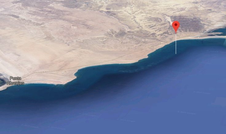
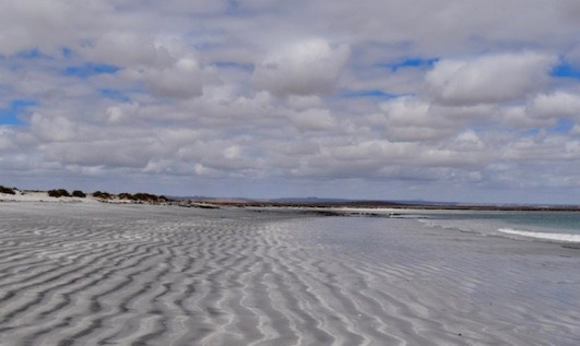
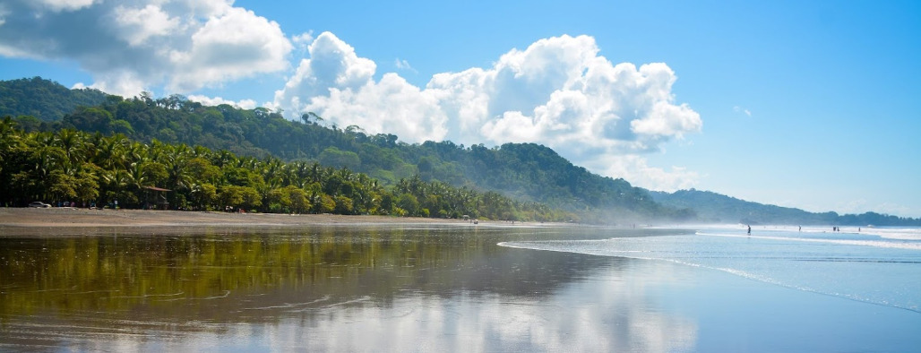
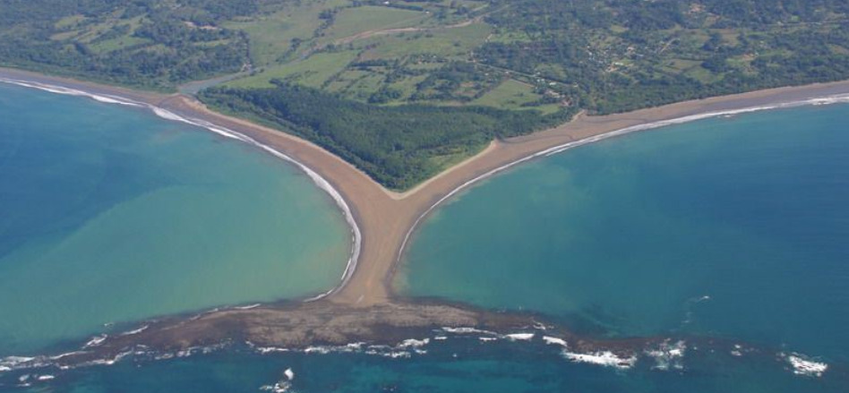
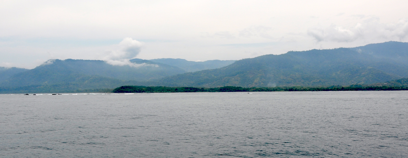
Bahia Uvita is a heavenly place with golden sandy beaches, rocky shorelines and beautiful coral reefs. One of the highlights is walking out to Punta Uvita Tombola at low tide. This strangely shaped sand bar and rocky islet is known as the Whale’s Tail – appropriate as the area is part of the Ballena Marine National Park.

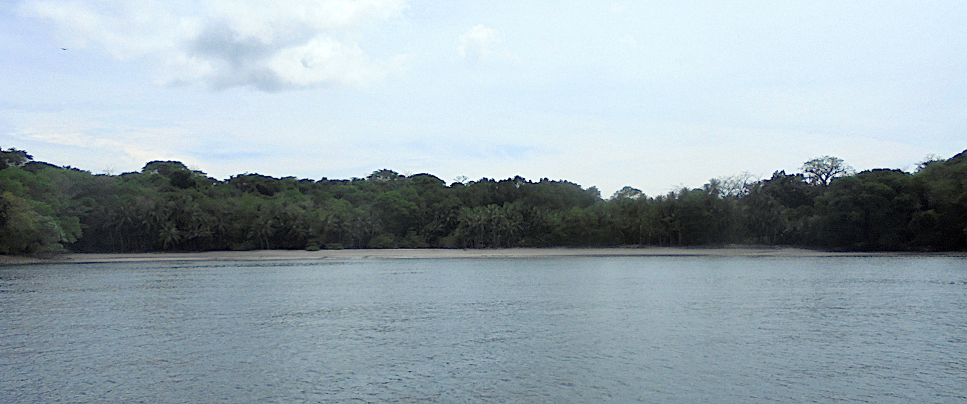
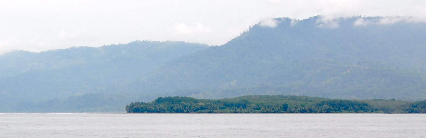
Unfortunately this incredible spot 27NM north of Drake Bay is unfortunately a very mediocre overnight rest stop. It is effectively a roadstead anchorage with no shelter from the wind and the swell drives straight into the bay. It is a great anchorage in calm weather.

Approaches

No info

Anchorage

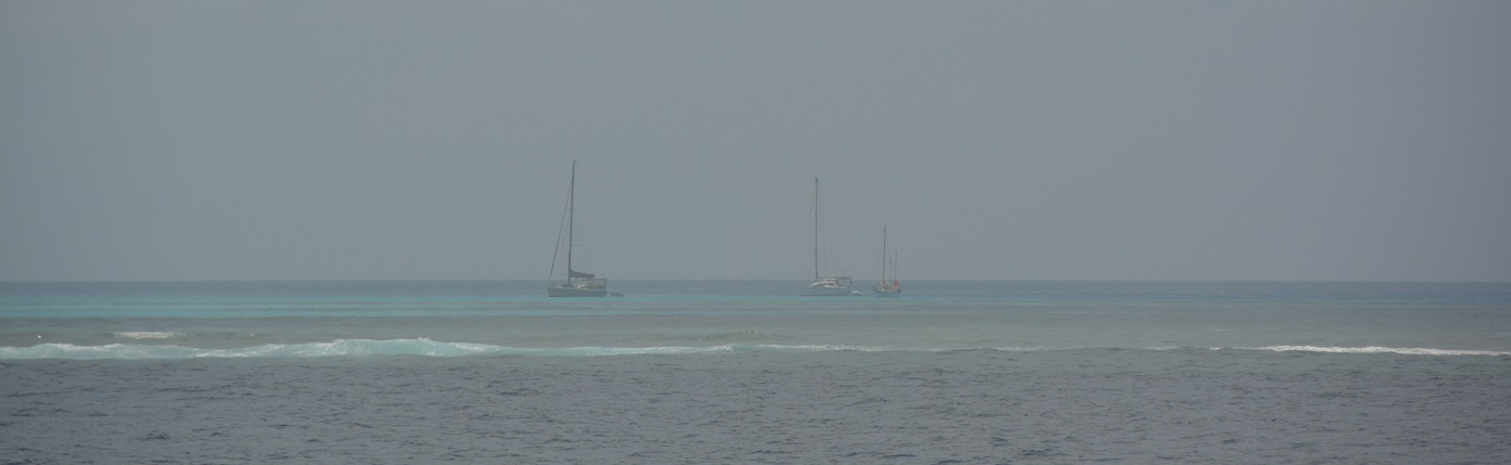
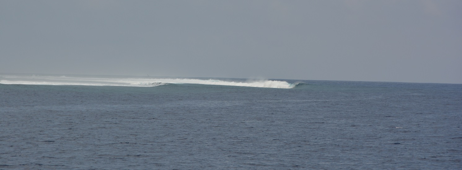
The bay shoals rapidly so anchoring in 6m feels a long way offshore. The holding in sand is good. Tuck in to the NW corner of the bay as best you can but this is a rolly anchorage and a stern anchor or flopper stoppers would help. Take great care landing a dinghy on the beach as waves break all around the bay.

Facilities

Uvita boasts a bank, a hardware store and a supermarket as well as the usual restaurants and guest houses and tour operators. Diving and snorkeling are good around the rocks south of the point, the water is crystal clear and the reefs are healthy.

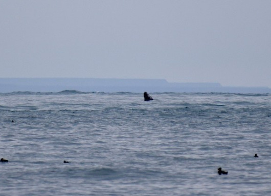
The Ballena Marine National Park was created as a safe area for humpback whale to breed and feed during their annual migrations. During summer months (July to mid November) the whales migrate north to their summer feeding grounds in the Arctic, then travel back to their winter breeding and calving grounds in the warmer tropical waters of Costa Rica (December to April). Sit on your back deck or book a whale-watching tour in the village.

Dangers
Swell
Extensive Reef System
Wind Exposure
E SE S SW W
Swell Exposure
SE S SW
Amenities
National Park
Marine Preservation Area
Supermarket
Bank
Car Rental
Adventure Tours
Date & Time Visited
2018-04-09T11:11:11
Anonymous
Anchorage
New Caledonia
Gran Recif Kue - SE
Recif Uime - S
Approach
◬ 22° 38.7234 S 166° 37.5628 E
Depth
12.8 ft
4.0 m
Bottom Composition
S - Sand
Co - Coral
Aids to Navigation
Depth Contours
Land
Shore Access
Reef
Notes

Next to a pass - marine preserve and surf  - exposed

Dangers
Reef
Anchoring Restrictions
Sharks
Fair Weather Anchorage Only
Wind Exposure
N NE E SE S SW W NW
Swell Exposure
NE E SE
Amenities
Marine Preservation Area
Surf
Date & Time Visited
2017-10-24T00:12:12
dietmar