RAM Marina & Yacht Club, S.A.
VHF
16
Telephone
15° 39.4192 N 88° 59.6381 W


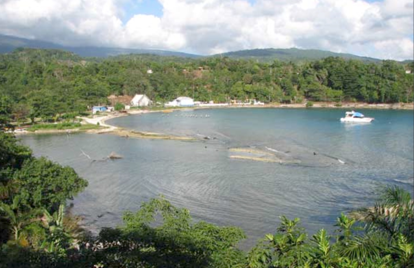
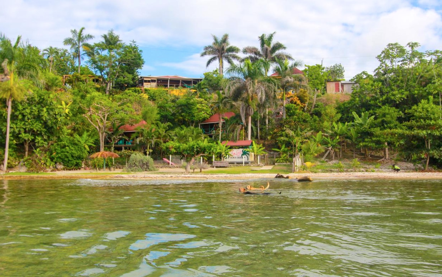
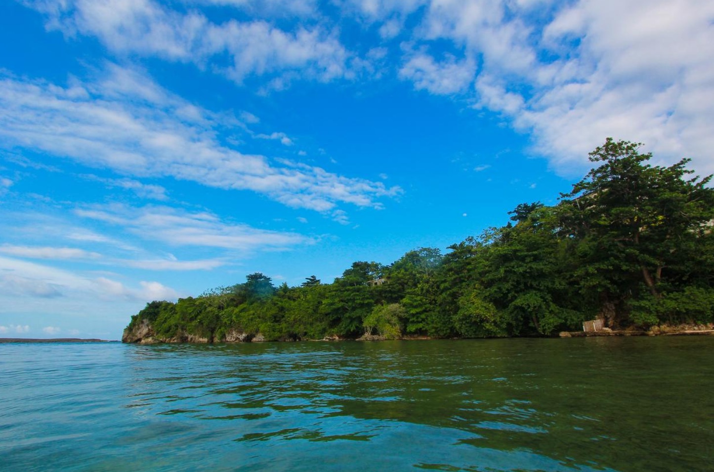
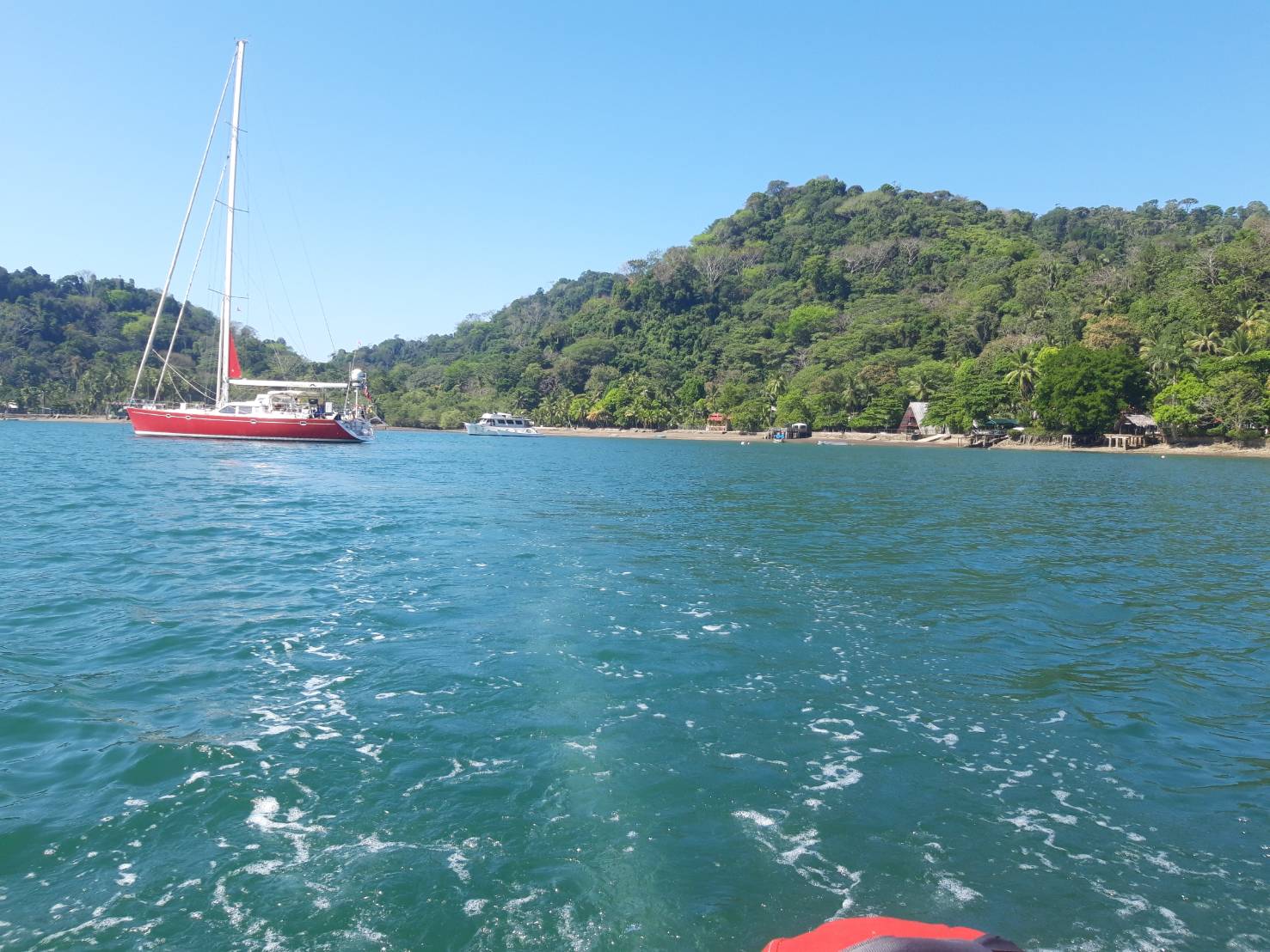
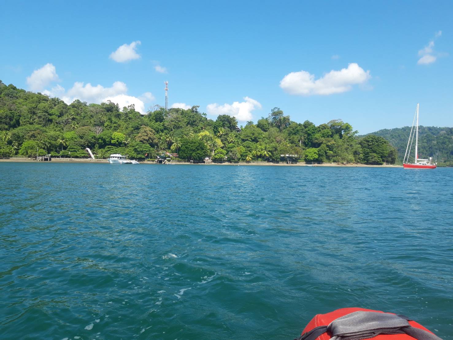
A tropical paradise, Río Dulce (SWEET RIVER) is one of the most desirable cruising destinations a
- Read more about RAM Marina & Yacht Club, S.A.
- Log in or register to post comments

Marina Real San Carlos
VHF
16
Telephone
27° 56.7452 N 111° 5.5149 W


Marina Real is located in the southeast corner of Bahia Algadones.
- Read more about Marina Real San Carlos
- Log in or register to post comments
Marmong Point Marina
VHF
16
Telephone
32° 58.5458 S 151° 37.1792 E


Marmong Point Marina has everything available to make your journey from Sydney to Newcastl
- Read more about Marmong Point Marina
- Log in or register to post comments


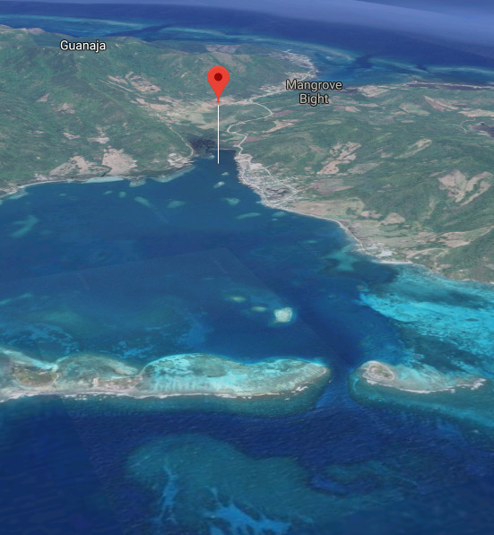
Bay Island Petroleum
⌖ 16° 20.4606 N 86° 28.3875 W
Telephone

BIP French Harbour Fuel Dock, BIP Station, BIP Mart, BIP GAS, & Transmar Marine Supply
- Read more about Bay Island Petroleum
- Log in or register to post comments

Marina de Pandop
VHF
67
Telephone
20° 34.8380 S 164° 16.4741 E


Fuel dock open
MON - FRI 7:00 AM - 11:30 AM and 1:00 PM to 4:30 PM
- Read more about Marina de Pandop
- Log in or register to post comments