Anchorage
New Caledonia
Depth
38.0 ft
11.5 m
Bottom Composition
S - Sand
M - Mud
Si - Silt
Aids to Navigation
Depth Contours
Land
Shore Access
Beach
River
Notes

Great spot for viewing the TOA Waterfall

The Tao waterfall can be seen in all its majestic glory. Spectacle and sensation guaranteed!

Fly those drones !

Dangers
Day Anchorage
Wind Exposure
N NE E SE
Swell Exposure
N NE E SE
Amenities
Point of Interest
Date & Time Visited
2018-07-08T12:22:22
dietmar
Anchorage
Panama
Wreck of the Sub Marine Explorer - Anchorage
Depth
17.0 ft
5.6 m
Bottom Composition
S - Sand
R - Rocky
Co - Coral
Aids to Navigation
Depth Contours
Land
Shore Access
Beach
Notes

17' temp anchorage sand and rock

Dangers
Small Wreck
Wind Exposure
N NE W NW
Swell Exposure
NE W NW
Amenities
Point of Interest
Wreck
Date & Time Visited
2012-12-12T12:00:00
Anonymous
Anchorage
Italy - Sardinia
Carprera - NE
Depth
29.0 ft
9.0 m
Bottom Composition
S - Sand
Aids to Navigation
Depth Contours
Land
Shore Access
Beach
Notes

James Utzschneider - May 2017

Dangers
Rocks
Popular Anchorage
Wind Exposure
S
Swell Exposure
SE S
Amenities
Point of Interest
admin2
Anchorage
Mexico - Pacific
Fishing Fleet Anchorage
Approach
◬ 19° 3.6005 N 104° 20.8732 W
◬ 19° 3.7806 N 104° 19.0412 W
◬ 19° 3.7246 N 104° 18.6987 W
◬ 19° 3.5713 N 104° 18.5957 W
◬ 19° 3.3571 N 104° 18.6421 W
Depth
43.0 ft
13.1 m
Bottom Composition
S - Sand
Shore Access
Beach
Notes

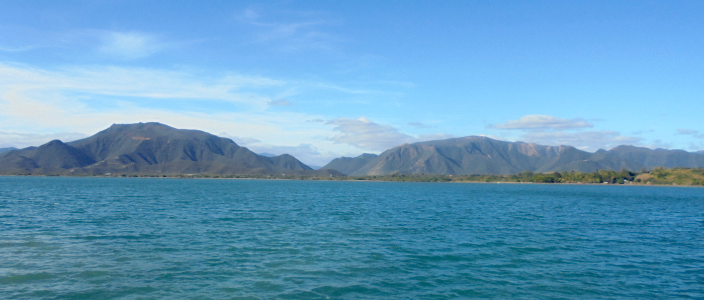
Manzanillo Bay was discovered by the Spanish in 1527 and became an important port for ship building and provisioning for expeditions to China, Asia and particularly the Philippines. It remains a large cargo port and is a port of entry to Mexico. Known as the sailfish capital of the world it also boasts miles of pristine beaches and swathes of unspoiled wilderness.

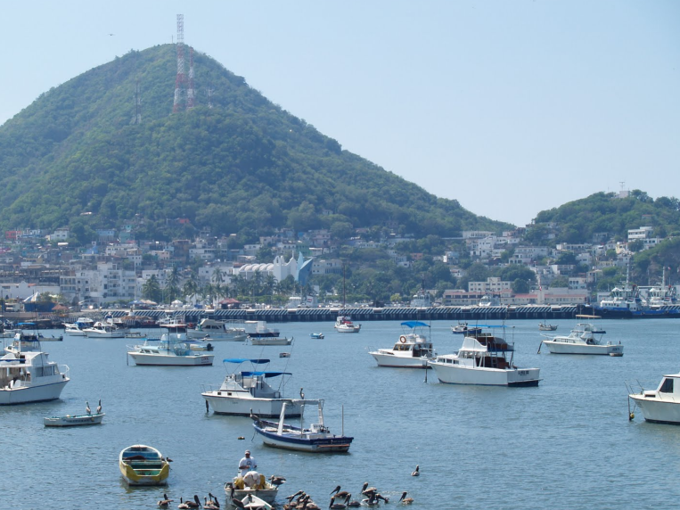
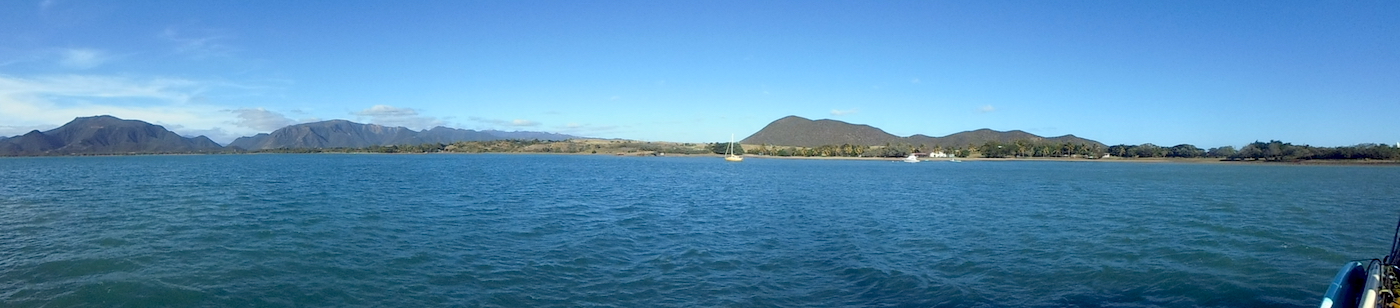
The port of Manzanillo lies on the south side of the bay. Many local boats moor in a small anchorage area behind the harbour wall close to the entrance to the port. The area is well protected from wind and swell although the noise and dust from the docks can be a bothersome.

Approaches

The approach is straight forward. Call the Manzanillo Port Captain on VHF16 to arrange anchorage in the bay.

Anchorage

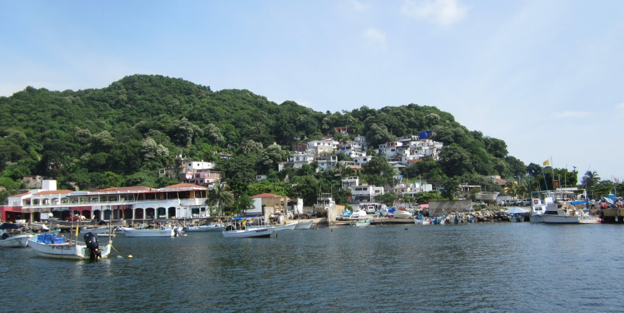
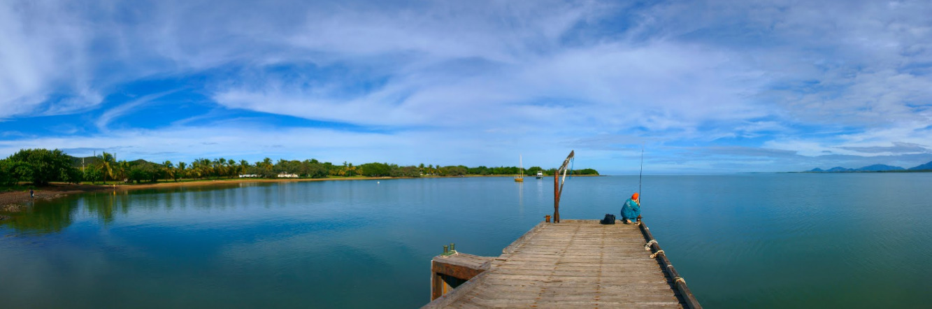
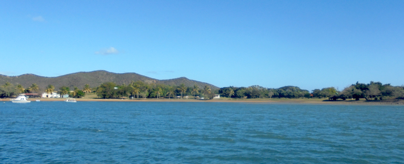
Find a spot behind the cruise ship dock amongst the pangas and tour boats and anchor in 13m on a sandy bottom with good holding. Tie the dinghy up the fishermens dock or at the Chinese Restaurant on the west side of the anchorage area. Walk through the restaurant to town but make sure you stop for a drink or a meal to thank them. Landing the dinghy on Playa San Pedrito is convenient for the Immigration and Port Authority offices but watch out for the swell.

Facilities

Just a short walk away lies El Centro, the historical heart of Manzanillo. Banks, supermarkets and plenty of restaurants abound and away and the Mercado Municipal 5 de Mayo is great for fresh produce. Walk up Cerro de la Cruz to the viewing point for a fantastic view of Manzanillo Bay and the mountains in the hinterland.

Yacht transportation can be arranged to a number of ports worldwide from the Port at Manzanillo.

Dangers
Fishing Vessels
Cruise Ships
shipping traffic
Wind Exposure
N NE NW
Amenities
Port
City
Market
Point of Interest
Restaurants
Bar
Supermarket
Laundry
Airport
Hospital
Date & Time Visited
2017-02-23T11:00:00
admin
Anchorage
Japan
Approach
◬ 39° 11.0940 N 139° 33.8400 E
Depth
32.0 ft
10.0 m
Bottom Composition
S - Sand
M - Mud
Shore Access
Beach
Commercial Dock
Sea Wall
Dangers
Ferry Traffic
Wind Exposure
NE E SE
Amenities
Post Office
Point of Interest
dietmar
Anchorage
New Caledonia
Depth
16.0 ft
5.0 m
Bottom Composition
S - Sand
M - Mud
Aids to Navigation
Depth Contours
Land
Buoys
Cardinal Marks
Shore Access
Beach
Tidal Reef
Marina
Town Dock
Notes

Hienghene got our attention, steals your heart, and I actually went on a 3-hour walk in the hills. 
It’s a MUST !!!


Awesome spot - meet the locals - this is core Kanak Culture !

If you take time to read the   history you will always remember and be touched by Hienghene.

Dangers
Reef
Bay Shallows
Wind Exposure
N NE
Swell Exposure
N NE
Amenities
Provisioning
Transportation
Tourist Information
Historic Site
Point of Interest
Fuel
Water
Date & Time Visited
2014-07-14T15:27:00
2018-07-09T11:11:11
editor
Anchorage
New Caledonia
Voh
Approach
◬ 21° 2.7344 S 164° 35.1194 E
Depth
11.0 ft
3.3 m
Bottom Composition
S - Sand
M - Mud
Aids to Navigation
Depth Contours
Land
Buoys
Shore Access
Beach
Dock
Marina
Sea Wall
Notes

Easy bay mostly mud - wind whips around so add scope - quite shallow overall - no swell

Wind Exposure
NE E
Amenities
Provisioning
Historic Site
Point of Interest
Date & Time Visited
2012-06-17T21:04:00
2018-06-30T15:09:11
editor