Anchorage
Costa Rica
Tiki
Playa Frijolar
Depth
35.0 ft
10.5 m
Bottom Composition
S - Sand
Aids to Navigation
Depth Contours
Land
Shore Access
Beach
Notes

Playa Marbella lies 17NM south of Tamarindo close to the wonderfully named Punta Filibusteros. The shoreline has a couple of good surf breaks which could lead you to correctly assume that this roadstead anchorage is going to be rolly. It is offers no protection from the swell or the weather and when papagayos are blowing it just makes the waves better (for surfers).

Approaches

Beware of the rocks off the point to the North.

Anchorage

This is a marginal anchorage. If you really have to stop for the night nose your way in, find a piece of sand and drop the anchor. The beach is rocky suggesting the holding at Playa Marbella may not be very good. Dinghy access to the beach should only be considered in very calm conditions.

Facilities

There is a grocery store and a couple of restaurants on the main road behind the village.

Wind Exposure
E S SW W NW
Swell Exposure
S SW W NW
Amenities
Restaurant
Grocery Store
Date & Time Visited
2013-03-01T16:08:00
editor
Anchorage
Costa Rica
Ollie's Bay
Approach
◬ 10° 48.4708 N 85° 52.8488 W
◬ 10° 49.5027 N 85° 50.7374 W
◬ 10° 49.8264 N 85° 49.5838 W
◬ 10° 50.1248 N 85° 48.8319 W
◬ 10° 50.4409 N 85° 48.5667 W
◬ 10° 50.5724 N 85° 48.2037 W
◬ 10° 50.5649 N 85° 47.7968 W
◬ 10° 50.4789 N 85° 47.6501 W
Depth
28.0 ft
8.5 m
Bottom Composition
S - Sand
Aids to Navigation
Depth Contours
Land
Shore Access
Beach
Notes

Bahia Potrero Grande is a large west facing bay on the south side of Punta Santa Elena. The bay is well protected from prevailing NE-SE wind but is open to the Pacific swell. This bay also lies within the Santa Rosa National Park and park rangers often stop by to collect park fees.

Local guides from Playas del Coco bring boats full of surfers to Ollie's Point, a well known for the surf break on the northern side of the bay. Just to the north of the bay is the airstrip from which Oliver North supported the Nicaraguan Contras via arms sales to Iran in 1986 - the surf break was named after him.

Approaches

No info

Anchorage

Anchor on the south side of the bay to avoid as much of the swell as possible, in  8.5m on sand. The holding is good but a stern anchor is recommended to stay pointing into the swell. Landing a dinghy on the beach can be hazardous on all but the calmest days.

Facilities

None

Wind Exposure
SW W NW
Swell Exposure
SW W NW
Date & Time Visited
2012-12-22T16:15:00
editor
Anchorage
Costa Rica
Bahia de Tamarindo
Puerto Guacamaco
Approach
◬ 10° 18.2048 N 85° 50.9637 W
Depth
20.0 ft
6.7 m
Bottom Composition
S - Sand
Aids to Navigation
Depth Contours
Land
Shore Access
Beach
River
Notes

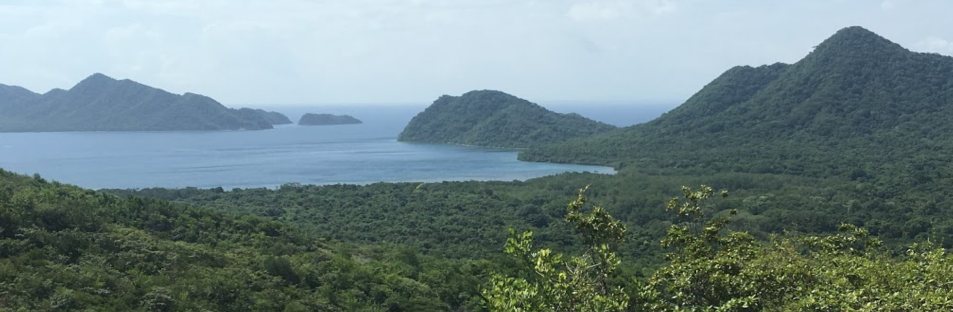
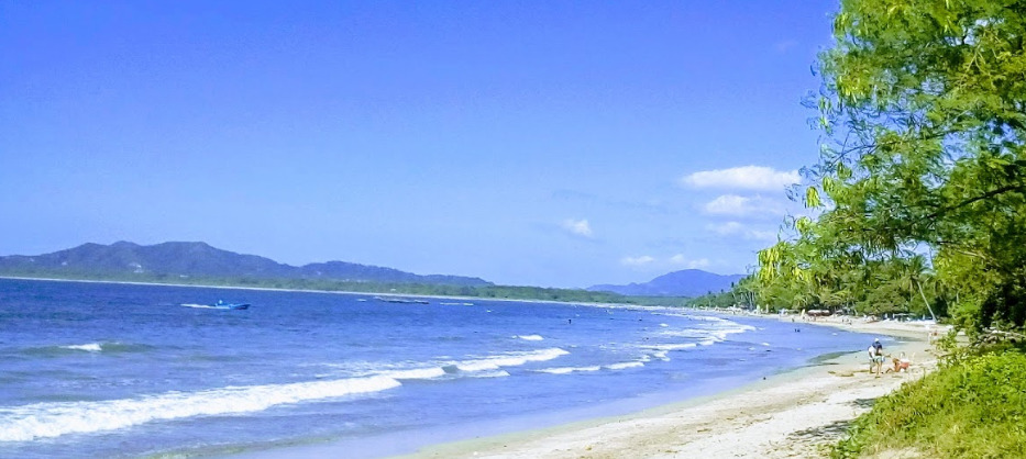
Tamarindo, or Tamagringo as it is affectionately called, lies at the heart of Costa Rica’s “Gold Coast”. The large bay is open the north and south offering little protection from the weather or swell. Tamarindo is a tourist town popular with surfers drawn by the consistent and accessible waves. Beginners can learn to surf on the beach break at Playa Tamarindo, other bigger waves break either side of the rivermouth and along Playa Grande, the beautiful beach to the north of the river.

Playa Grande lies within the Las Baulas National Marine Park and is home to the largest nesting colony of leatherback turtles on the Pacific coast of the Americas. The females come ashore between October and May to lay their eggs and turtle watching tours can be booked in Tamarindo.The river estuary is also home to howler monkeys and crocodiles.

Approaches

Rounding Mount Hermoso keep clear of rocks around 10° 19.96 N -85° 52.02 W at the north end of the beach. A large submerged reef is located in the middle of the bay to the north of the anchorage around 10° 18.0 to 18.5 N -85° 50.60 to 51.10 W.  Breaking waves make the reef easy to spot at low tide, otherwise follow the route that the tour boats take coming in and out of the bay.

Anchorage

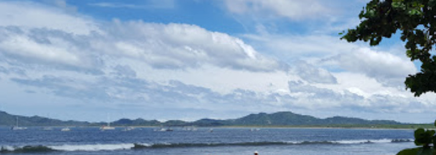
The anchorage is full of tour boats on moorings but there should still be room for a few visiting yachts. Anchor east of Isla Capitan in 6.7m on a sandy bottom with some rocks. Boats have reported dragging while setting anchor but once set the holding is good. This is a rolly anchorage although Isla Capitan does provide some shelter from the swell.

Landing the dinghy on the beach can be hazardous if swell is coming into the bay. The stretch of beach beside the large white hotel with a pale blue building in the trees in front of it is reported to have less wave action. Taking the dinghy into the estuary is possible but watch out for the sand bar across the mouth where waves are normally breaking. Alternatively leave the dinghy on the boat and use Mandred's Taxi Service (WhatsApp +506 7035 1724). He charges $US 10 p/p for a round trip.

Facilities

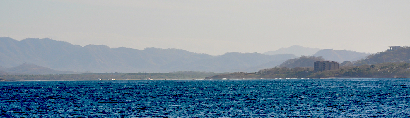
Tamarindo is packed with hotels and surf camps, restaurants and bars. There is also banks, a laundry, grocery stores and a large supermarket close to the river mouth.

Dangers
Foul Ground
Rocks
Fishing Vessels
Reef
Moorings
Surfers
Wind Exposure
N SW W NW
Swell Exposure
N SW W NW
Amenities
Surf
Restaurant
Hotels
Bar
Laundry
Bank
Date & Time Visited
2012-12-29T16:12:00
2018-03-08T11:11:11
editor