LOCK YOUR YACHT AT NIGHT
Petty thieves will board your yacht here while you are on board and steal items - lock it down !
SY Vagabundo Dos reported being bordeed while they where sleeping and had their iphones stolen
- Read more about LOCK YOUR YACHT AT NIGHT
- Log in or register to post comments
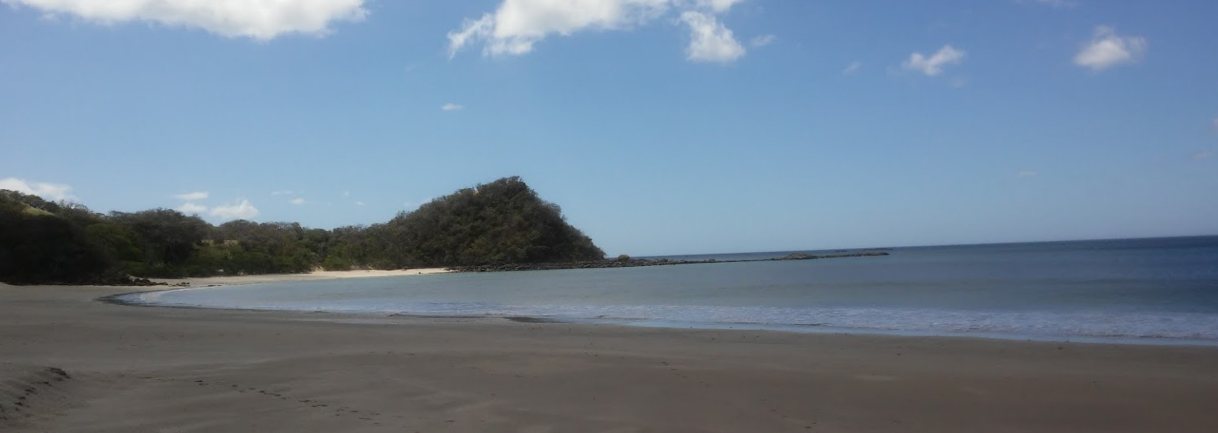
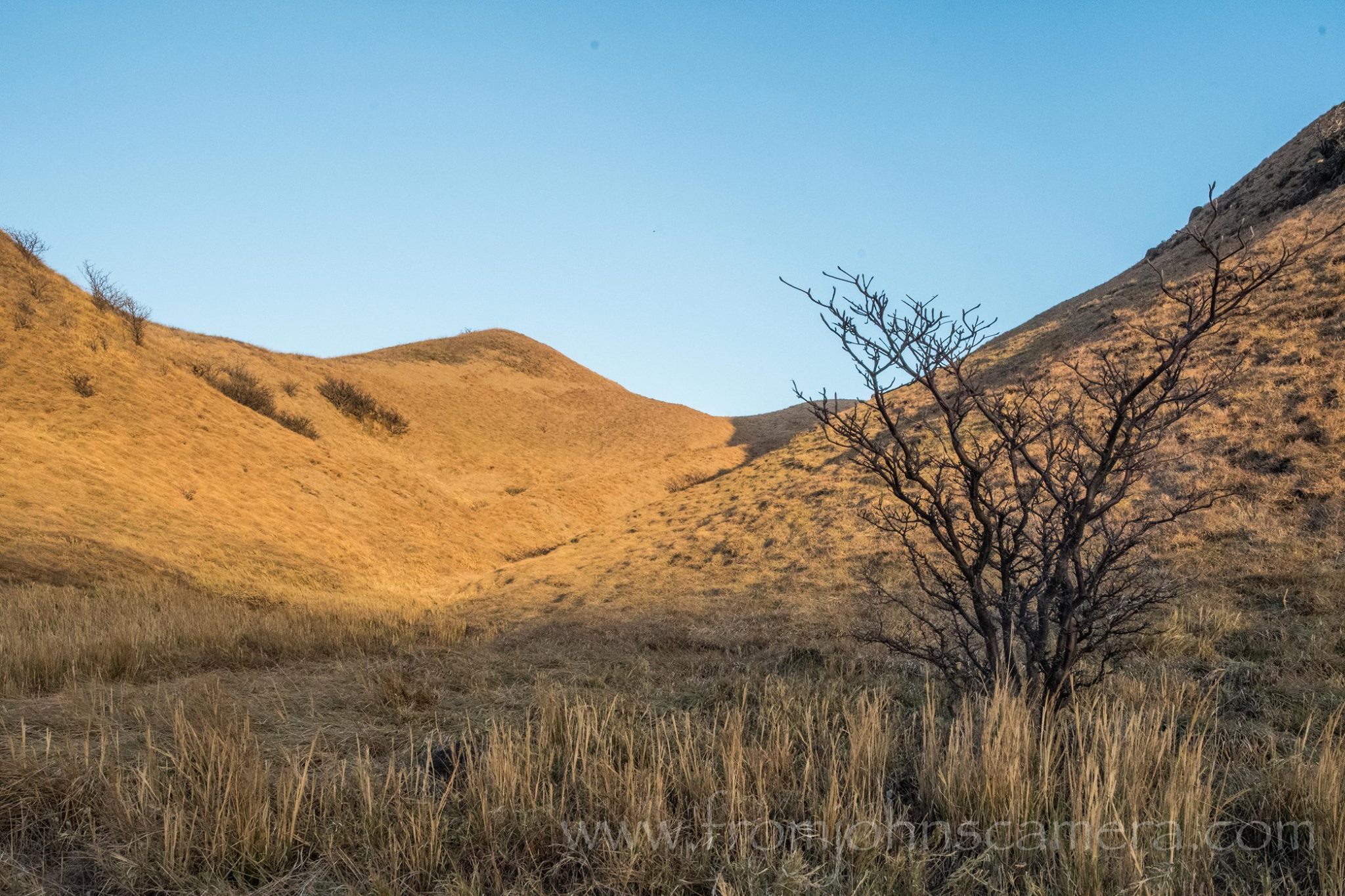
BAHIA SANTA ELENA - BAHIA PORTERO GRANDE
- Read more about BAHIA SANTA ELENA - BAHIA PORTERO GRANDE
- Log in or register to post comments
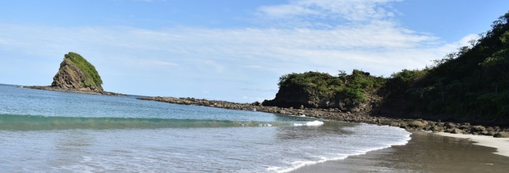
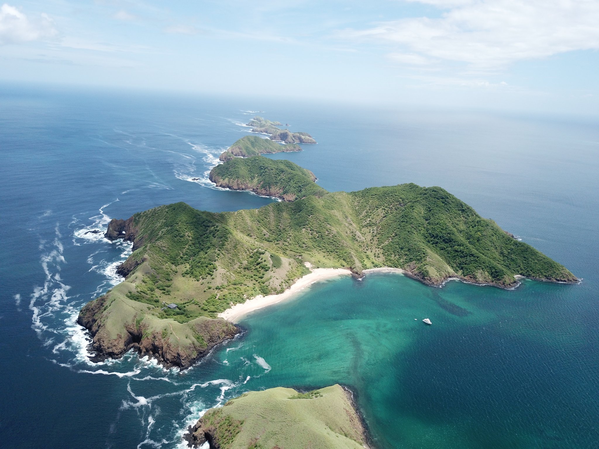
Ollies Break - Bahia Huevos
- Read more about Ollies Break - Bahia Huevos
- Log in or register to post comments
Bahia Huevos - Marina Papagayo
- Read more about Bahia Huevos - Marina Papagayo
- Log in or register to post comments
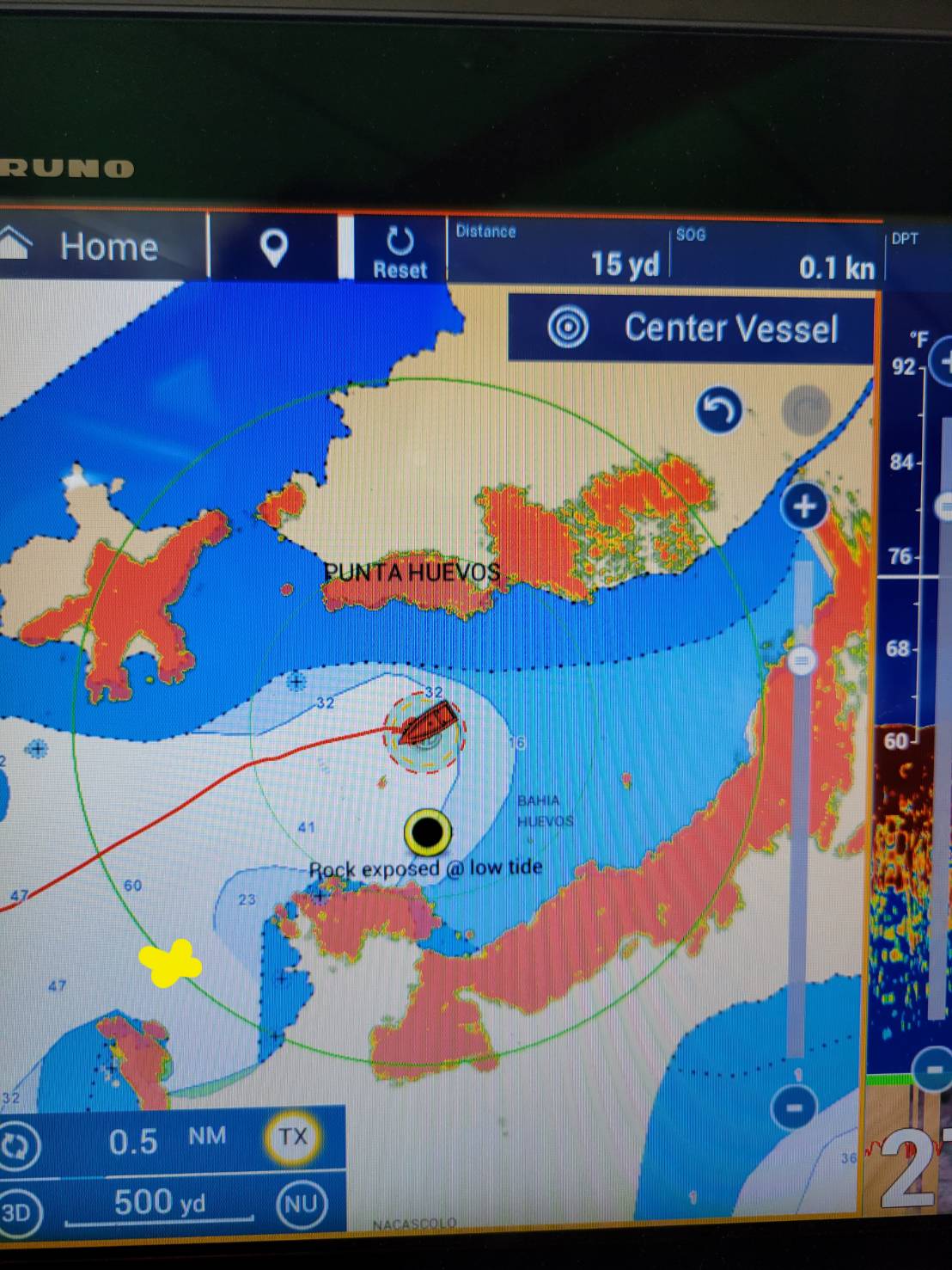
Mischarted Rocks
WARNING IN CR ANCHORAGE: Bahia Huevos, just NW of Marina Papagayo. In both the Pat Rains and Charlie's Charts have chartlets showing an anchorage on the S side of the bay that is actually a location of a rock that is exposed at lower tides. I believe both authors have their anchor located one indent east too far. In Pat's guide, her x marks a hazard appears to be in a bay that is preferred. We cruised quickly through that bay without seeing a hazard but obviously my review is not complete. I feel her x and anchor marks are switched. In the photo I will post next I marked the location of the exposed rock with radar at N 10.636 W 85.680. The Yellow x is where Pat has her X in the guidebook. This is also a bay that many day charters use to anchor. I will try and add the hazard to Good Nautical when I have more service. To that point, the rock is visible in sat imagery...
@RED ROVER Kevin
- Read more about Mischarted Rocks
- Log in or register to post comments
Witches Rock Playa Naranjo Surf Spot

Along the 4m beach of Playa Naranjo is another world-class wave.


Tenorio Volcano National Park
Bring boots - good hike along the blue water 1000 colon fee Rio Celeste waterfalls


- Read more about Tenorio Volcano National Park
- Log in or register to post comments