

Marina Vallarta
VHF
16
18
Telephone
20° 39.8057 N 105° 15.0636 W


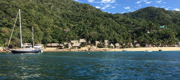
Marina Vallarta lies in the heart of downtown Puerto Vallarta.
- Read more about Marina Vallarta
- Log in or register to post comments
Paradise Village Marina
VHF
16
20° 41.5016 N 105° 17.5541 W


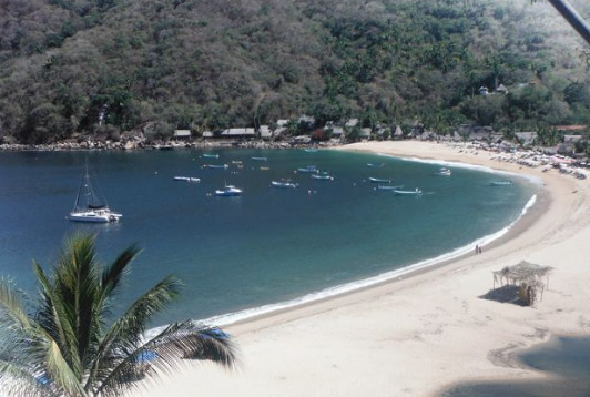
Paradise Village Marina lies on the north side of the lagoon at Nuevo Vallarta.
- Read more about Paradise Village Marina
- Log in or register to post comments
Marina Nuevo Vallarta
VHF
16
20° 41.4057 N 105° 17.4928 W


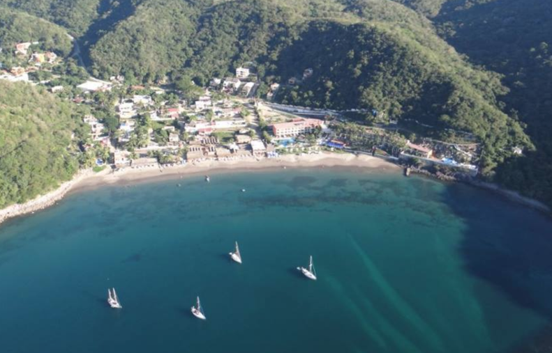
The area of Nuevo Vallarta lies just north of the mouth of the Rio Ameca, 3.5NM
- Read more about Marina Nuevo Vallarta
- Log in or register to post comments