

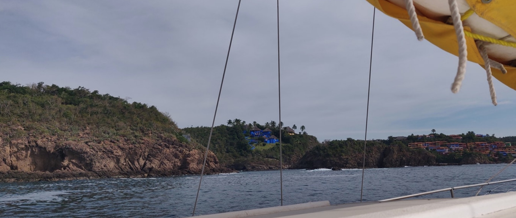
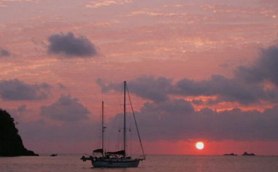
Yelapa - Edgar's Moorings
Mooring 20° 29.4892 N 105° 26.6208 W


300 pesos per day Talk to Edgar, his panga has “Fanny’s” on the side. He will hook you up!
- Read more about Yelapa - Edgar's Moorings
- Log in or register to post comments
Tequila
20° 53.1046 N 103° 50.3412 W
The official town of Tequila - a 3 hour drive from the Coast - Museum Tasting and how it is produced barrels and Tequila Tastings.


- Read more about Tequila
- Log in or register to post comments
Galvanizadora Rubigal S.A de C.V.
- Read more about Galvanizadora Rubigal S.A de C.V.
- Log in or register to post comments
Drop of your old anchor chain ( or have it delivered and picked up )
2017 Pricing
PUERTO VALLARTA
20° 39.3475 N 105° 14.5713 W


All international clearance in to or out of Mexico from Banderas bay must be done through Nuevo Vallarta.
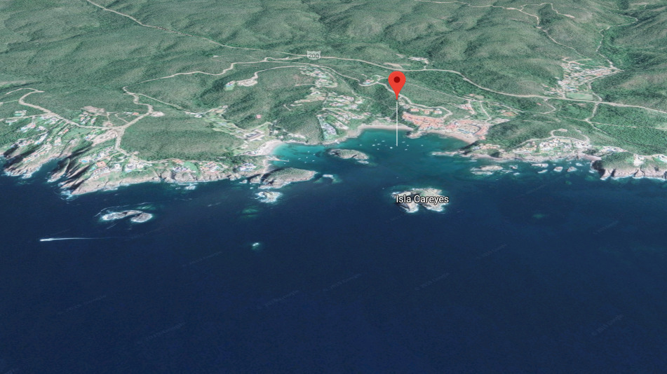
Marina Puerto Navidad
VHF
16
Telephone
19° 11.7294 N 104° 40.8748 W


Marina Puerto Navidad is located on the south side of the entrance
- Read more about Marina Puerto Navidad
- Log in or register to post comments
Las Hadas Resort and Marina
VHF
16
Telephone
19° 5.9425 N 104° 20.7617 W


Medmoor
- Read more about Las Hadas Resort and Marina
- Log in or register to post comments