Anchorage
Mexico - Pacific
Playa Panteon
Approach
◬ 15° 39.1427 N 96° 29.6730 W
◬ 15° 39.4651 N 96° 29.5340 W
◬ 15° 39.8754 N 96° 29.5971 W
◬ 15° 39.8803 N 96° 29.6769 W
Depth
14.0 ft
4.4 m
Bottom Composition
S - Sand
Aids to Navigation
Depth Contours
Land
Shore Access
Beach
Pier
Notes

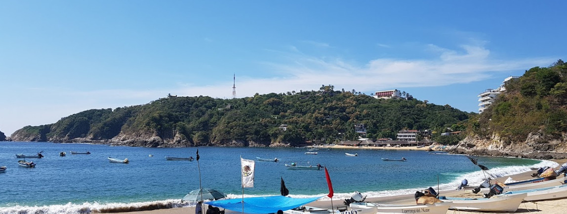
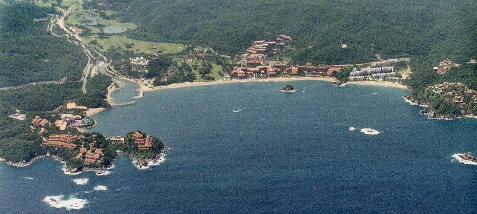
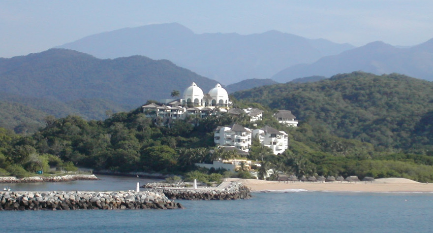
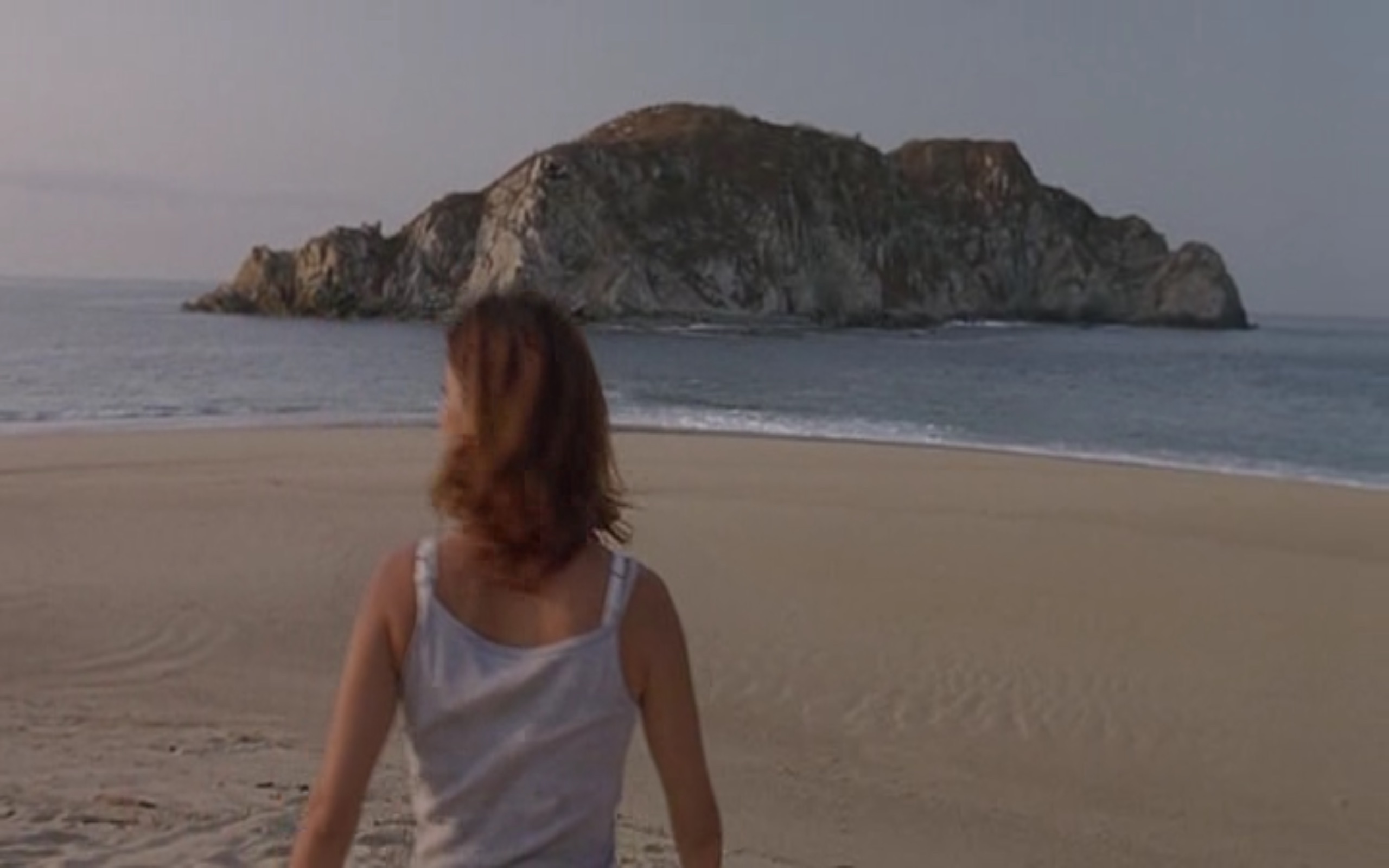
The anchorage on the west side of Puerto Angel is recommended when the swell is running from the west or southwest. The centre of the village and the Port Captain are a short dinghy ride across the bay.

Approaches

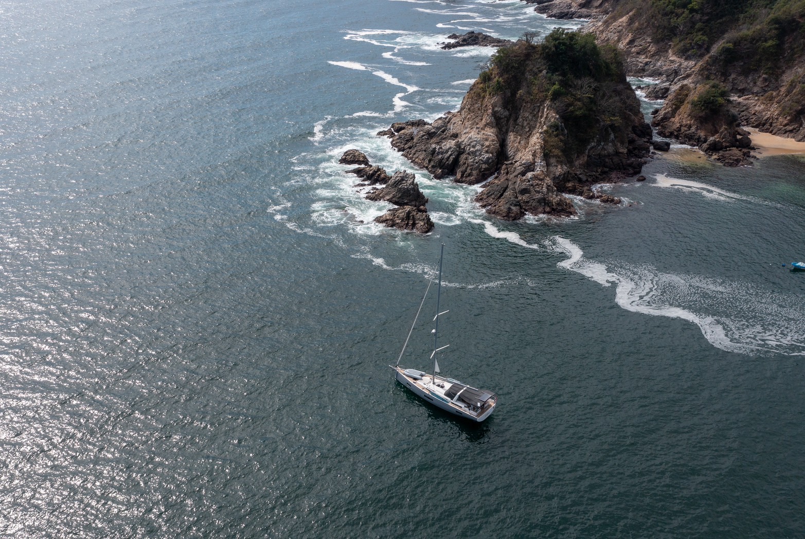
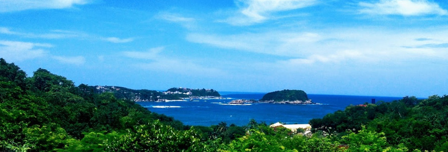
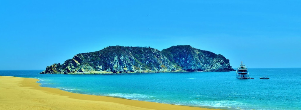
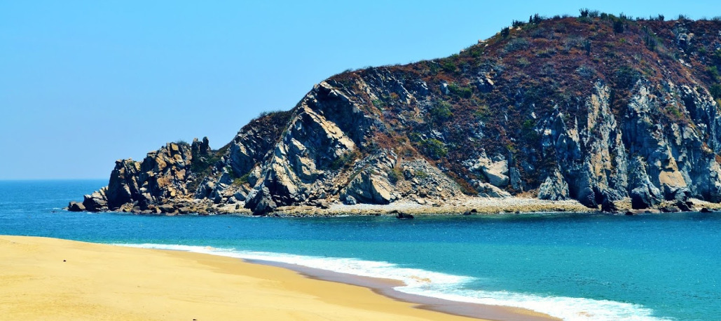
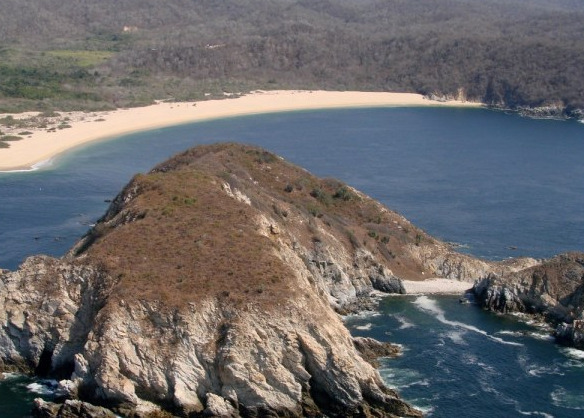
Stay at least 0.5NM while rounding the rocky headlands at the entrance to the bay then entrance mid-channel is straight forward.

Anchorage

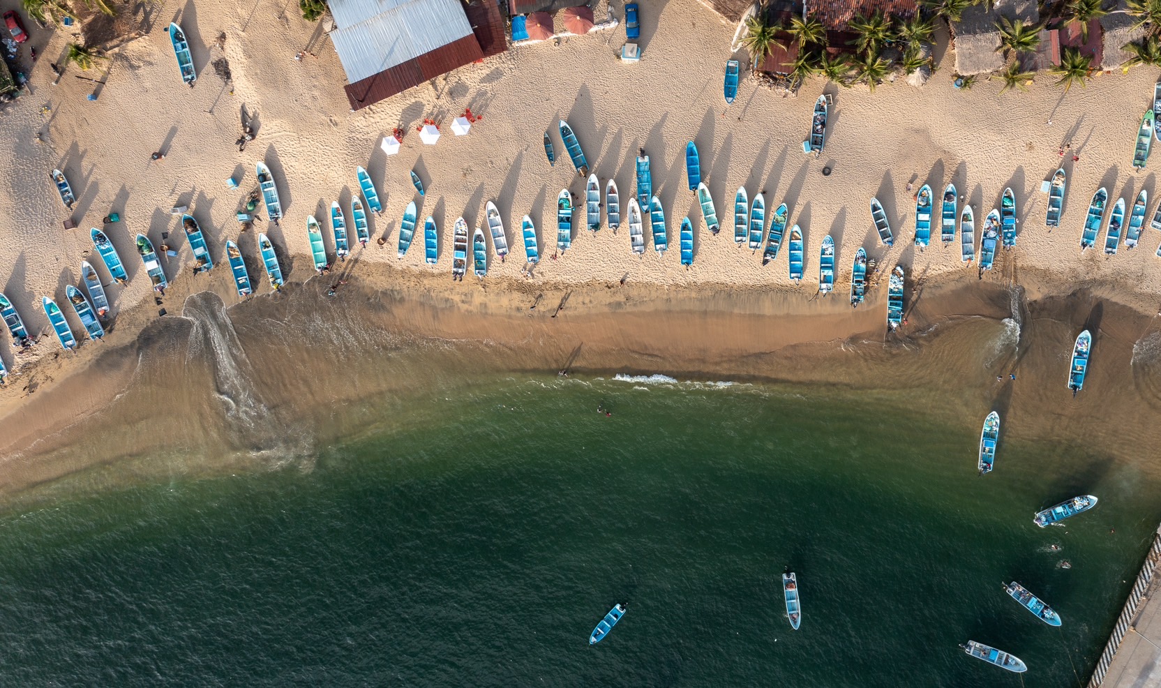
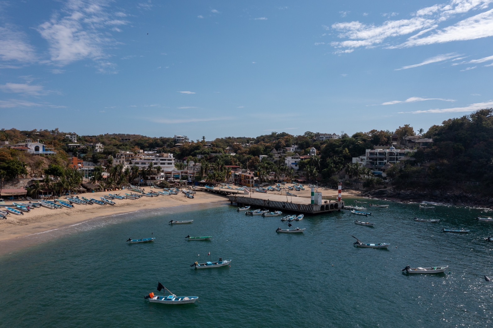
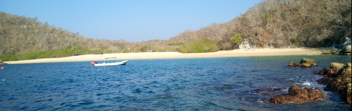
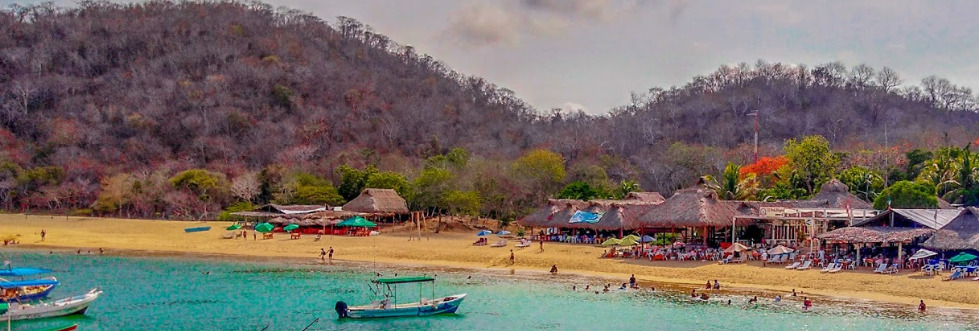
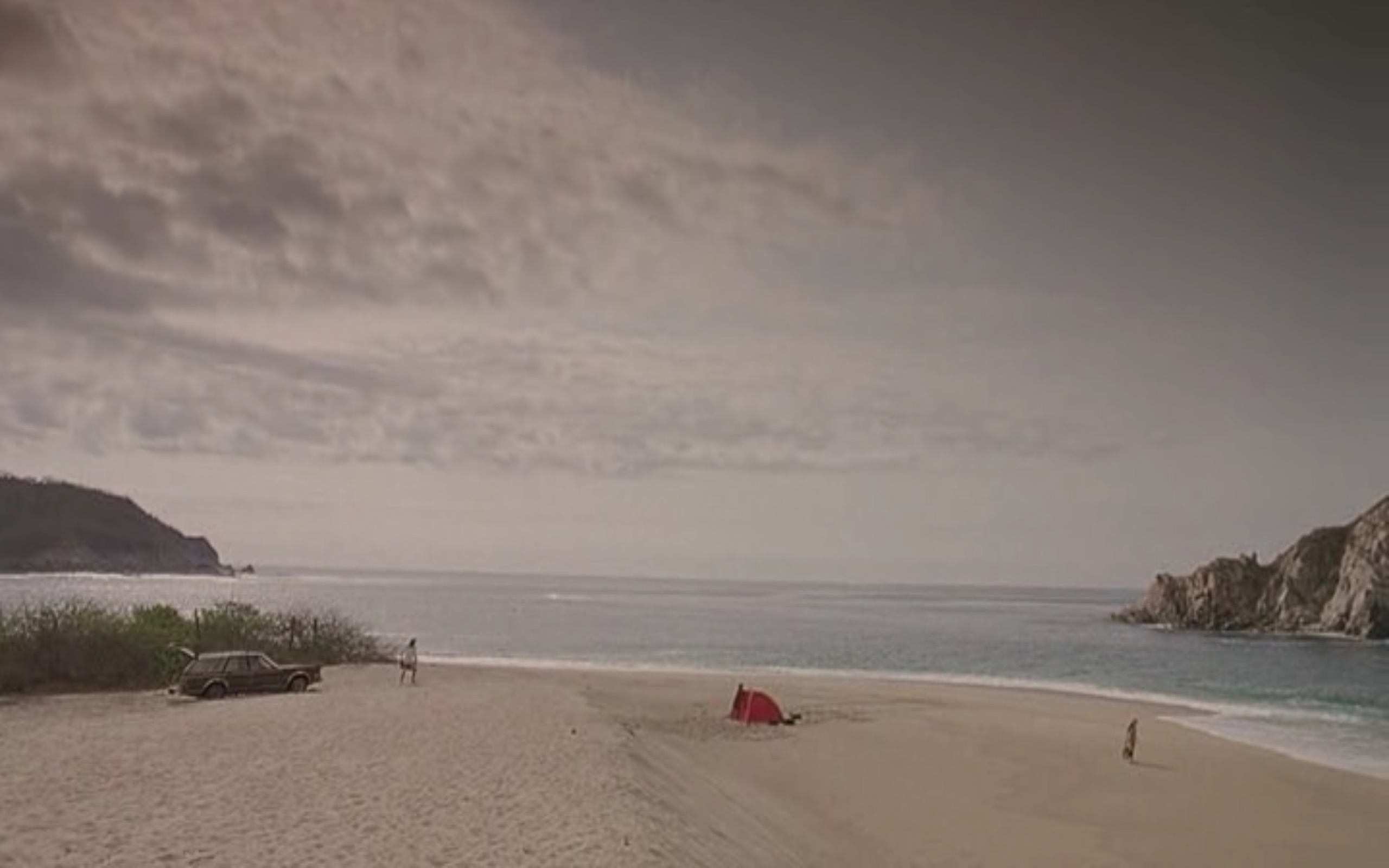
A few mooring balls and pangas lie in the shallow water off the beach but there is space to anchor further out in 4-6m and still have some protection from the swell. Dinghy ashore to Playa Panteon or head across the bay and tie up at the commercial dock or land on the beach beside it.

Facilities

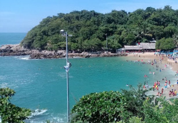
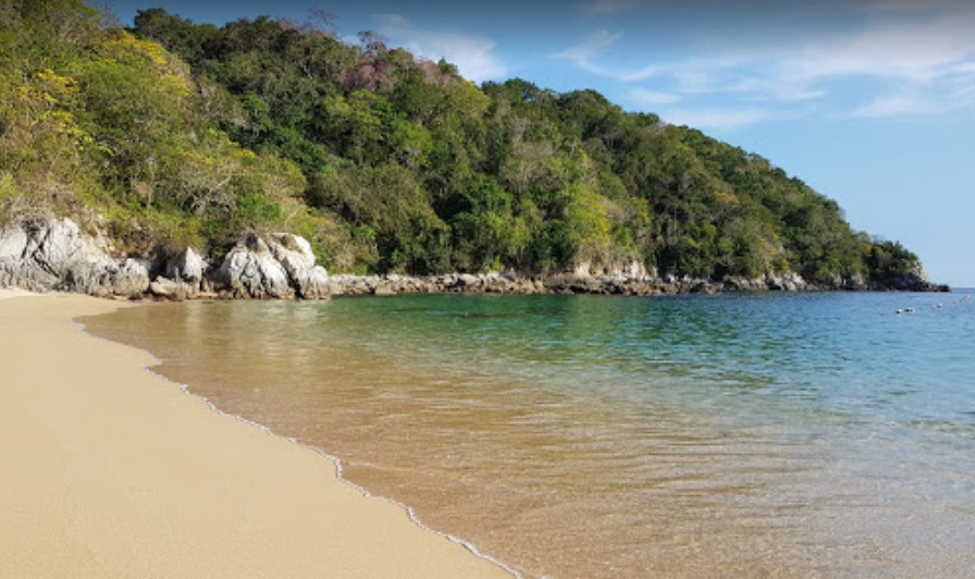
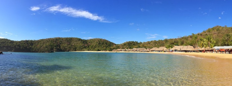
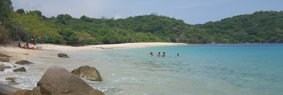
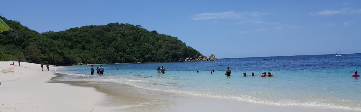
The sheltered Playa Panteon is great for swimming, snorkeling, kayaking and paddle boarding. It has a couple of hotels and restaurants.  A paved walkway curves along the rock cliffs between Playa Panteon and Playa Principal where shops, a bank, a market and more restaurants are located.

Dangers
Swell
Pangas
Fishing Vessels
Rocks
Wind Exposure
NE E SE
Swell Exposure
SE S
Amenities
Town
Hotels
Fuel via Jerrycans
Restaurants
Bank
Grocery Store
WILDFLOWER
Anchorage
Mexico - Pacific
Caleta Angeles Cove
Playa Puerto Angelito
Approach
◬ 15° 51.0989 N 97° 4.6224 W
◬ 15° 51.2884 N 97° 4.4074 W
◬ 15° 51.3800 N 97° 4.4049 W
Depth
14.0 ft
4.6 m
Bottom Composition
S - Sand
Aids to Navigation
Depth Contours
Land
Shore Access
Beach
Notes

Caleta Angeles is a small wooded cove on the northern side of Puerto Escondido. The bay is open to the south but is surrounded by steep hills and has good protection from weather from elsewhere. Swell from south and west diffracts into the bay making this a rolly anchorage. The western lobe of the bay is often filled with pangas and a rock in the centre of the bay further limits the available anchoring space. A stern anchor is strongly recommended.

Approaches

Entering this small cove stay mid-channel and watch the depth closely as the bay shallows quickly.

Anchorage

Anchor in 4.6m on sand in the centre of the bay keeping well clear of the rocky shoreline which often has breaking surf. Take the dinghy ashore to the beach on the west side of the bay which is more sheltered from the swell.

Facilities

There are several palapa restaurants around the beaches in the cove. For provisioning take a 1.5km taxi ride into Puerto Escondido which has banks, a large supermarket and plenty more restaurants.

Dangers
Swell
Pangas
Fishing Vessels
Rocks
Swimming Zone
Wind Exposure
SE S SW
Swell Exposure
SE S SW
Amenities
Town
Restaurants
Hospital
Airport
Anonymous
Anchorage
Mexico - Pacific
Playa Arena
Approach
◬ 15° 45.8998 N 96° 4.2817 W
◬ 15° 46.0980 N 96° 4.1968 W
◬ 15° 46.3112 N 96° 4.1994 W
◬ 15° 46.4549 N 96° 4.4234 W
Depth
22.0 ft
6.7 m
Bottom Composition
S - Sand
Aids to Navigation
Depth Contours
Land
Shore Access
Beach
Notes

Bahia Conejos boasts four stunning beaches and only two resorts which lie in the small coves in the southwest and northeast of the bay. The long unspoilt stretches of white sand which line the north side of the bay are backed with jungle and a river snakes around the east end of the beach.

The wide bay is open from east to southwest but some shelter from the swell can be found in the small coves at the east and west ends of the bay depending on the sea state. This is a good anchorage in mild conditions.

Approaches

Steer a wide course around Punta Arena on the west side of the bay to avoid the off-lying detached rocks and reef.

Anchorage

Anchor off the west end of Playa Arena in 6.7m on sand. A stern anchor is recommended to reduce the roll if a southerly swell is running in to the bay. In mild conditions anchor off Playa Punta Arena.

Facilities

The restaurants at the resorts are the only amenities in Bahia Conejos.

Dangers
Swell
Wind Exposure
E SE S SW
Swell Exposure
E SE S SW
Amenities
Resorts
Restaurants
Anonymous
Anchorage
Mexico - Pacific
Playa Rincon Sabroso
Approach
◬ 15° 45.4314 N 96° 5.6310 W
◬ 15° 46.0609 N 96° 5.6259 W
◬ 15° 46.1625 N 96° 5.5383 W
◬ 15° 46.3124 N 96° 5.5357 W
Depth
20.0 ft
6.7 m
Bottom Composition
S - Sand
Aids to Navigation
Depth Contours
Land
Shore Access
Beach
River
Notes

Bahia Tangolunda has crystal clear water and pristine beaches and behind the battalions of beach umbrellas lie the terracotta rooves and turquoise swimming pools of a number of top class resorts. A golf course is squeezed between the resorts and the river which runs down into the northwest corner of the bay where the public beach is located.

The anchorage in the northeast corner of Bahia Tangolunda is somewhat sheltered from southeasterly swell by Isla la Montosa and the other islets in the bay. The bay is a pleasant winter anchorage. It can be quite noisy with music and tourists on various watercraft sometimes drifting over from the beach but neither are particularly bothersome.

Approaches

Once inside the bay keep a sharp look out as you pass between Isla Campanario and the islets to the south.

Anchorage

Anchor off the beach in the northeast corner of the bay in 6.7m on sand.

Facilities

Restaurants and several ATMs can be found in the area behind the hotels.

Dangers
Swell
Rocks
Tourist Trap
Wind Exposure
SE S SW
Swell Exposure
SE S SW
Amenities
Resorts
Restaurants
ATM
Anonymous
Anchorage
Mexico - Pacific
Bahía del Orgáno
Approach
◬ 15° 43.7412 N 96° 7.9562 W
◬ 15° 43.9383 N 96° 8.6398 W
◬ 15° 44.1824 N 96° 8.6977 W
Depth
17.0 ft
5.4 m
Bottom Composition
S - Sand
Aids to Navigation
Depth Contours
Land
Shore Access
Beach
Notes

Bahia Organo is the eastern lobe of a bay shared with Bahia Maguey on the western side. Both coves are gorgeous however Bahia Organo is the one to choose to get away from the crowd. The bay is slightly better sheltered from the east and is a great anchorage in the winter months or in the summer in mild conditions.

In June 2020 the area was hit by a 7.4 earthquake and the seafloor around Huatulco was deformed and uplifted more than 0.5m in places. The charts for the area are no longer reliable and should be used with caution.

Approaches

Entrance in to Organo Bay is straight forward.

Anchorage

Anchor anywhere in the bay in 5m on sand.

Facilities

None.

Dangers
Swell
Rocks
Inaccurate Charts
Wind Exposure
SE S SW
Swell Exposure
SE S SW
Anonymous
Anchorage
Mexico - Pacific
Playa de Maguey
Approach
◬ 15° 43.5169 N 96° 8.2458 W
◬ 15° 43.7945 N 96° 8.5510 W
◬ 15° 43.9482 N 96° 9.0492 W
Depth
25.0 ft
7.7 m
Bottom Composition
S - Sand
Aids to Navigation
Depth Contours
Land
Shore Access
Beach
Notes

The road from Santa Cruz has reached Bahia Maguey and the beautiful beach is lined with houses and palapa restaurants. During the day the cove is often crowded with tour boats. The anchorage is very well protected by the wooded hills surrounding the bay and is only exposed to wind or swell from the southeastern quarter.

In June 2020 the area was hit by a 7.4 earthquake and the seafloor around Huatulco was deformed and uplifted more than 0.5m in places. The charts for the area are no longer reliable and should be used with caution.

Approaches

Entrance in to Bahia Maguey is straight forward.

Anchorage

Anchor in the centre of the bay away from the pangas in 7.7m on sand. A stern anchor or flopper stopper may be needed if the swell is from S-SE. Favour the north end of the beach for landing the dinghy if the swell is running.

Facilities

Bahia Maguey has good snorkeling and great seafood.

Dangers
Rocks
Inaccurate Charts
Wind Exposure
E SE S
Swell Exposure
SE S
Amenities
Palapas
Bars
Restaurant
Anonymous
Anchorage
Mexico - Pacific
Bahia de Cacaluta
Y Tu Mamá También
Approach
◬ 15° 42.7659 N 96° 10.1487 W
◬ 15° 43.2046 N 96° 9.8835 W
◬ 15° 43.2938 N 96° 9.8899 W
Depth
23.0 ft
7.3 m
Bottom Composition
S - Sand
Aids to Navigation
Depth Contours
Land
Shore Access
Beach
Notes

Isla Cacaluta is another jewel in the crown of gorgeous bays on the remote south coast of Oaxaca. Located 3.5NM west of Santa Cruz this deep bay is open from southeast to southwest and only suitable as a day anchorage in the summer. It is well protected from the north and is pleasant and picturesque anchorage during the winter season.

In June 2020 the area was hit by a 7.4 earthquake and the seafloor around Huatulco was deformed and uplifted more than 0.5m in places. The charts for the area are no longer reliable and should be used with caution.

Approaches

Enter this narrow cove mid-channel on the west side of Isla Cacaluta staying well clear of the rocky shoreline on either shore.

Anchorage

Anchorage can be taken on either side of Isla Cacaluta depending upon the sea state. Keep a sharp look for rocks as you anchor to the northwest of the island in 7.3m on sand, or anchor with a bit more space on the east side in 13m.

Facilities

None. Great snorkeling can be had on the reef on the north side of the island.

Dangers
Swell
Rocks
Inaccurate Charts
Wind Exposure
SE S SW
Swell Exposure
SE S SW
Amenities
Beach
Anonymous
Anchorage
Mexico - Pacific
Playa Riscalillo
Bahia Jicaral
Approach
◬ 15° 41.1633 N 96° 13.0313 W
◬ 15° 41.5587 N 96° 13.1948 W
◬ 15° 41.7508 N 96° 13.4871 W
Depth
14.0 ft
4.4 m
Bottom Composition
S - Sand
Aids to Navigation
Depth Contours
Land
Shore Access
Beach
Notes

Located within the Huatulco National Park and isolated from any road access Bahia Riscalillo is a wonderfully remote, unspoilt cove located just 1.5NM from Bahia San Agustin. This tiny bay is well protected from most wind and swell except through the narrow entrance  which is open to the southeast. Inside the cove is quite shallow but there is space for one or two boats to swing peacefully on anchor.

In June 2020 the area was hit by a 7.4 earthquake and the seafloor around Huatulco was deformed and uplifted more than 0.5m in places. The charts for the area are no longer reliable and should be used with caution. 

Approaches

If approaching from the west steer well clear of Isla Blanca and the other rocky islets lying 0.2NM off the western headland of the bay. Enter the bay mid-channel keeping a good lookout for detached rocks.

Anchorage

Anchor in the centre of the cove in 4.4m on sand. Dinghy or swim ashore to the pristine beach.

Facilities

None.

Dangers
Rocks
Inaccurate Charts
Wind Exposure
SE S
Swell Exposure
SE S
Anonymous