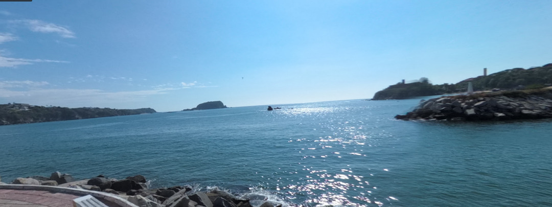
Reef - anchor right behind it
Mexico - Pacific
DANGER
Reef
Reef - anchor right behind it & use stern anchor
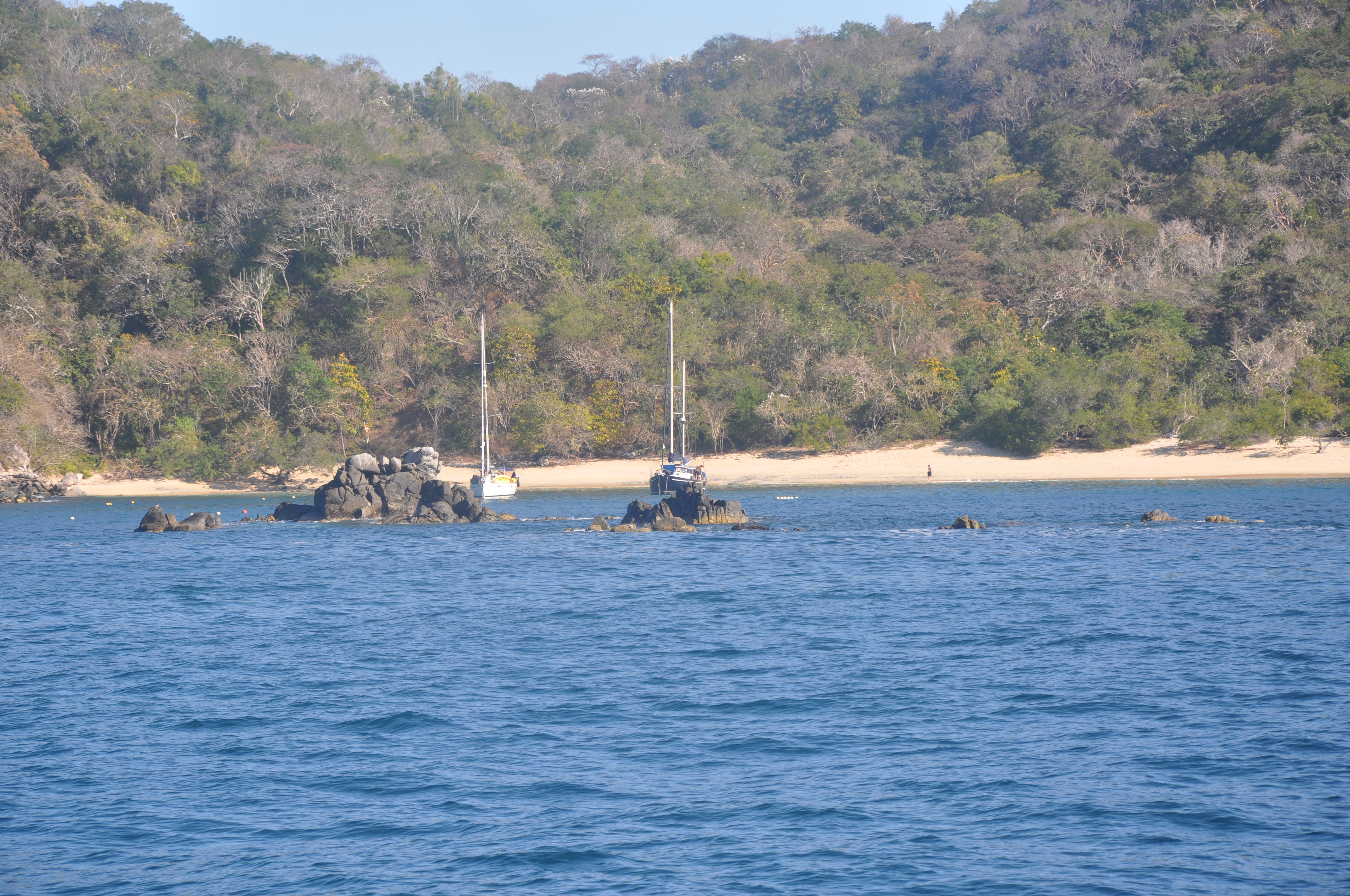
- Read more about Reef - anchor right behind it
- Log in or register to post comments
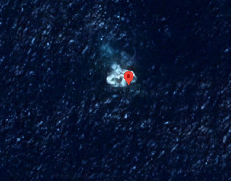
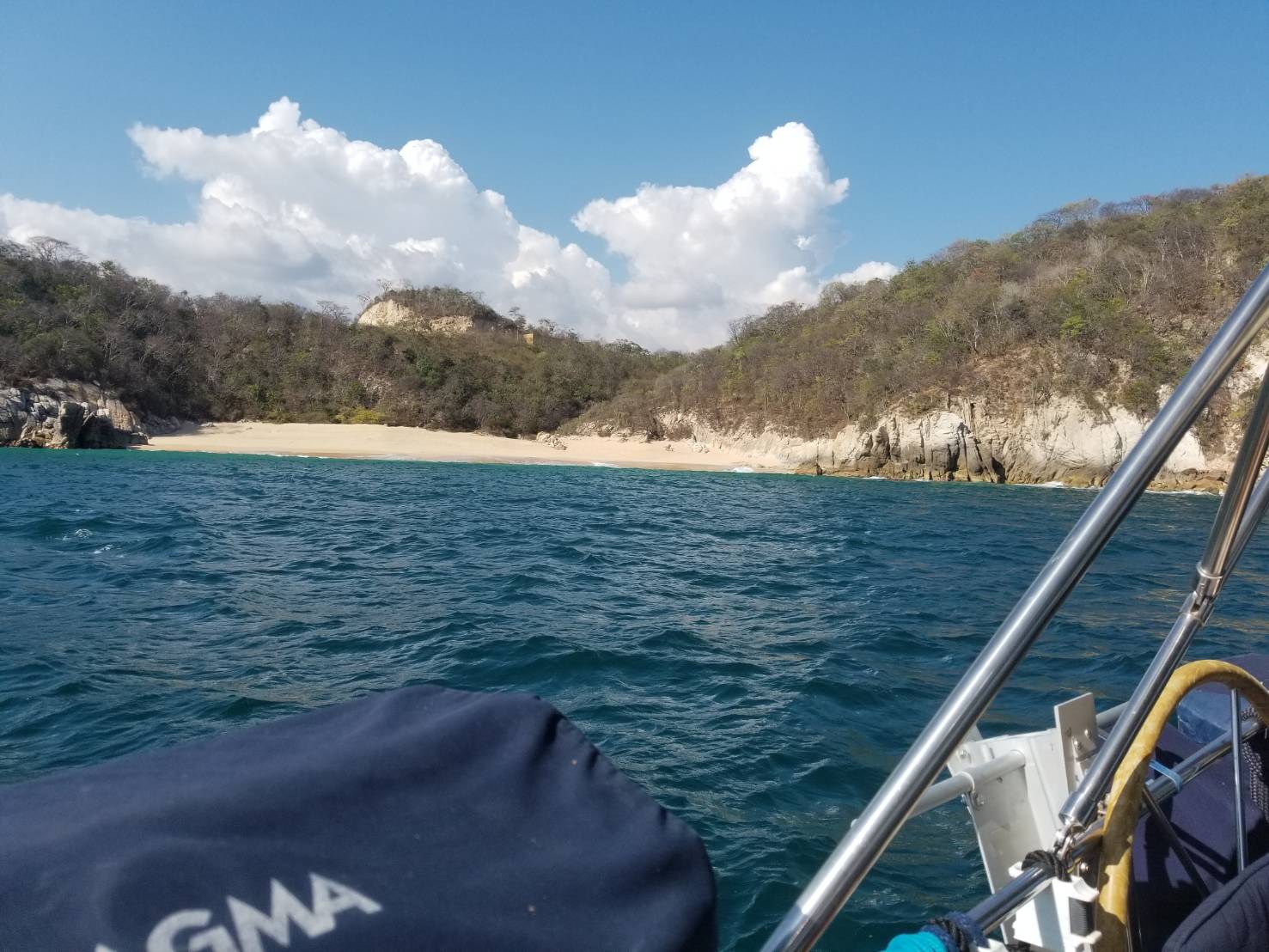
Rocks
Mexico - Pacific
DANGER
Rocks
Rock Awash
Wreck
- Read more about Rocks
- Log in or register to post comments
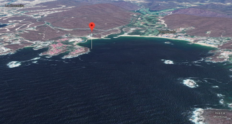
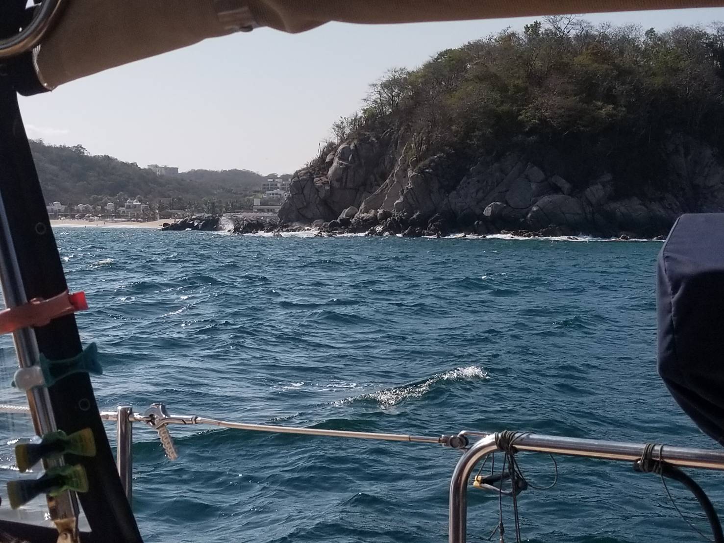
ROCKS
Mexico - Pacific
DANGER
Rocks
Rock Awash
Rock which Covers and Uncovers
- Read more about ROCKS
- Log in or register to post comments
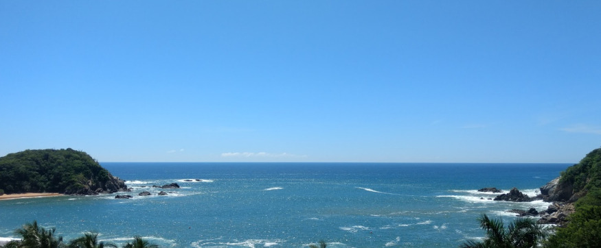
ROCKS
Mexico - Pacific
DANGER
Rocks
Rock Awash
Rock which Covers and Uncovers
Mischarted rocks we had them only 10 feet from us be careful !
- Read more about ROCKS
- Log in or register to post comments
Dinghy Theft
Mexico - Pacific
DANGER
Thievery
Dinghy Theft Area
- Read more about Dinghy Theft
- Log in or register to post comments

Oaxaca
17° 3.8476 N 96° 43.2537 W
Enjoying Oaxaca City capital of Oaxaca Mexico.


- Read more about Oaxaca
- Log in or register to post comments