Mision de Santo Tomas
31° 33.0371 N 116° 24.7903 W
ruins of an old spanish mission - Santo Tomas de Aquino, established on April 24, 1791 by Father Jose Loriente, the photos show us the Miss


- Read more about Mision de Santo Tomas
- Log in or register to post comments
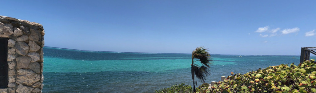
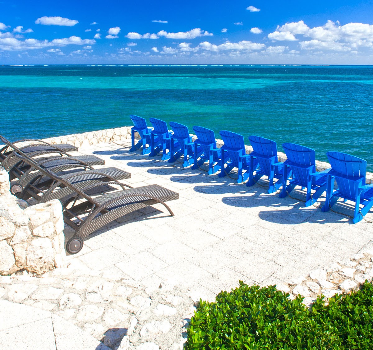
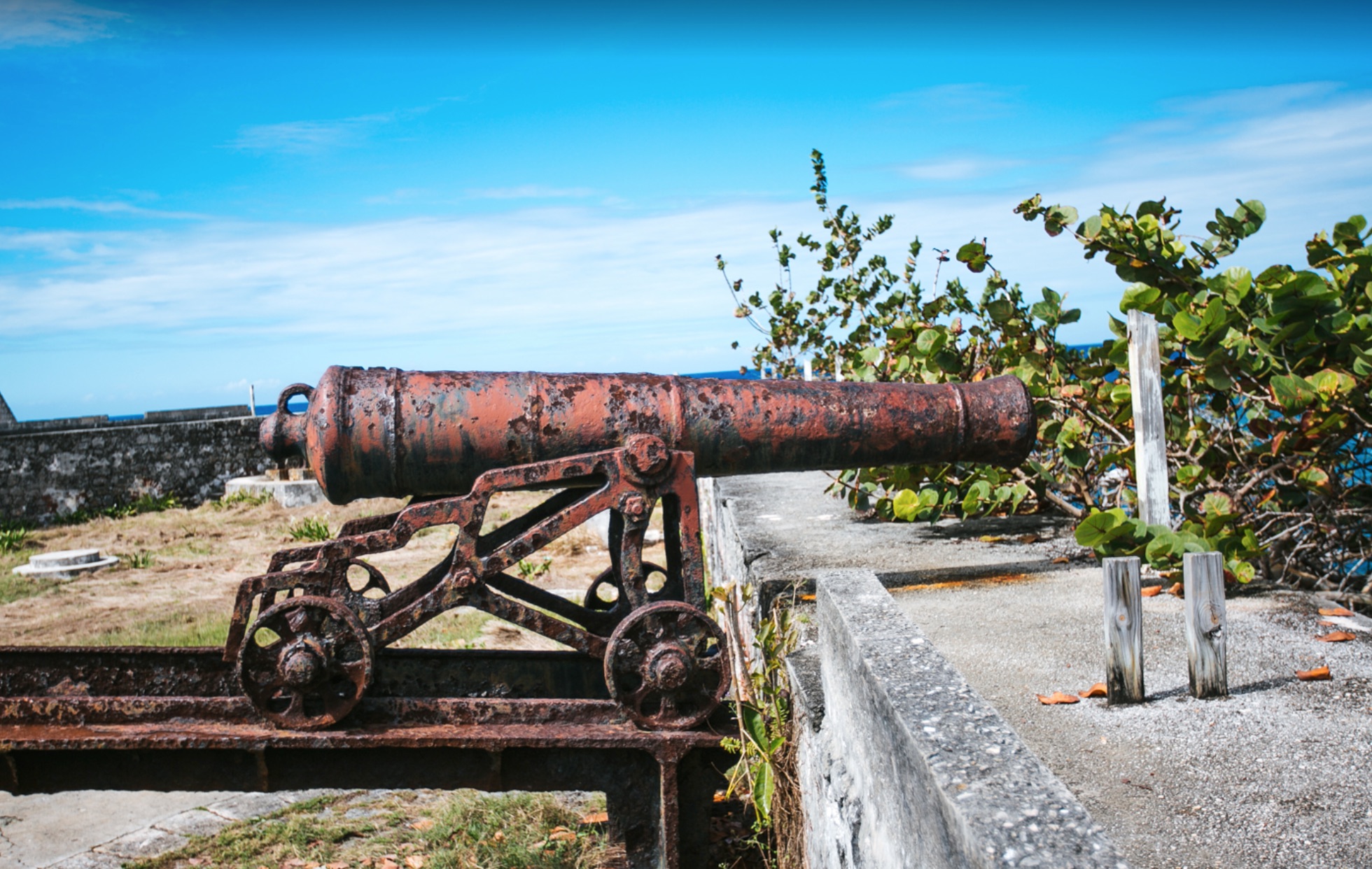
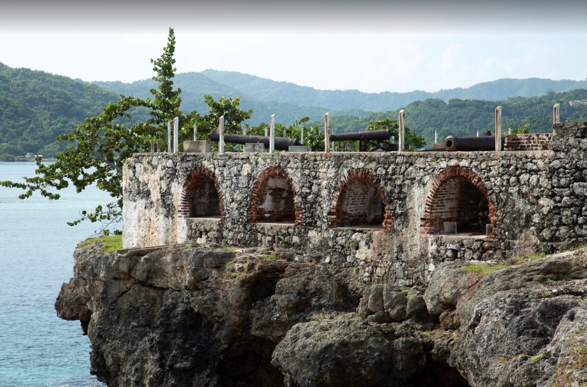
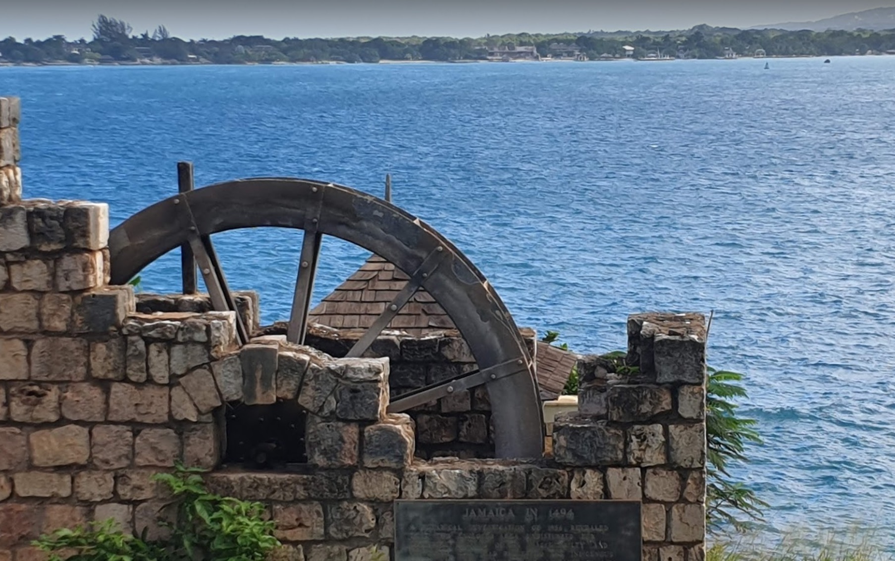
Fort Charles
17° 56.0990 N 76° 50.5524 W
Port Royal – “the wickedest city on earth”
Sailing into the clear blue waters of Jamaica’s Kingston Harbour, Port Royal comes immediately into view


- Read more about Fort Charles
- Log in or register to post comments

Capela dos Ossos
38° 34.1050 N 7° 54.5231 W
The Capela dos Ossos was built in the 16th century by a Franciscan friar who, in the Counter-Reformation spirit of that era, wanted to prod his fellow brothe


- Read more about Capela dos Ossos
- Log in or register to post comments
MS World Discoverer
9° 1.3877 S 160° 7.3870 E
On Sunday April 30, 2000, at 4 p.m. local time (0500 GMT), the ship struck a large uncharted rock or reef in the Sandfly Passage.


- Read more about MS World Discoverer
- Log in or register to post comments
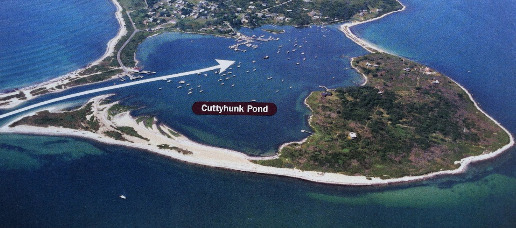
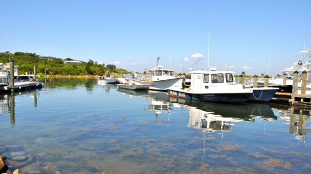
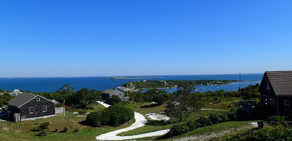

Cuttyhunk Pond - Moorings
Mooring 41° 25.6020 N 70° 55.5018 W


For me the best option is to always stop in Cuttyhunk when I can. Even if it adds a day or two to my trip.
- Read more about Cuttyhunk Pond - Moorings
- Log in or register to post comments