
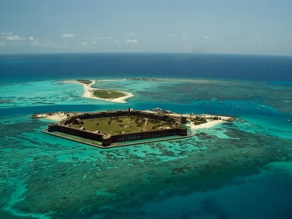
Fort Jefferson
The Spanish explorer Juan Ponce de León discovered the islands in 1513 and named them for the tortoises (Spanish tortugas) that abounded there.
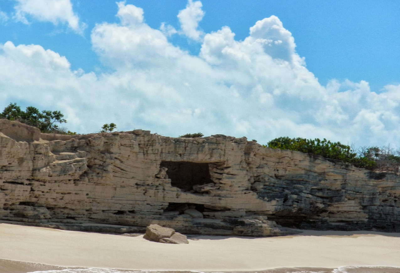
it lies about 60 nm due west of Key West
Five years after Spain sold Florida to the United States for $5 million with the Florida Treaty said treaty remained in full effect for only 183 days:
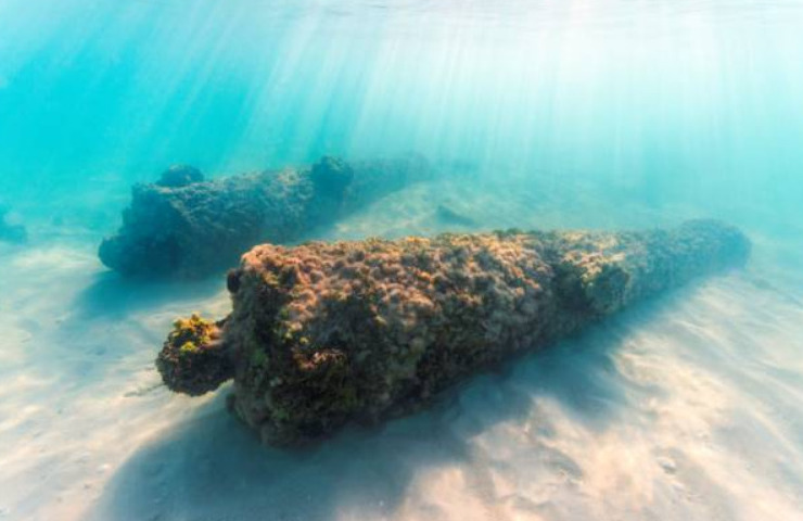
, U.S. Navy Commodore David Porter inspected the Dry Tortugas islands. He was on the lookout for a site for a naval station that would help suppress piracy in the Caribbean.

Castle of San Lorenzo at Port Chagres
9° 19.3506 N 80° 0.1239 W
Castle of San Lorenzo at Port Chagres, Panama


- Read more about Castle of San Lorenzo at Port Chagres
- Log in or register to post comments
Castle of San Felipe de Lara
15° 38.2273 N 88° 59.6377 W
Castle of San Felipe de Lara


- Read more about Castle of San Felipe de Lara
- Log in or register to post comments
Las Lajas Sanctuary
0° 48.3283 N 77° 35.1520 W
The National Shrine Basilica of Our Lady of Las Lajas (Spanish: Basílica Santuario Nacional de Nuestra Señora de las Lajas), commonly called Las Lajas Shrine


- Read more about Las Lajas Sanctuary
- Log in or register to post comments
Zipaquira Salt Cathedral
5° 1.1257 N 74° 0.6138 W
The Salt Cathedral of Zipaquirá (Spanish: Catedral de Sal de Zipaquirá) is an underground Roman Catholic church built within the tunnels of a salt mine 200 m


- Read more about Zipaquira Salt Cathedral
- Log in or register to post comments
Castillo San Felipe de Barajas
10° 25.3265 N 75° 32.3310 W
The Castillo San Felipe de Barajas (San Felipe de Barajas Castle) is a fortress in the city of Cartagena, Colombia.

- Read more about Castillo San Felipe de Barajas
- Log in or register to post comments