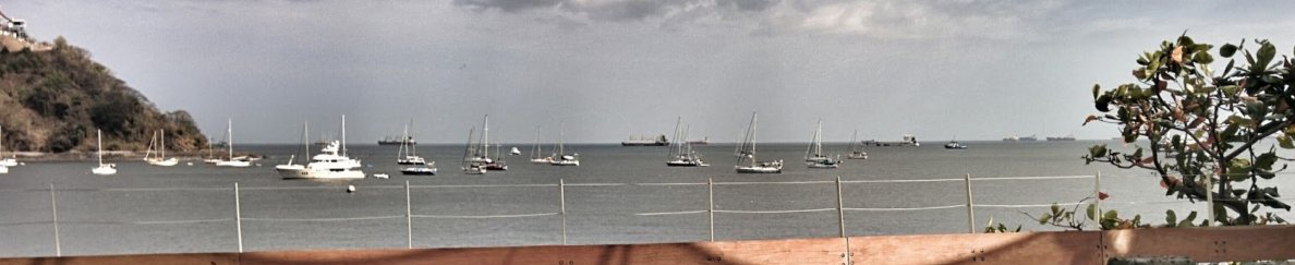
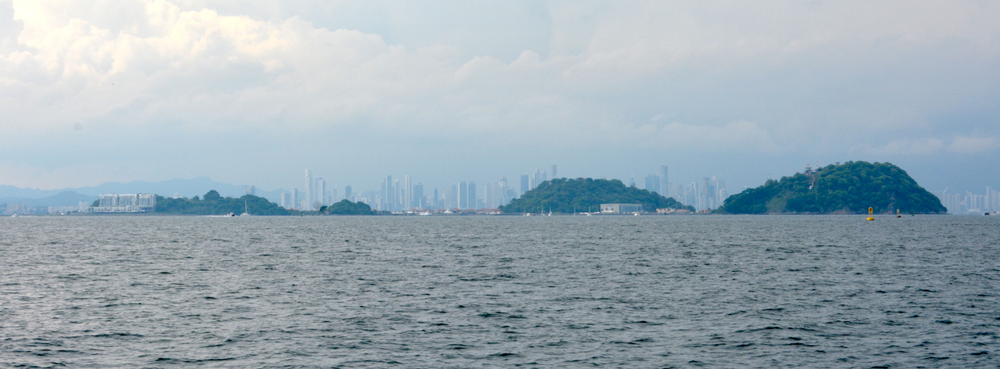
Anchorage
Pitcairn
Depth
25.0 ft
7.6 m
Bottom Composition
Bo - Boulder(s)
Co - Coral
Aids to Navigation
Depth Contours
Land
Dangers
Swell
Wind Exposure
S SW W
Swell Exposure
SE S SW W
Amenities
Historic Site
dietmar
Anchorage
Turkey
Cleopatra's Island
Depth
11.0 ft
3.5 m
Bottom Composition
S - Sand
Aids to Navigation
Depth Contours
Land
Shore Access
Dock
Beach
Dangers
Crowded on Weekends
Rocks
Wind Exposure
NE E
Swell Exposure
NE
Amenities
Historic Site
dietmar
Anchorage
USA - Mississippi
West Ship Island
Depth
9.0 ft
2.7 m
Bottom Composition
S - Sand
Aids to Navigation
Depth Contours
Land
Shore Access
Dock
Beach
Notes

Having the only deep-water harbor between Mobile Bay and the Mississippi River, the island served as a vital anchorage for ships bearing explorers, colonists, sailors, soldiers, defenders and invaders. The French, Spanish, British, Confederate and Union flags have all flown over Ship Island.French explorer Pierre Le Moyne d'Iberville charted Ship Island on 10 February 1699, which he used as a base of operations in discovering the mouth of the Mississippi River. The island served as a point of immigration to French colonies in the New World.

Dangers
Ferry Traffic
Wind Exposure
N NE NW
Swell Exposure
N NE NW
Amenities
Historic Site
dietmar
Anchorage
Turkey
Depth
32.8 ft
10.0 m
Bottom Composition
S - Sand
Aids to Navigation
Depth Contours
Land
Shore Access
Beach
Dock
Seawall
Wind Exposure
E
Swell Exposure
E
Amenities
Historic Site
Restaurant
Customs Post
dietmar
Anchorage
Panama
Approach
◬ 7° 37.6294 N 80° 0.2224 W
Depth
12.0 ft
3.6 m
Bottom Composition
S - Sand
Co - Coral
Aids to Navigation
Lighthouse
Shore Access
Beach
Notes

Do not enter in the center of the bay there is a big and very shallow reef !

Anchor on the south-western ledge - lot's of birds here and daytime snorkel tours

Dangers
Steep Drop-off
Reef
Birds
Wind Exposure
SW W NW
Swell Exposure
SW W NW
Amenities
Historic Site
Bird Sanctuary
Date & Time Visited
2018-05-03T11:11:11
dietmar
Anchorage
Panama
Isla Flamenco - SW
Depth
15.0 ft
4.7 m
Bottom Composition
S - Sand
Aids to Navigation
Depth Contours
Land
Channel Marks
Lighthouse
Shore Access
Beach
Marina
Dangers
Ferry Traffic
shipping traffic
Crowded
Noise
Wind Exposure
S SW W
Swell Exposure
S SW
Amenities
City
Panama Canal
Historic Site
Date & Time Visited
2018-03-12T09:09:09
dietmar