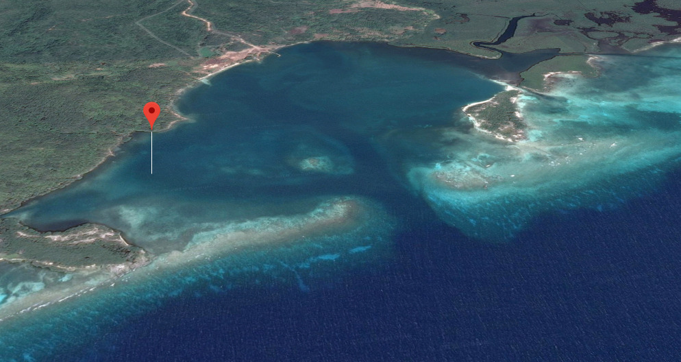
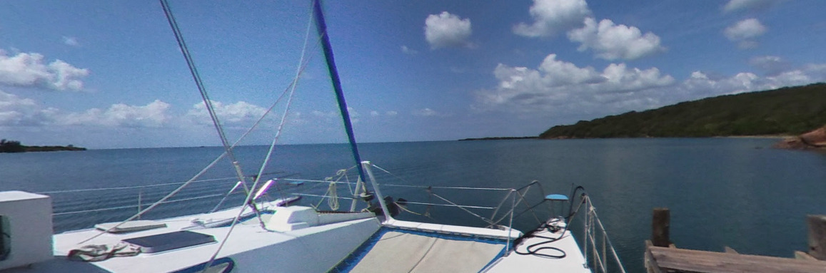
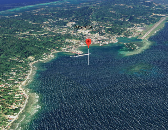
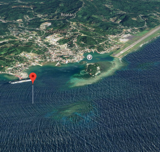
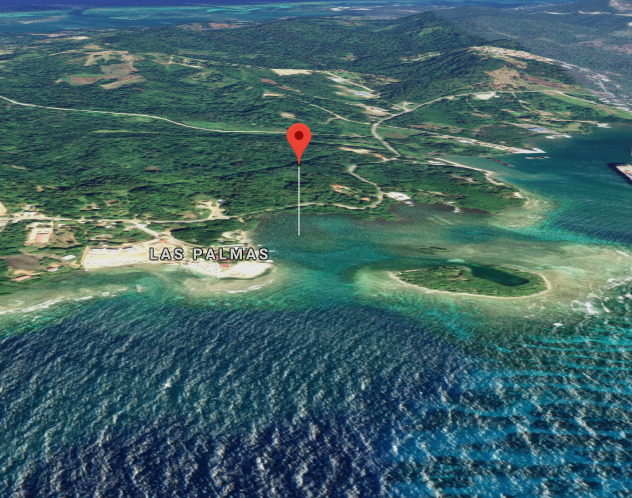
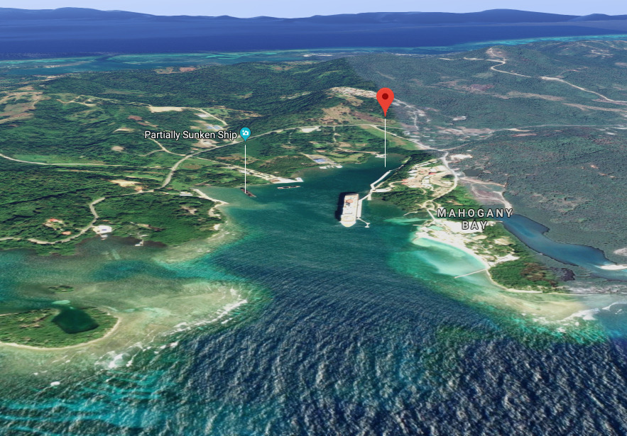
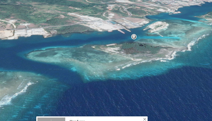
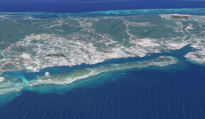
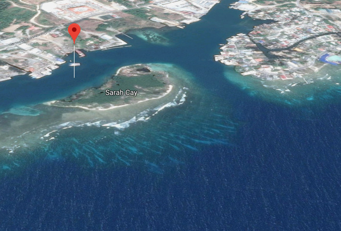
Anchorage
Honduras
Allens Point - N
Approach
◬ 16° 24.3457 N 86° 15.9661 W
◬ 16° 24.6022 N 86° 16.0127 W
◬ 16° 24.6376 N 86° 16.0721 W
◬ 16° 24.6491 N 86° 16.2327 W
Depth
17.0 ft
5.1 m
Bottom Composition
S - Sand
Aids to Navigation
Depth Contours
Land
Shore Access
Beach
Dangers
Shoaling
Rocks
Reef
Wind Exposure
E SE S
dietmar
Anchorage
Honduras
Port of Roatan
Barrio la Loma
Approach
◬ 16° 18.0936 N 86° 33.0809 W
◬ 16° 18.5418 N 86° 32.7865 W
Depth
13.0 ft
3.9 m
Bottom Composition
S - Sand
M - Mud
Aids to Navigation
Depth Contours
Land
Lighthouse
Shore Access
Beach
Dock
Commercial Dock
Dangers
Commercial Port
Cruise Ships
Wind Exposure
SW
Swell Exposure
SW
Amenities
Harbormaster
Customs Post
Immigration
Harbor Police
Historic Site
Supermarket
Restaurant
Shipyard
Port of Entry
dietmar
Anchorage
Honduras
Coxen Hole
Approach
◬ 16° 18.4542 N 86° 32.7412 W
◬ 16° 18.7388 N 86° 32.3771 W
◬ 16° 18.8022 N 86° 32.2526 W
◬ 16° 18.8341 N 86° 32.0957 W
Depth
13.0 ft
3.9 m
Bottom Composition
S - Sand
M - Mud
Aids to Navigation
Depth Contours
Land
Shore Access
Dock
Notes

8 foot path through

Dangers
Busy Port
Wind Exposure
SE S SW
Amenities
Shipyard
Airport
Downtown
dietmar
Anchorage
Honduras
Approach
◬ 16° 18.7807 N 86° 30.5631 W
◬ 16° 19.1808 N 86° 30.3655 W
Depth
12.0 ft
3.6 m
Bottom Composition
S - Sand
M - Mud
Aids to Navigation
Depth Contours
Land
Shore Access
Beach
Private Docks
Notes

Tobri Divers +504 9844-5488 http://ecologicadventures.com/

Wind Exposure
S
Swell Exposure
S
Amenities
Dive Shop
dietmar
Anchorage
Honduras
Mohagony Bay
Approach
◬ 16° 19.6203 N 86° 29.9439 W
◬ 16° 19.3708 N 86° 29.9742 W
◬ 16° 18.9295 N 86° 29.9242 W
Depth
12.0 ft
3.6 m
Bottom Composition
S - Sand
M - Mud
Aids to Navigation
Depth Contours
Land
Shore Access
Beach
Dangers
Commercial Port
Shipwreck
shipping traffic
Wind Exposure
S SW
Swell Exposure
S SW
Amenities
Ferry
Commercial Dock
Shipwreck
dietmar
Anchorage
Honduras
Approach
◬ 16° 19.8619 N 86° 28.7227 W
◬ 16° 19.9249 N 86° 28.7890 W
◬ 16° 20.0513 N 86° 28.9555 W
◬ 16° 20.1317 N 86° 28.9213 W
◬ 16° 20.1571 N 86° 28.7290 W
Depth
14.0 ft
3.9 m
Bottom Composition
S - Sand
M - Mud
Aids to Navigation
Depth Contours
Land
Shore Access
Beach
Reef
Private Docks
Wind Exposure
E W
dietmar
Anchorage
Honduras
Depth
15.0 ft
4.5 m
Bottom Composition
S - Sand
M - Mud
Aids to Navigation
Depth Contours
Land
Shore Access
Beach
Dock
Notes

Tuck in as far as you can for super calm conditions

Wind Exposure
NE
Amenities
Commercial Dock
dietmar
Anchorage
Honduras
Shipyard
Approach
◬ 16° 20.7220 N 86° 27.5471 W
◬ 16° 20.8337 N 86° 27.6307 W
◬ 16° 20.9234 N 86° 27.6880 W
◬ 16° 20.9110 N 86° 27.7892 W
◬ 16° 20.8376 N 86° 27.8333 W
Depth
11.0 ft
3.3 m
Bottom Composition
S - Sand
M - Mud
Aids to Navigation
Depth Contours
Land
Shore Access
Beach
Dock
Wind Exposure
NE SW
Amenities
Shipyard
dietmar