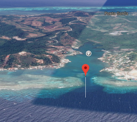
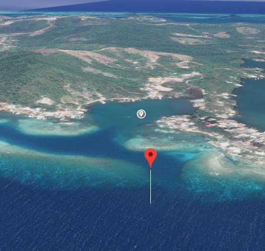
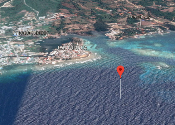
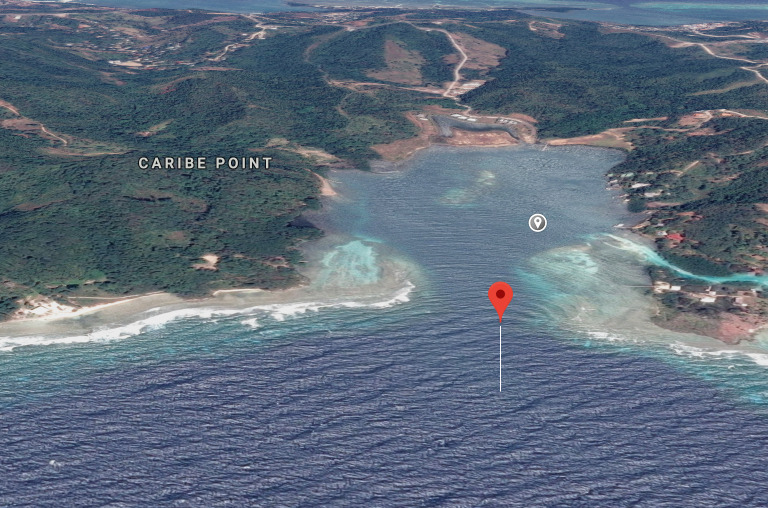
Anchorage
Honduras
Sarah Cay
Approach
◬ 16° 20.6845 N 86° 27.5072 W
◬ 16° 20.8058 N 86° 27.6155 W
◬ 16° 20.9450 N 86° 27.6682 W
Depth
12.0 ft
3.6 m
Bottom Composition
S - Sand
M - Mud
Aids to Navigation
Depth Contours
Land
Shore Access
Beach
Dock
Dangers
Busy Port
Wind Exposure
SW
Amenities
Coast Guard
Haulout
Port
Restaurant
Historic Site
dietmar
Anchorage
Honduras
Old French Harbour
Approach
◬ 16° 21.2648 N 86° 27.2120 W
◬ 16° 21.2559 N 86° 27.1414 W
◬ 16° 21.1840 N 86° 27.0667 W
◬ 16° 21.0664 N 86° 26.9540 W
◬ 16° 20.9959 N 86° 26.9376 W
◬ 16° 20.7817 N 86° 27.0068 W
Depth
7.0 ft
2.1 m
Bottom Composition
S - Sand
M - Mud
Aids to Navigation
Depth Contours
Land
Shore Access
Beach
Private Docks
Dangers
Bay Shallows
Wind Exposure
E
Amenities
Restaurant
dietmar
Anchorage
Honduras
Parrot Tree Plantation and Beach Resort
Approach
◬ 16° 21.8161 N 86° 24.5585 W
◬ 16° 21.8709 N 86° 24.6069 W
◬ 16° 21.9232 N 86° 24.6359 W
◬ 16° 22.0507 N 86° 24.6736 W
Depth
10.0 ft
3.0 m
Bottom Composition
S - Sand
M - Mud
Aids to Navigation
Depth Contours
Land
Shore Access
Beach
Dangers
Narrow Path
6 Foot Bar over reef
Wind Exposure
SE S
Swell Exposure
S
Amenities
Town Dock
dietmar
Anchorage
Honduras
Approach
◬ 16° 22.8638 N 86° 22.4027 W
Depth
8.0 ft
2.4 m
Bottom Composition
S - Sand
Aids to Navigation
Depth Contours
Land
Shore Access
Beach
Dock
Marina
Wind Exposure
SE
Amenities
Grocery Store
dietmar
Anchorage
Honduras
Approach
◬ 16° 21.9505 N 86° 23.9056 W
◬ 16° 22.0869 N 86° 23.9171 W
◬ 16° 22.1937 N 86° 23.9555 W
Depth
8.0 ft
2.4 m
Bottom Composition
S - Sand
M - Mud
Aids to Navigation
Depth Contours
Land
Shore Access
Beach
Private Docks
Notes

DO NOT anchor further west than the of the shrimp boat dock
(old cruising guide reference needs to be checked)
NAVY BASE

Dangers
Dogleg
Military or Navy Facility
Naval / Military Port
Wind Exposure
E
dietmar
Anchorage
Honduras
Approach
◬ 16° 22.5265 N 86° 22.9216 W
Depth
14.0 ft
4.2 m
Bottom Composition
S - Sand
Aids to Navigation
Depth Contours
Land
Shore Access
Beach
Dock
Dangers
Reef
Wind Exposure
SE S
Swell Exposure
S
dietmar
Anchorage
Honduras
Bodden Bight
Approach
◬ 16° 23.0206 N 86° 21.8467 W
Depth
12.0 ft
3.6 m
Bottom Composition
S - Sand
M - Mud
Aids to Navigation
Depth Contours
Land
Shore Access
Dock
Wind Exposure
S
Swell Exposure
S
dietmar
Anchorage
Honduras
Approach
◬ 16° 23.2447 N 86° 21.1175 W
Depth
9.0 ft
2.7 m
Bottom Composition
S - Sand
M - Mud
Aids to Navigation
Depth Contours
Land
Shore Access
Dock
Notes

Narrow path favor port when entering

Dangers
Narrow Path
Amenities
Supermarket
dietmar
Anchorage
Honduras
Approach
◬ 16° 23.3567 N 86° 20.3434 W
Depth
15.0 ft
4.5 m
Bottom Composition
S - Sand
Aids to Navigation
Depth Contours
Land
Shore Access
Beach
Private Docks
Dock
Dangers
Reef
Wind Exposure
SE S SW
Swell Exposure
S
dietmar