Anchorage
Costa Rica
Depth
12.0 ft
Bottom Composition
S - Sand
M - Mud
Aids to Navigation
Depth Contours
Land
Shore Access
Beach
Dock
Notes

The jungle covered island of Isla Muertos lies just south of Punta Gigante on the east coast of the Nicoya Peninsula. Swell rarely wraps around to the western side of the island and the southern anchorage is protected from all but a southerly wind. The remains of the Fantasy Island Yacht Club are located on the western point of the island between the two anchorages.

Approaches

No info

Anchorage

Anchor on the west side of the hook at the southern end of the island in 3.8m on muddy sand. There are several small deserted beaches dotted around the island for exploring by dinghy and a spot of beach combing.

Facilities

None


Dangers
Tidal Range
Wind Exposure
S SW
Amenities
Historic Site
Anonymous
Anchorage
Costa Rica
Depth
15.0 ft
4.7 m
Bottom Composition
S - Sand
Aids to Navigation
Depth Contours
Land
Shore Access
Beach
Notes

The anchorage lies off the southwestern tip of Isla Cedros between Isla Jesusita and the mainland. Aquaculture is being developed in the area and there are several fish pens in the bay.

Approaches

Power lines between the mainland and Isla Cedros, and Isla Cedros and Isla Jesusita restrict entrance to this anchorage from the east.

Anchorage

The centre of the inlet is deep but anchorage can be taken close to the shore of any of the islands. Do not anchor near the water pipeline which runs from the bay marked “Pulperia” in Navionics on the mainland to the SW end of Isla Cedros.

Facilities

There is a glamping hotel at the west end of Isla Jesusita.

Dangers
Tidal Range
Overhead Limits
Rocks
Underwater Rocks
Ferry Traffic
Wind Exposure
SW W NW
Amenities
Resort
Campground
Anonymous
Anchorage
Costa Rica
Isla Gitana
Depth
10.0 ft
3.3 m
Bottom Composition
S - Sand
M - Mud
Aids to Navigation
Depth Contours
Land
Shore Access
Beach
Notes

Isla Muertos lies 3.5NM northwest of Isla Cedros. The anchorage on the western side of the island is sheltered from the swell and Punta Gigante offers some protection from the prevailing northerly wind. The high voltage cable which extends from the NW corner of the island to the mainland has 15m (50’) clearance. Passage underneath should be made with extreme caution.

The island is uninhabited; it was once a burial site for indigenous people and fear of the spirits keeps settlers away. There is a wreck off the western point between the north and south anchorages which is partially emergent at low tide.

Approaches

Approach the anchorage from the south to avoid the power lines at the northern end of the island.


Anchorage

For the northern anchorage favour the southern side of the bay as a wide reef fills the top half of the cove. Anchor in 3.3m on a sand and muddy bottom with good holding.

Facilities

None.

Dangers
Tidal Range
Wind Exposure
N S SW NW
Anonymous
Anchorage
Costa Rica
Depth
10.0 ft
3.0 m
Bottom Composition
S - Sand
Aids to Navigation
Depth Contours
Land
Shore Access
Beach
Notes

Isla Patricia lies just south of Isla Muertos and the anchorage on the southern side of the island is protected from northerly wind but may has some exposure to swell from the south.

Approaches

No info

Anchorage

Anchor on the southern side close to the gap between the islands in 3m on sand.

Facilities

None

Dangers
Tidal Range
Wind Exposure
SE S SW
Swell Exposure
SE
Anonymous
Anchorage
Costa Rica
Approach
◬ 9° 51.1392 N 84° 53.1325 W
◬ 9° 50.8880 N 84° 53.1454 W
◬ 9° 50.7574 N 84° 53.0965 W
◬ 9° 50.5975 N 84° 53.0656 W
◬ 9° 50.5367 N 84° 53.0270 W
Depth
10.0 ft
3.3 m
Bottom Composition
S - Sand
M - Mud
Aids to Navigation
Depth Contours
Land
Shore Access
Beach
Notes

This mangrove lined channel between Isla Cedros and Isla Jesusita is well protected from the southerly swell but can be exposed to weather from the north. The tranquility of the bay may occasionally be disturbed by the caretakers generator or a troop of howler monkeys in the trees.

Approaches

A power line between the mainland and the SW tip of Isla Cedros hangs at approximately 44’at MHW. A second power lines runs between Isla Cedros and Isla Jesusita at a height of approximately 80’ near the shore of Jesusita. Use extreme caution passing under it, staying close to the shoreline of Isla Jesusita in depths of 4-5m.

Anchorage

Despite its location in the channel between Isla Cedros and Isla Jesuita, currents through the anchorage are mild. Anchor anywhere on sand or mud but steer clear of the fish traps. The bay is lined with mangroves with no obvious spot for shore access.

Facilities

None

Dangers
Tidal Range
Underwater Rocks
Logs
Wind Exposure
N W NW
Swell Exposure
N
Amenities
Park or Nature Preserve
Date & Time Visited
2018-03-16T12:22:12
Anonymous
Anchorage
Costa Rica
Reserva Biológica Guayabo
Playa Langosta
Approach
◬ 9° 50.7932 N 84° 52.0428 W
◬ 9° 50.6991 N 84° 51.5657 W
Depth
13.0 ft
4.4 m
Bottom Composition
S - Sand
Aids to Navigation
Depth Contours
Land
Shore Access
Beach
Notes

Isla Cedros lies 3NM east of the small town of Paquera on the Nicoya Peninsula. Strong tidal streams flow in and out of Golfo de Nicoya and cruising amongst the islands needs to be planned with the tide tables close at hand. Approaching Isla Cedros from the south it is necessary to pass Islas Negritos which juts out into gulf like a bony finger. Currents up to 5kt flow through Islas Negritos creating turbulent water between the islands and around the point.

Approaches

Deep channels allow passage between the Islas Negritos and the mainland and between the two islands. The channels are narrow and rocky creating strong currents, whirlpools and eddies. The flood flows north and the ebb flows south but it is wise to plan passage through at slack water for a more controlled and stress-free experience.

A power line hangs between the mainland and the SW tip of Isla Cedros. The approximate height of the line is 13.5m (44’) at MHW and extreme caution should be used if attempting to pass under it from Paquera or Isla Jesusita.

Anchoring

Playa Langosta is located oon the eastern side of Isla Cedros and anchorage can be taken anywhere in the bay. Anchor in 4.4m on sand on the western side north of the small islet, or tuck in closer to the north shore for more shelter from the northerlies. Dinghy ashore to the beach or around to explore several small beaches on the north side of the island.

Facilities

There is a campsite at Playa Langosta which has free wifi.

Dangers
Rocks
Reef
Wind Exposure
NE E SE
Swell Exposure
NE E SE
Amenities
Park or Nature Preserve
Anonymous
Anchorage
Costa Rica
Isla Tortugas
Tolinga
Depth
15.0 ft
4.6 m
Bottom Composition
S - Sand
Co - Coral
Aids to Navigation
Depth Contours
Land
Shore Access
Beach
Notes

The twin islands of Islas Tortugas are located 11NM northeast of Bahia Ballenas. The islands are supposed to be the prettiest islands in Costa Rica and each day boat loads of tourists from the mainland come to check them out. They tick all the boxes; white sand beach, azure gently lapping water, rainforest backdrop, jet skis and banana boats then depart in the late afternoon leaving you alone in the bay to enjoy a peaceful sunset.

The anchorage on the north side of the easatern island is sheltered from the swell but exposed to the northerly wind.

Approaches

Pass Isla Tortuga to the north or south but as you approach the anchorage watch out for the reefs which extend from the east side of each of the islands.

Anchorage

Anchor off the beach on the north side of Isla Tolinga (the eastern island) in 4.6m on a corally sand bottom. Dinghy ashore to the beach and find a place to relax amongst the deck chairs and umbrellas.

Facilities

None.

Dangers
Reef
Strong Current
Tour Boats
Rocks
Squalls
Wind Exposure
N NE
Swell Exposure
NE E
Amenities
Beachclub
editor
Anchorage
Costa Rica
Playa Tambor
Depth
8.0 ft
2.3 m
Bottom Composition
S - Sand
M - Mud
Aids to Navigation
Depth Contours
Land
Shore Access
Beach
Commercial Dock
Notes

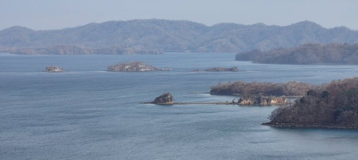
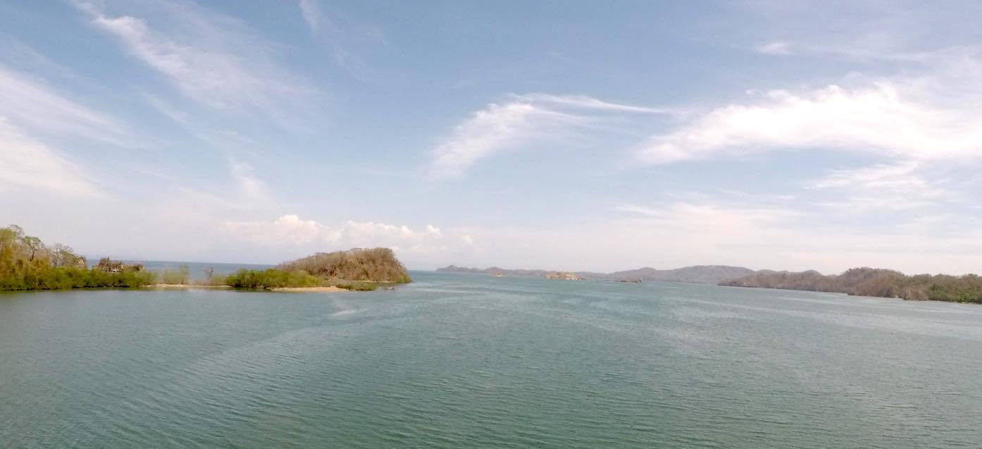
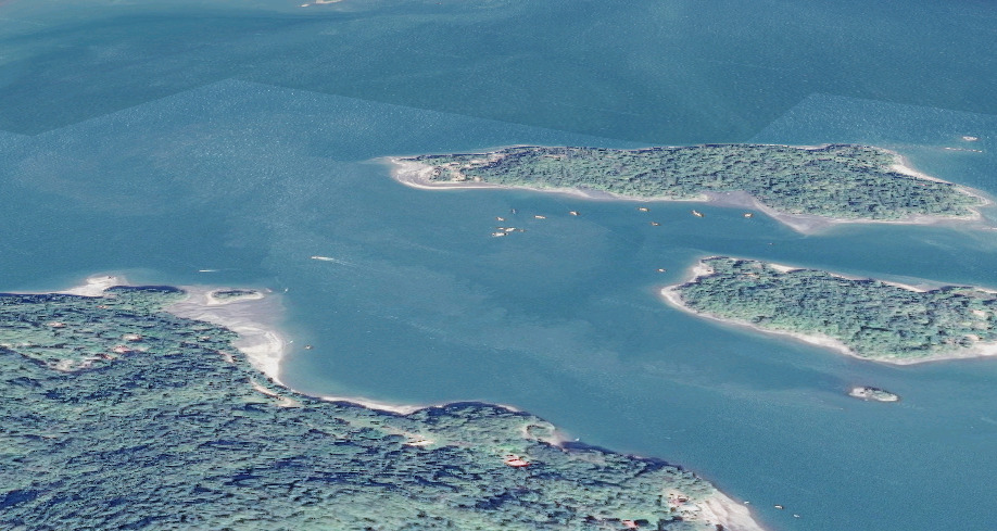
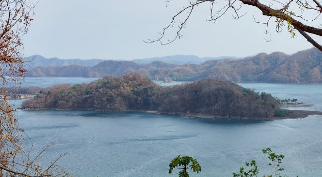
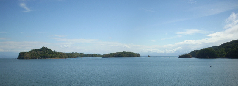
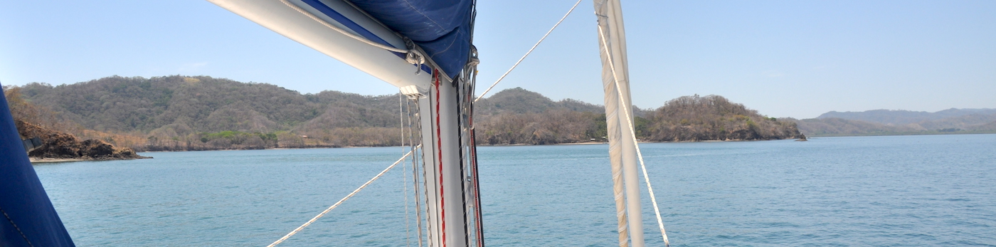
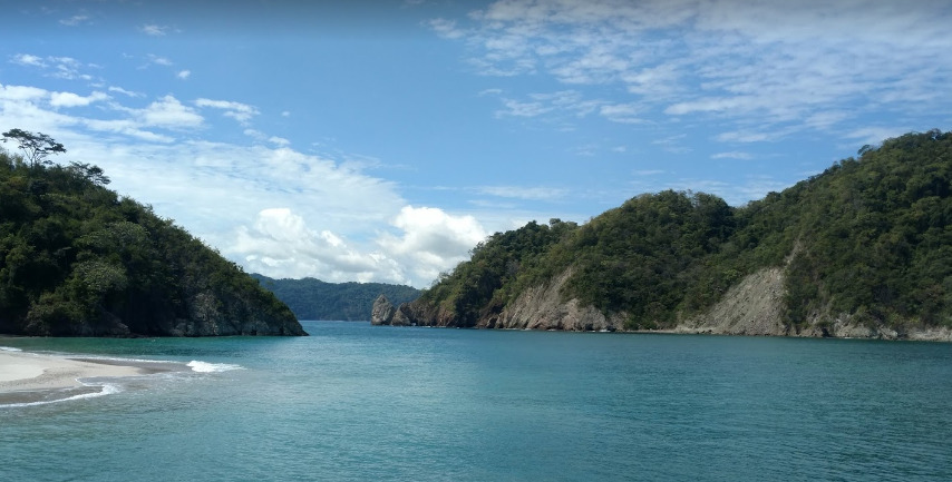
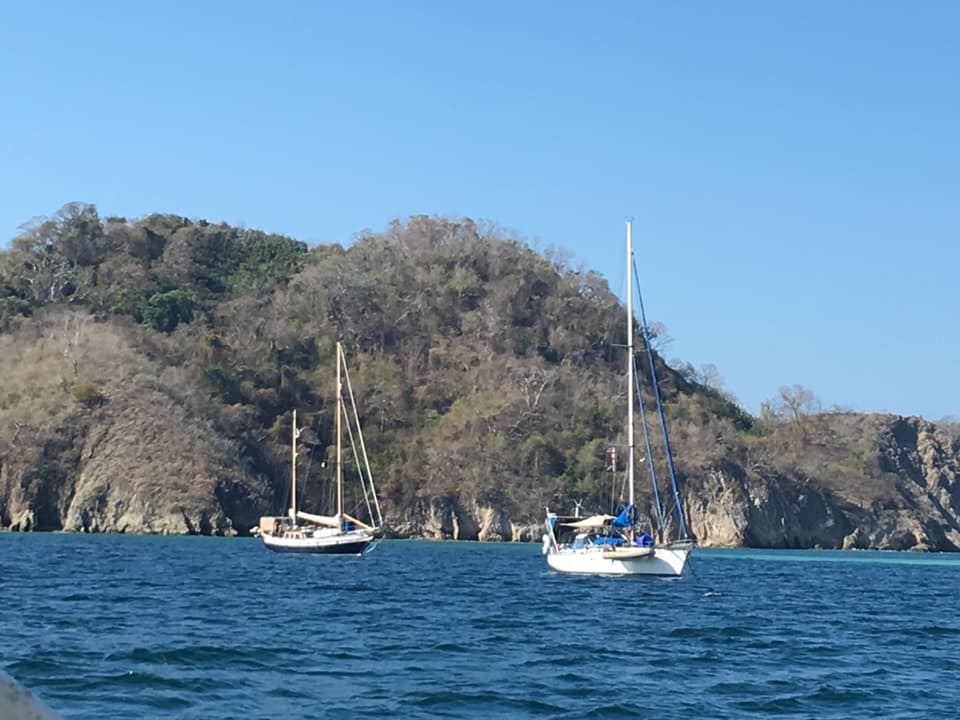
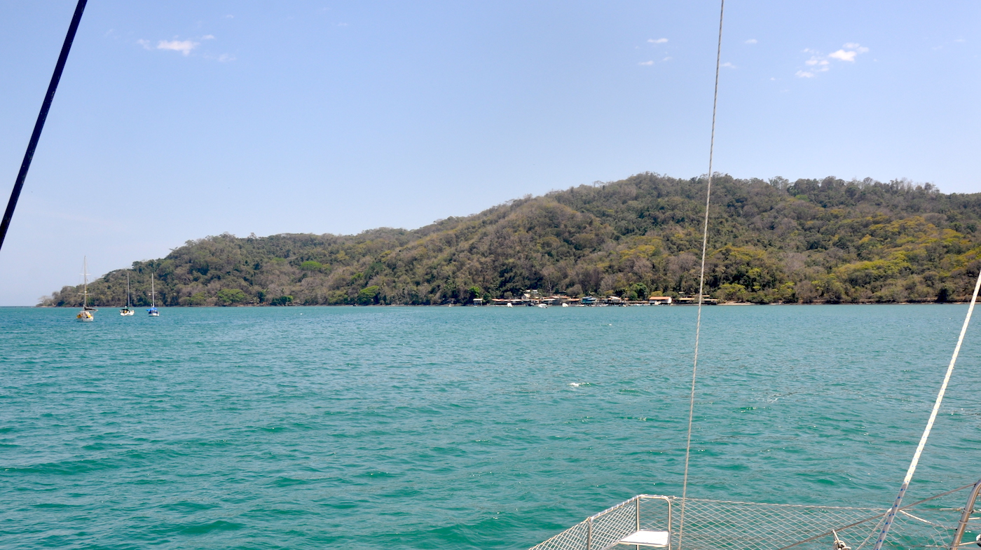
The large bay of Bahia Ballena lies 14NM from Isla Cabo Blanco and is a favorite anchorage for cruisers passing through Costa Rica as well as for boats planning to explore the Golfo de Nicoya. The bay is open to swell from the SE however there is plenty of room to anchor out of the swell in the southwestern corner by the fishermens dock. The prevailing wind direction in Golfo de Nicoya is from the north and anchorage is possible on the northern side of the bay when a northerly is blowing.

Approaches

Give Punta Piedra Amarilla a wide berth, the rocks and reefs extend at least 0.5NM from the shore.

Anchorage

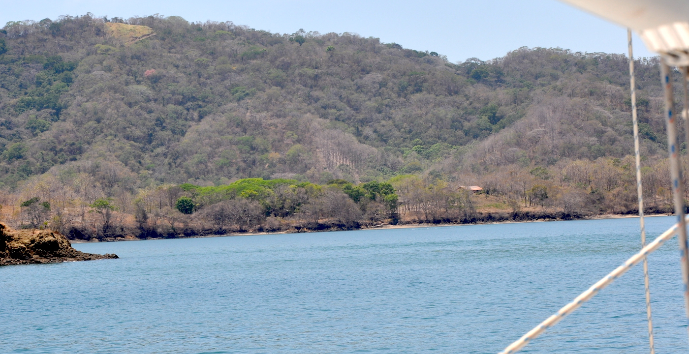
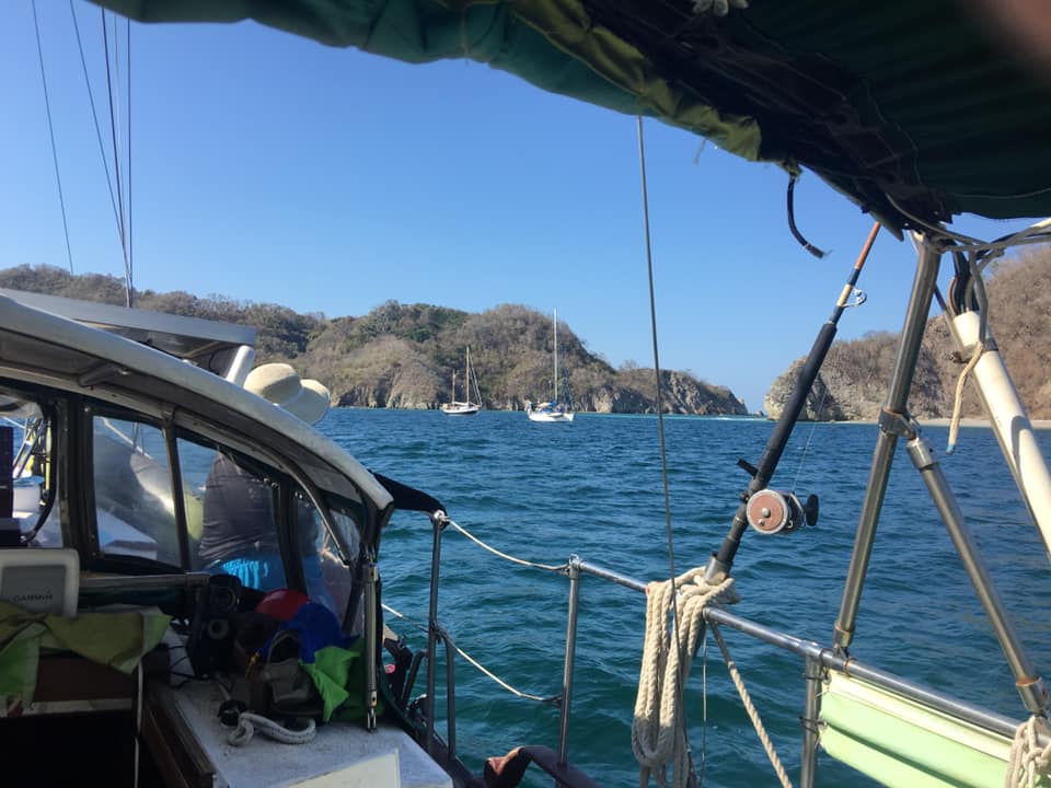
The anchorage on the south side of the bay close to a fishing village offers great protection from the swell but is exposed to wind from the north through east. Anchor in 2.3m on a muddy sand bottom with good holding.

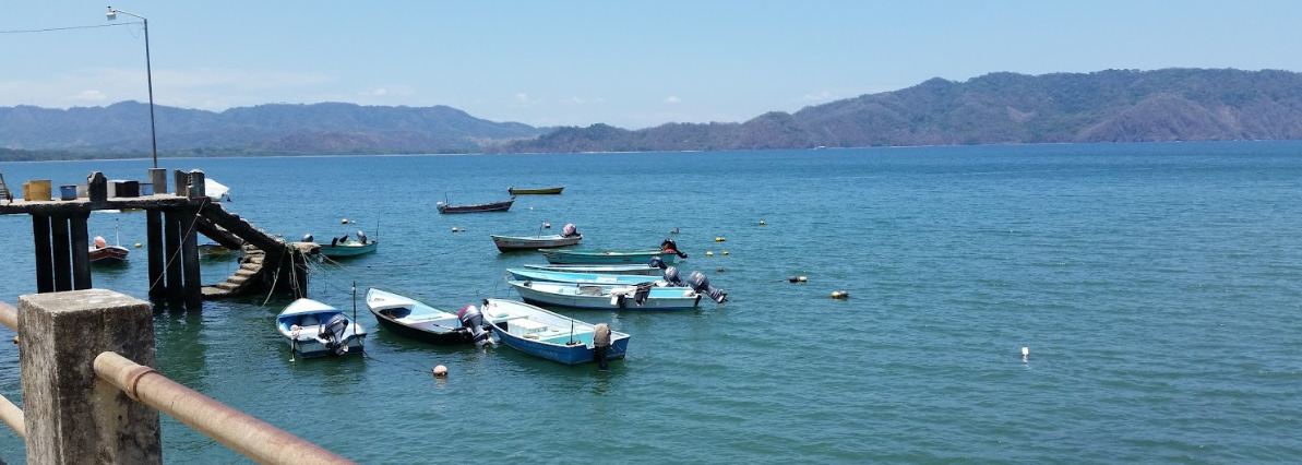
Tying up at the commercial dock can be hazardous. The steps on either side are falling down and are slippery with slime. As you approach the dock thread through a spiders web of mooring lines then squeeze between the pangas and to reach the concrete jetty. Tie up to whatever you can find (there are no rings or cleats) and be careful walking up the stairs.

Alternatively dinghy in 0.5NM to the beach but watch out for the waves as you land on the beach. Take an anchor or try to go in at high tide otherwise it is a long haul up the beautiful, flat, white sand beach to secure your dinghy to a tree.

Facilities

There is almost nothing available at the fishing village in the SW corner of the bay. The yacht club is defunct Jerry cans of water can be bought from the Fishermans Cooperative; a large building opposite and to the right of the commercial dock. Loading them into the dinghy requires some ingenuity.

There is a beach bar and a small grocery store in Tambor, otherwise take the bus into Cobano, a small market town in the centre of the peninsula where you can find several supermarkets, a bank, a pharmacy and a few restaurants.

A walk along the dirt track south of the village through lush rainforest lead us to a deserted beach where we watched the surf crashing against the rocky shore and basked in the wonderful emptiness of it all.

Dangers
Misscharted Rocks or Boulders
Rocks
Squalls
Wind Exposure
N NE E
Swell Exposure
E SE
Amenities
Settlement
Restaurant
B&B
Hotels
Grocery Store
Potable Water
Fuel via Jerrycans
Date & Time Visited
2018-03-14T11:11:11
2019-02-24T11:11:11
Anonymous