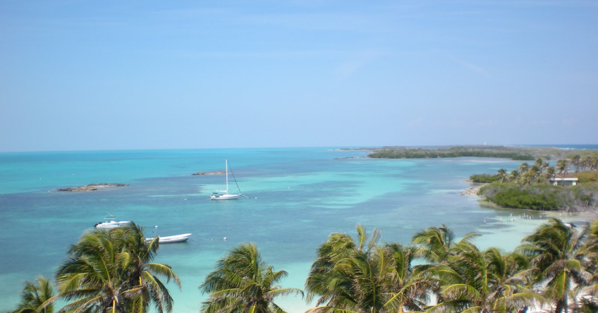

Lagunas de Montebello National Park
16° 6.1342 N 91° 40.8067 W
National park in the Mexican state of Chiapas, near the border with Guatemala, comprising 59 multi-colored lakes in a pine forest and two Maya ruins.


- Read more about Lagunas de Montebello National Park
- Log in or register to post comments
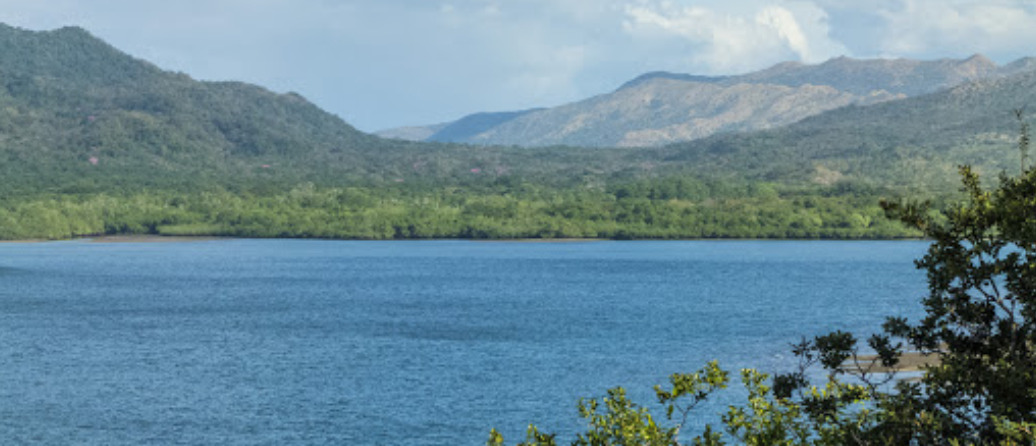
Carara National Park
9° 47.1775 N 84° 34.9081 W
Rainforest experience and biological reserve famous for its wild scarlet macaw populationand other tropical bird species which attract birdwatche


- Read more about Carara National Park
- Log in or register to post comments
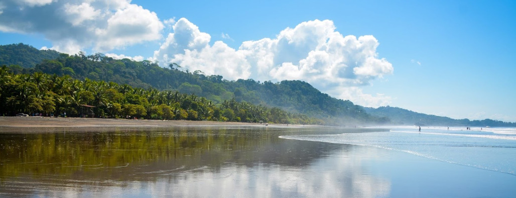
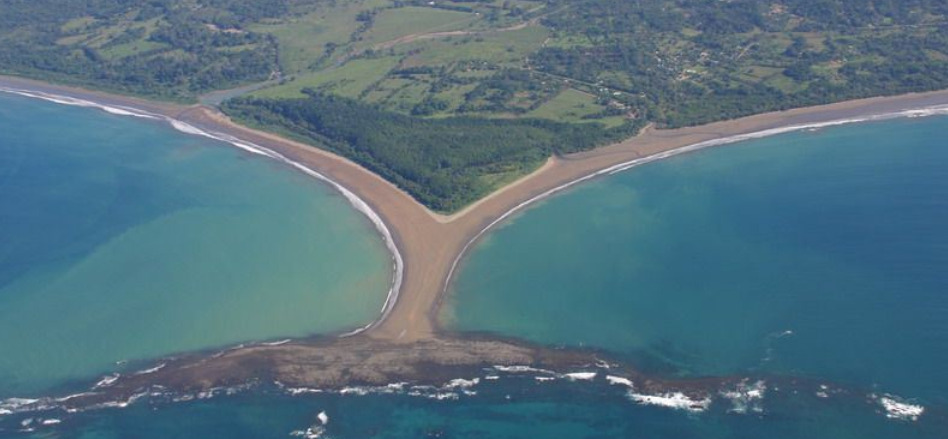
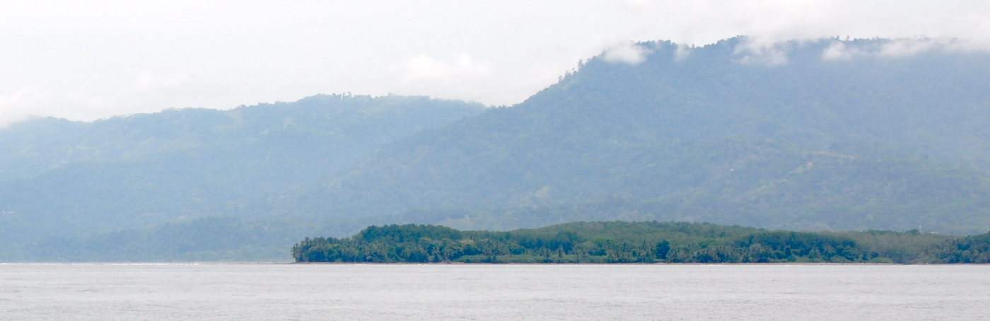
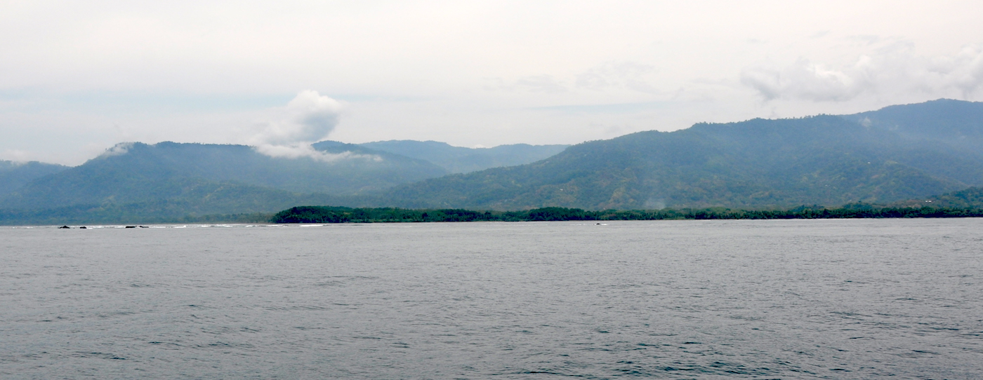
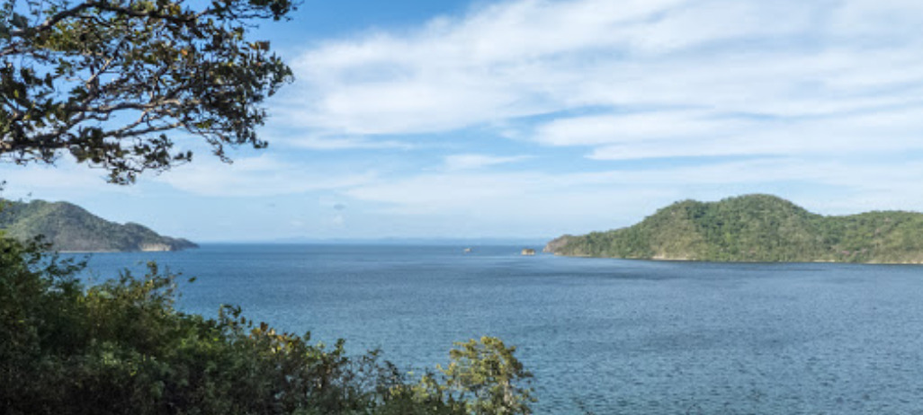
Ballena Marine National Park
9° 9.0570 N 83° 45.0216 W
Humpback whales migrate through here from July to October, and from December through March


- Read more about Ballena Marine National Park
- Log in or register to post comments
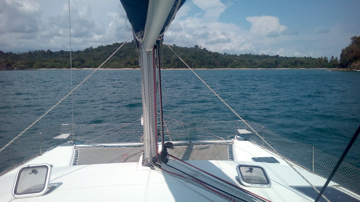
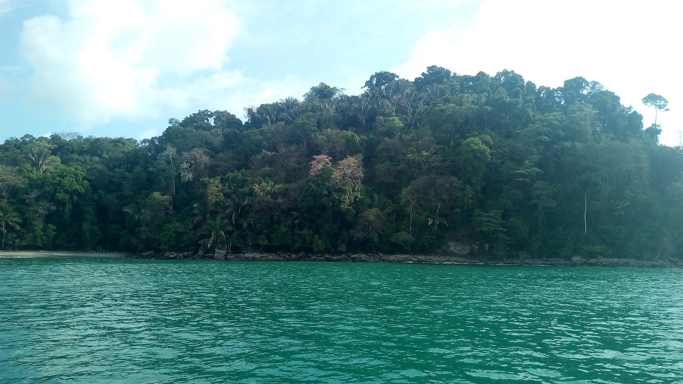
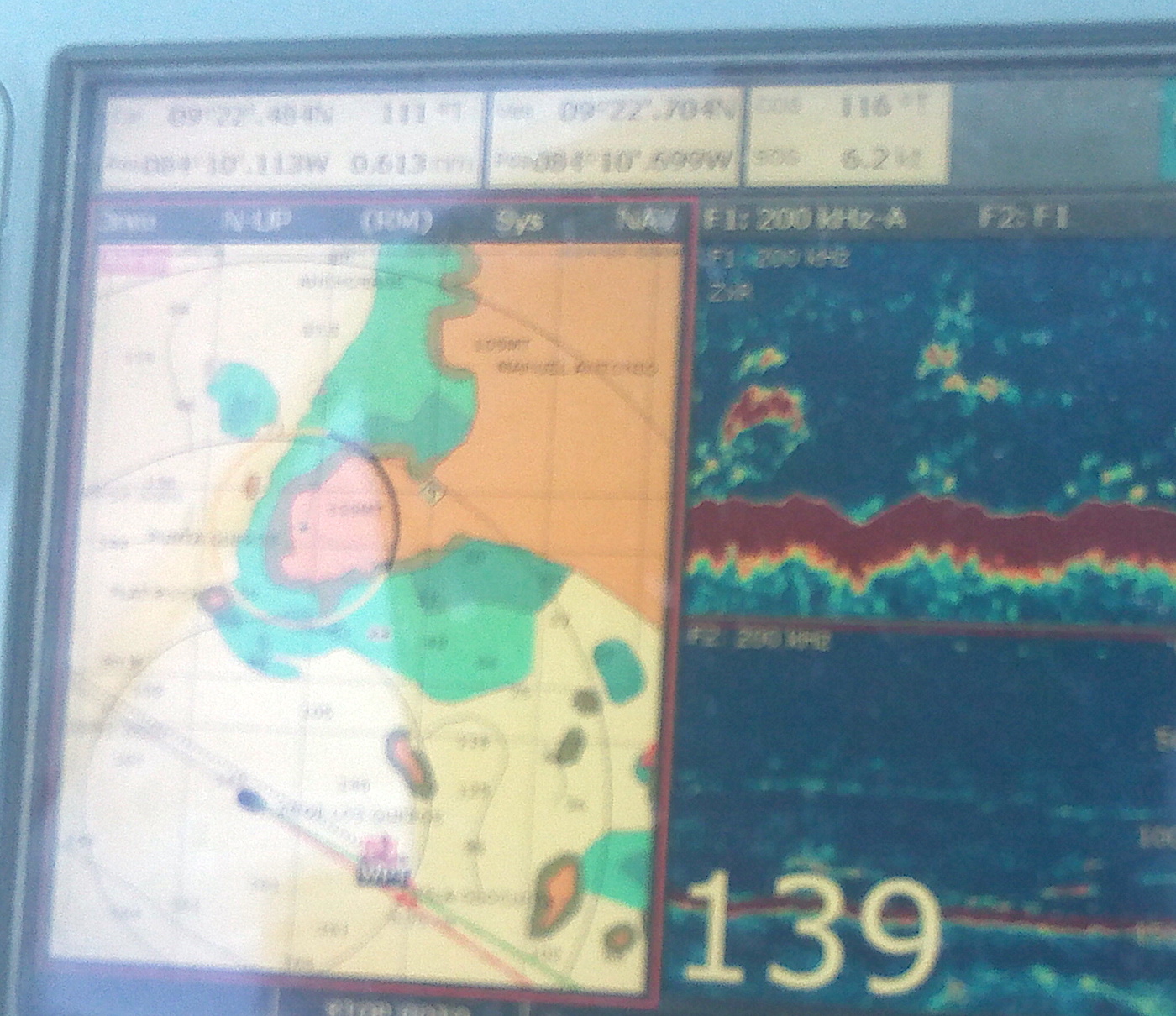
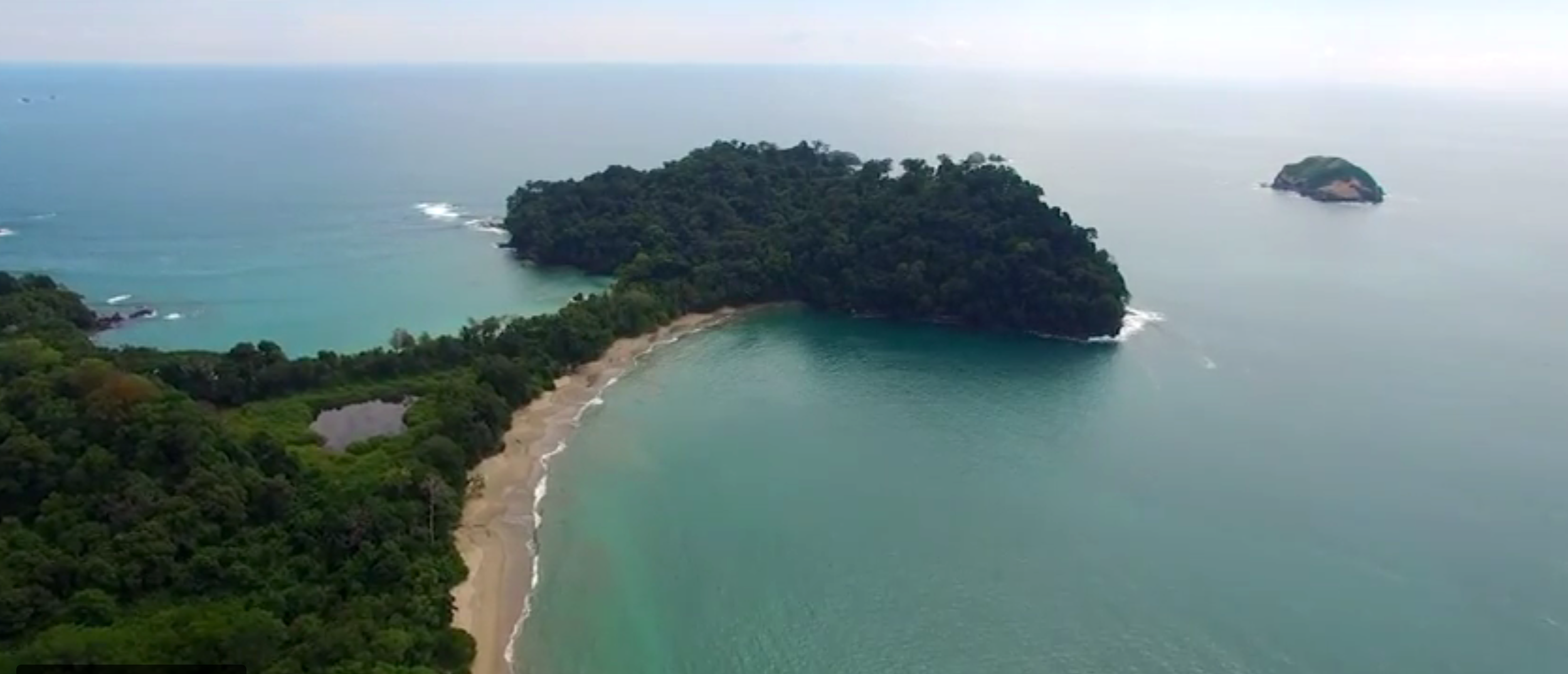
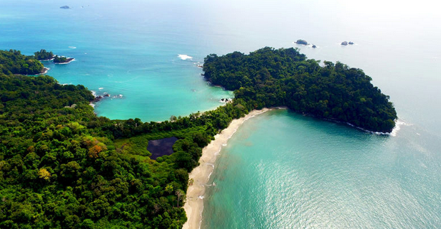
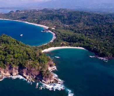
Manuel Antonio National Park
9° 23.0756 N 84° 8.5327 W
Adults $16

- Read more about Manuel Antonio National Park
- Log in or register to post comments
Tenorio Volcano National Park
10° 42.9230 N 84° 59.2522 W
Bring boots - good hike along the blue water 1000 colon fee Rio Celeste waterfalls


- Read more about Tenorio Volcano National Park
- Log in or register to post comments