Anchorage
Fiji
Approach
◬ 17° 56.1275 S 177° 10.9359 E
Depth
30.0 ft
9.0 m
Bottom Composition
S - Sand
M - Mud
Aids to Navigation
Depth Contours
Land
Local Marks
Buoys
Shore Access
Beach
Notes

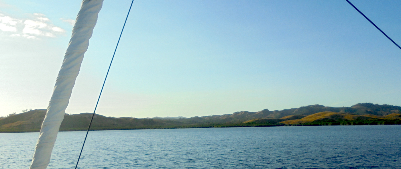
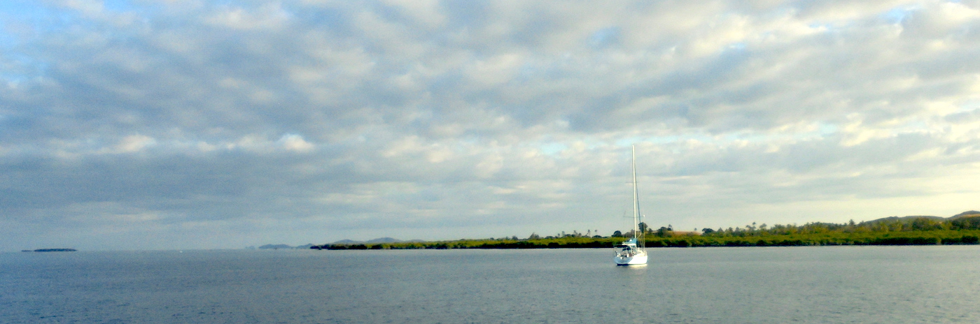
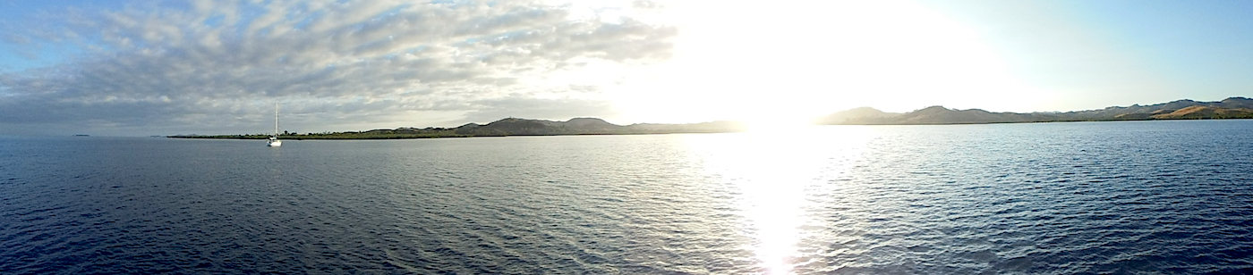
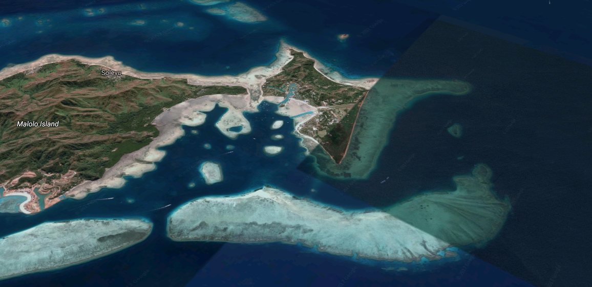
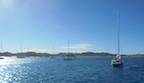
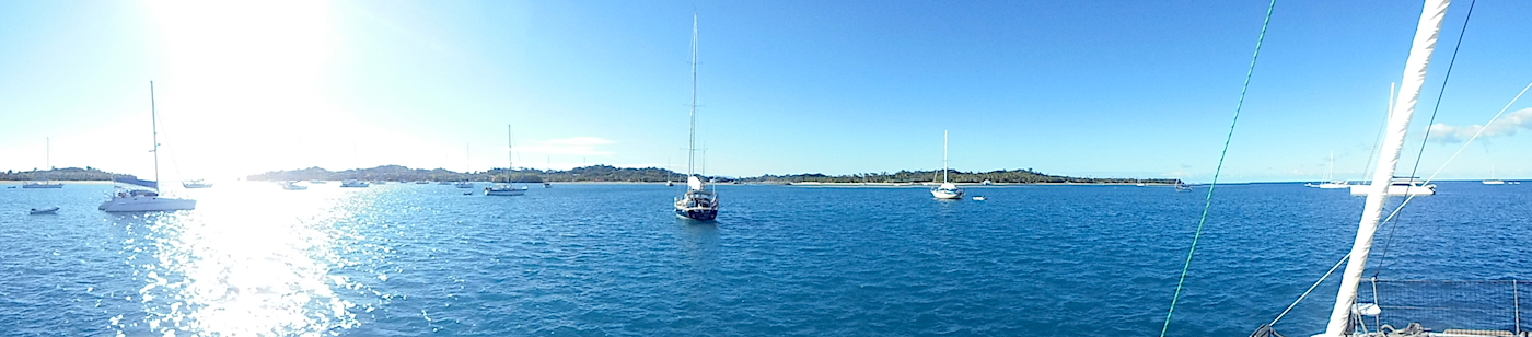
Great place to anchor prior to checking in or before heading out of Fiji. Line up the Navula passage Range Markers ( red sequence at night and day markers ). We passed through on a moonless night near high tide and proceeded for another mile and a half till we found this spot. You may see a pilot boat in there or fishing vessels near the reef - but it is plenty wide and deep.

Wind Exposure
SW W NW
Swell Exposure
SW W NW
Date & Time Visited
2014-05-03T20:30:00
editor
Anchorage
Fiji
Momi Bay
Approach
◬ 17° 56.0295 S 177° 11.4817 E
◬ 17° 55.0202 S 177° 15.5063 E
Depth
16.0 ft
5.0 m
Bottom Composition
M - Mud
Aids to Navigation
Depth Contours
Land
Buoys
Channel Marks
Cardinal Marks
Shore Access
Beach
Notes

Easy entry - follow the range finders and pop to starboard

Dangers
Reef
Wind Exposure
NE SE SW W NW
Swell Exposure
NE SE SW W NW
Date & Time Visited
2014-09-28T19:59:00
editor
Anchorage
Fiji
Depth
40.0 ft
12.0 m
Bottom Composition
M - Mud
S - Sand
Aids to Navigation
Land
Depth Contours
Local Marks
Shore Access
Dock
Beach
Notes

Fruit & Veg Market changes/new produce every 2nd day starting Monday. Some shops close including main supermarket middle of day

Wind Exposure
E SE SW
Swell Exposure
E SE SW
Date & Time Visited
2012-06-20T14:30:00
editor
Anchorage
Fiji
Depth
59.0 ft
18.0 m
Bottom Composition
S - Sand
Co - Coral
Aids to Navigation
Land
Depth Contours
Shore Access
Beach
Wind Exposure
NE
Swell Exposure
NE
Date & Time Visited
2014-01-16T17:15:00
editor
Anchorage
Fiji
Depth
25.0 ft
7.5 m
Bottom Composition
S - Sand
Aids to Navigation
Depth Contours
Land
Shore Access
Beach
Tidal Reef
Wind Exposure
SW W NW
Swell Exposure
S SW W NW
Date & Time Visited
2014-09-10T16:49:00
editor
Anchorage
Fiji
Depth
13.0 ft
4.0 m
Bottom Composition
Co - Coral
Aids to Navigation
Land
Depth Contours
Shore Access
Beach
Tidal Reef
Wind Exposure
SE S SW
Swell Exposure
SE S SW
Date & Time Visited
2014-09-28T19:44:00
editor
Anchorage
Fiji
Depth
59.0 ft
18.0 m
Bottom Composition
Co - Coral
S - Sand
Aids to Navigation
Land
Depth Contours
Shore Access
Beach
Wind Exposure
SE S SW
Swell Exposure
SE S SW
Date & Time Visited
2013-12-04T12:00:00
editor
Anchorage
Fiji
Depth
69.0 ft
21.0 m
Bottom Composition
M - Mud
R - Rocky
S - Sand
Aids to Navigation
Depth Contours
Land
Local Marks
Shore Access
Beach
Wind Exposure
E SE
Date & Time Visited
2011-01-19T13:31:00
editor
Anchorage
Fiji
Depth
25.0 ft
7.5 m
Bottom Composition
S - Sand
Co - Coral
Aids to Navigation
Lights
Shore Access
Beach
Boat Ramp
Dock
Floating Dock
Marina
Notes

For Marina or Mooring ball reservations please contact mcyc@musketcovefiji.com or visit www.musketcovefiji.com/marina-en.html Safe waypoints 17?ш 47.566 S 177?ш 12.744 E [ outside stick marker to star board ] 17?ш 47.428 S 177?ш 12.062 E [ reefs on both port and starboard ] 17?ш 47.352 S 177?ш 11.026 E [ green marker to starboard ] 17?ш 47.174 S 177?ш 10.889 E [ green marker to starboard ] 17?ш 47.009 S 177?ш 10.839 E [ green marker to starboard ] 17?ш 46.868 S 177?ш 10.792 E 17?ш 46.563 S 177?ш 10.873 E 17?ш 46.430 S 177?ш 11.021 E [ starts the general anchorage and mooring area ] mooring 5

Dangers
Reef
Wind Exposure
SW W
Swell Exposure
SW W NW
Amenities
Resort
Fuel
Date & Time Visited
2013-05-21T14:45:00
editor
Anchorage
Fiji
Depth
40.0 ft
12.0 m
Bottom Composition
S - Sand
Aids to Navigation
Depth Contours
Land
Shore Access
Beach
Notes
Wind Exposure
N S SW W NW
Swell Exposure
N S SW W NW
Date & Time Visited
2011-05-17T13:27:00
editor