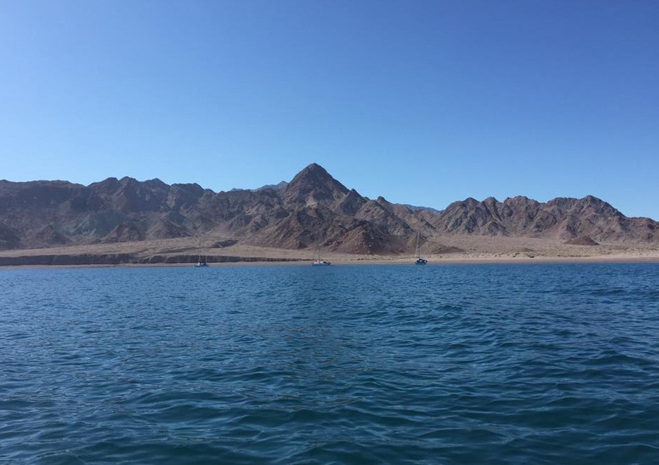
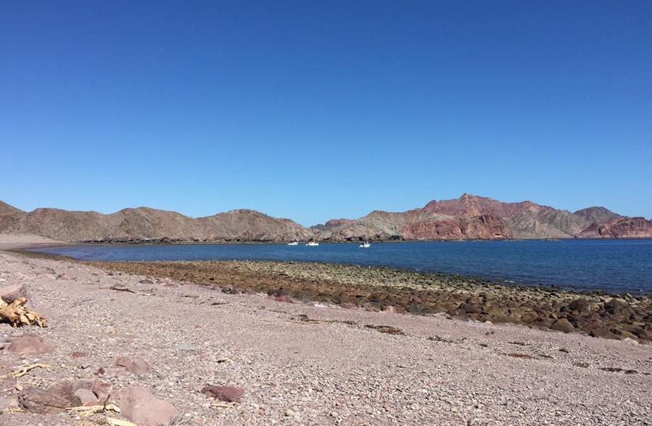
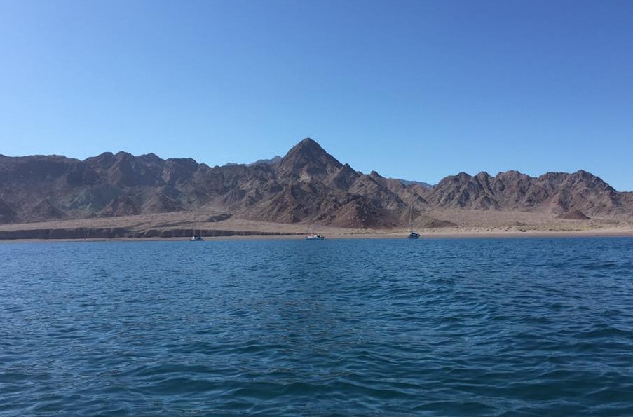
SUNKEN PANGA WRECK

Mexico - Pacific
DANGER
Wreck

One of my more unusual moments this morning as I went to pull anchor at Aqua Verde my anchor was stuck. I assumed it was a rock or something but come to find out as the anchor lifted, I actually had about half of a Panga attached to my anchor!!! Here are the coordinates for reference.

Anchorage
Mexico - Pacific
Approach
◬ 30° 29.6901 N 116° 4.7381 W
◬ 30° 28.9135 N 116° 4.9595 W
◬ 30° 28.5540 N 116° 5.2788 W
◬ 30° 28.5273 N 116° 5.7372 W
◬ 30° 28.7315 N 116° 6.2624 W
◬ 30° 28.8469 N 116° 6.2727 W
Depth
15.0 ft
4.5 m
Bottom Composition
S - Sand
Aids to Navigation
Depth Contours
Land
Shore Access
Estuary
Notes

If it blows hard from the NW you can tuck in behind the bay to get out of swells - more W - SW swells will catch you here though

Dangers
Swell
Wind Exposure
E SE S SW
Swell Exposure
SE S SW W
dietmar
Anchorage
Mexico - Pacific
Isla Angel - NW
Isla Mejilla
Depth
8.0 ft
2.4 m
Bottom Composition
S - Sand
Aids to Navigation
Depth Contours
Land
Shore Access
Beach
Notes

The channel separating Isla Mejia from the northern tip of Isla Angel de la Guarda is open to the NE and SW but is very well protected from wind and swell from other directions. The dramatic scenery of the craggy red islands and white sand bars with the deep blues of sky and water makes this remote anchorage quite unforgetable.

Approaches

No info.

Anchorage

almost anywhere in the channel between Isla Mejia and Isla Angel de la Guarda in depths of 5-12m. Tuck in behind Isla Navio in 2.4m on a sandy bottom for some protection from the northeast.

Facilities

None.

Dangers
Rocks
Wind Exposure
NE SW W
Swell Exposure
NE SW W NW
SUSIMI
Anchorage
Mexico - Pacific
Approach
◬ 29° 32.4540 N 113° 33.3223 W
◬ 29° 33.1846 N 113° 33.0916 W
◬ 29° 35.4621 N 113° 33.3817 W
Depth
15.0 ft
4.5 m
Bottom Composition
S - Sand
Aids to Navigation
Depth Contours
Land
Shore Access
Beach
Notes

Puerto Refugio is a small cove within the wide bay at the northern tip of Isla Angel de la Guarda. Isla Granito, the 1km long skinny island lying at the entrance to the bay, blocks some of the northerly swell but the anchorage is still very rolly when a norther is blowing. The western cove is very well protected from all other directions.

Approaches

No info.

Anchorage

Rocks extend from the western point towards the boney finger of rock that juts out from the south side of the cove. Anchor in the northwest corner of the bay in 4.5m on a sandy bottom. The southern part of the bay is scattered with rocks and islets and a lookout on the bow is recommended if trying to enter this part of the cove. Dinghy ashore to the beach and be careful when landing if waves are breaking.

Facilities

None.

Dangers
Catabatic winds
Wind Exposure
N NE NW
Swell Exposure
N NE NW
Date & Time Visited
2020-08-10T11:10:01
SUSIMI
Anchorage
Mexico - Pacific
Approach
◬ 30° 27.9503 N 116° 13.0087 W
◬ 30° 18.3368 N 116° 2.3383 W
◬ 30° 18.8526 N 115° 57.2502 W
◬ 30° 19.9550 N 115° 56.1790 W
◬ 30° 21.7682 N 115° 56.7558 W
◬ 30° 22.4436 N 115° 57.5592 W
◬ 30° 22.4969 N 115° 58.7334 W
Depth
11.0 ft
3.3 m
Bottom Composition
S - Sand
Aids to Navigation
Depth Contours
Land
Shore Access
Beach
Notes

The western side of Bahia San Quintin is shallow but offers better protection from swell bending around the point. Anchor in 3.3m close to the mouth of the lagoon. We saw a whale circling us there is also the local monument structure of "LA HOLA" on the shore . Give the entrance a wide berth as there are mis-charted rocks.

Dangers
Strong Current
Whales
Bay Shallows
Wind Exposure
NE E SE
Swell Exposure
S
Amenities
Fuel via Jerrycans
Restaurants
Supermarket
Date & Time Visited
2017-01-22T11:11:11
Carinthia