Anchorage
Mexico - Pacific
Bahia Santa Teresa
Depth
24.0 ft
7.0 m
Bottom Composition
S - Sand
Aids to Navigation
Depth Contours
Land
Shore Access
Beach
Notes

Punta San Gabriel lies 73NM northwest of Santa Rosalia and 12NM south of San Lorenzo Island. The cape has several bays and headlands and bays each lined with rocky red cliffs and a strip of white sand. The anchorage at Punta Gabriel on the east side of the point is almost a roadstead anchorage providing almost no protection from swell except from SW-NW. Wind from the northwest whistles across the dry lake bed behind the bay but Punta Santa Teresa offers some shelter from the north.

Approaches

No info

Anchorage

Anchor close to the north end of the beach behind Punta Santa Teresa in 7m on a sandy bottom. Be careful landing the dinghy on the beach if the swell is running.

Facilities

Basic services such as beer, ice and sometimes warm meals can be obtained at the small rustic Hotel Punta San Francisquito at the southern end of the bay. The dry lake bed serves as an airstrip, there is a taco shop at the southern end of the runway.

Wind Exposure
N NE E SE S
Swell Exposure
N NE E SE S SW
Amenities
Hotel
Restaurant
Date & Time Visited
2009-10-25T12:12:00
editor
Anchorage
Mexico - Pacific
Punta las Animas West
Depth
26.0 ft
7.5 m
Bottom Composition
S - Sand
M - Mud
Aids to Navigation
Depth Contours
Land
Shore Access
Beach
Notes

This tiny cove is lies at the tip of Punta las Animas which is located 23NM northwest of San Lorenzo Island. The bay and it’s twin sister to the east are open to the north but a rocky island at the entrance provides some protection from wind and swell from the northwest. With stunning scenery and tranquil water, both bays are excellent anchorages during the summer months.

Approaches

No info

Anchorage

There is adequate space for two or three boats in each bay in 7.5m on muddy sand with good holding. Dinghy ashore to the beach but watch out for small rays in the shallow water.

Facilities

None. Both the bays at the tip of Punta las Animas are part of the Bahía de los Ángeles Biosphere Reserve.

Dangers
Swell
Strong Current
Wind Exposure
N NE W
Swell Exposure
NE E
Date & Time Visited
2009-04-24T14:10:00
editor
Anchorage
Mexico - Pacific
Depth
33.0 ft
10.0 m
Bottom Composition
S - Sand
Aids to Navigation
Depth Contours
Land
Shore Access
Beach
Notes

This extraordinary bay hidden behind a rocky finger on the north end of Punta Roja is one of the best hurricane holes in northern Baja. The sinuous entrance keeps out most of the northerly swell and otherwise the anchorage is protected from all weather.

During a hurricane the bay and the entrance channel can shelter up to one hundred boats.

Approaches

No info.

Anchorage

Anchor anywhere in the centre of the bay in 10m on a sandy bottom. Anchor off the beach in the southeast corner for a more comfortable night if the northeast swell is coming into the bay.

Facilities

None. A 1.5km hike up the cactus filled valley to the east will bring you to a small lagoon on the west side of the next bay.

Wind Exposure
NE
Swell Exposure
NE
Amenities
Hurricane Hole
Date & Time Visited
2009-09-30T12:38:00
Anonymous
Anchorage
Mexico - Pacific
Depth
19.0 ft
5.5 m
Bottom Composition
S - Sand
Aids to Navigation
Depth Contours
Land
Shore Access
Beach
Notes

The La Mona anchorage lies on the east side of Bahia de los Angeles and is well protected from the north, south and east though occasionally the northerly swell may wrap around the point. The cove is open to the west but the mountains on the west side of Bahia de los Angeles provide some shelter from that direction.

Bahia de los Angeles is no longer off the beaten track. Highway 12 terminates on the west side of the bay and the beautiful white sand beach at La Mona is lined with dozens of holiday homes. Nonetheless the calm water with a stunning backdrop of mountain peaks makes this a memorable anchorage for all seasons.

Approaches

No info.

Anchorage

Anchor at the north end of the beach at the foot of the red cliffs of Punta Roja in 5.5m on sand with good holding.

Facilities

None.

Wind Exposure
SW W NW
Swell Exposure
W NW
Date & Time Visited
2009-10-09T14:56:00
editor
Anchorage
Mexico - Pacific
Depth
17.0 ft
5.0 m
Bottom Composition
S - Sand
Aids to Navigation
Depth Contours
Land
Shore Access
Beach
Notes

The southern end of Bahia de los Angeles is a good anchorage during the summer months but is not recommended when the winter northerlies are blowing. Swell from the north through to the east enters the bay and rebounds off the beach making this a very rollly anchorage. The lagoons and marshes onshore are part of the Bahía de los Ángeles Biosphere Reserve keeping this part of the beach clear of holiday homes.

Approaches

No info.

Anchorage

Anchorage can be taken anywhere along the beach in 5-10m of sand with good holding.

Facilities

None. The lagoon which can be explored by dinghy at high tide is an avian paradise; possible sightings include ospreys, terns and oystercatchers as well as the usual cormorants and pelicans. Whale sharks gather at the south end of this bay during the summer months and tours of snorkelers and divers descend on the bay.

Wind Exposure
N NE NW
Swell Exposure
N NE NW
Amenities
Park or Nature Preserve
Date & Time Visited
2009-10-10T12:15:00
editor
Anchorage
Mexico - Pacific
Depth
19.0 ft
5.5 m
Bottom Composition
S - Sand
Aids to Navigation
Depth Contours
Land
Shore Access
Beach
Notes

Las Rocas lies on the west side of Isla Coronado (aka White Island) about 8.5NM north of Bahia de los Angeles. This crescent shaped bay is protected to the northwest by a small island lined with steep cliffs but is open to the west and southwest.

Approaches

No info.

Anchorage

During the summer months anchor on the south side of the bay in 5.5m on sand but the cliffs on the north side of the bay offer better protection from the winter northerlies.

Facilities

None. The island is part of the Bahía de los Ángeles Biosphere Reserve.

Wind Exposure
SW W NW
Swell Exposure
SW W NW
Date & Time Visited
2009-10-16T08:32:00
editor
Anchorage
Mexico - Pacific
Depth
26.0 ft
7.5 m
Bottom Composition
S - Sand
Aids to Navigation
Depth Contours
Land
Shore Access
Beach
Wind Exposure
SE
Swell Exposure
SE S
Date & Time Visited
2009-10-15T12:11:00
editor
Anchorage
Mexico - Pacific
Punta Arena
Depth
20.0 ft
6.0 m
Bottom Composition
S - Sand
Aids to Navigation
Depth Contours
Land
Shore Access
Beach
Dock
Notes

The small town of Bahia de los Angeles lies on the western side of the entrance to the bay. A light marks the end of the 1.3km long sandspit which extends from the northern side of the bay providing a natural barrier to swell from the north, but the wind blows straight across. The anchorage is exposed to the south and east and can be rolly, in these conditions the northern part of the bay is better protected than the area in front of the town.

The first dock was built at Bahia de los Angeles in 1900 for the export of gold and silver obtained from the mines in the nearby Sierra San Borja Mountains. An 8km railway connected the dock to the San Juan silver mine - the largest producing mine in Baja. Today the small fishing town attracts scientists and educators visiting the Bahía de los Ángeles Biosphere Reserve; a conservation area that extends over the sixteen islands north of Bahia de los Angeles as far as Isla Coronadito.

Approaches

No info.

Anchorage

Anchor in front of the town in 6m on sand but head further north behind the sand spit for better protection from the swell. The holding is not as good in the northern part of the bay as the bottom becomes more pebbly. The docks in the town are hard to access from a dinghy, instead pull the dinghy up on the beach in a spot where the waves are not breaking.

Facilities

The town boasts two well stocked grocery stores and several hotels and restaurants, some with wifi. Jerry cans can be filled at the service station just after the roundabout at the start of the highway.  Although small the museum houses and eclectic collection of Indian artifacts, mining equipment and Indian artifacts and a 30-foot-long skeleton of a juvenile gray whale.

Wind Exposure
N NE E SE S
Swell Exposure
NE E SE S
Amenities
Museum
Grocery Store
Restaurant
Hotels
Park or Nature Preserve
Date & Time Visited
2009-10-23T12:38:00
Anonymous
Anchorage
Mexico - Pacific
Depth
23.0 ft
7.0 m
Bottom Composition
S - Sand
Aids to Navigation
Depth Contours
Land
Local Marks
Shore Access
Beach
Dock
Sea Wall
Notes

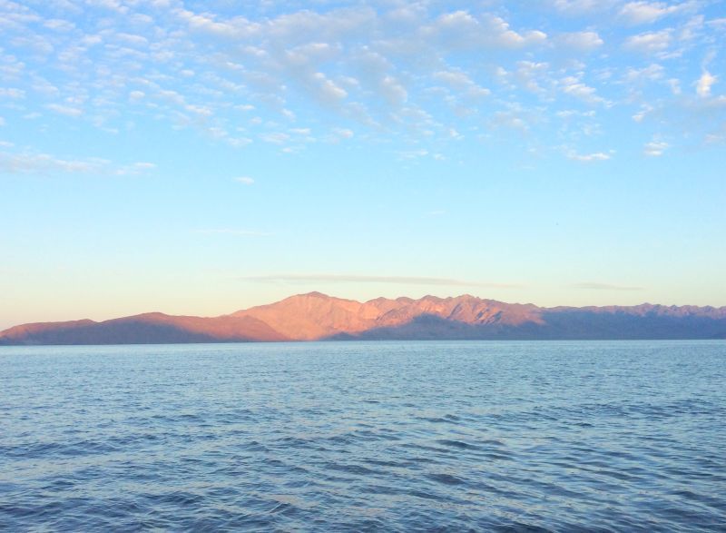
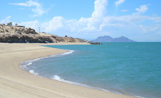
San Felipe is a remote desert community of about 25,000 people located on the east coast of the Baja Peninsula at the very top of the Sea of Cortez. Congratulations if you have made it here! It is home to a sizeable shrimp-fishing fleet of small pangas however the principal source of income is from tourism, mainly snow birds from USA and Canada who own a second home in the town.

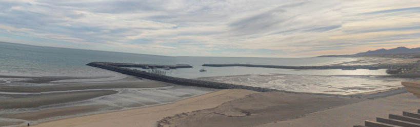
The bay is protected from the south and west but is exposed to weather and swell from the north and east. Southerly swell is likely to wrap around in to the bay. The harbour is gradually silting up and large parts of it are shoal, the minimum depth in the entrance channel is 2.7m. Contact the Port Captain to check current depths in the channel and for permission to enter the harbour.

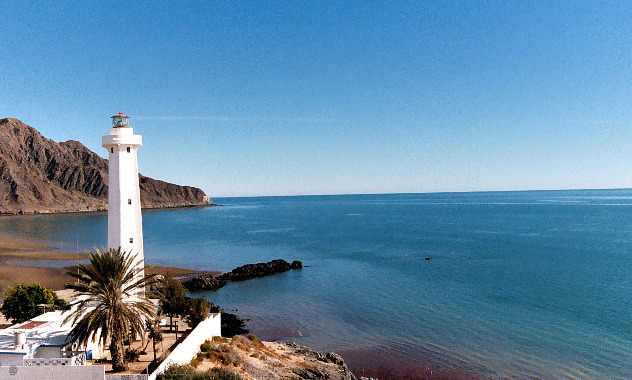
Marina Fonatur San Felipe in the southern corner of the harbour has fifteen slips for boats upto 80’ in length.

Approaches

Be careful coming in at night as the lights of the commercial dock can be seen over the breakwater and can be confused with the entrance lights of the harbour.
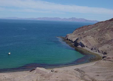
Anchorage

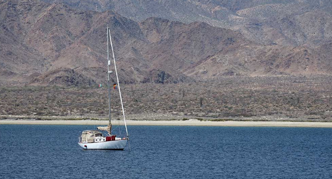
Anchor opposite the harbour entrance in 7m on sand. Dinghy ashore to the beach inside the harbour or at the marina.

Facilities

Most essential needs can be met in San Felipe with a propane store, a couple of banks, numerous supermarkets and grocery stores, masses of restaurants and a night club. There are a number of clinics in town but the hospital is closed. The town is a 2NM dinghy ride or an $8 taxi ride from the marina.

All the shoreside facilities Marina Fonatur San Felipe have been recently renewed and are in excellent condition including a hotel, a bar and a laundry. Unfortunately the floating docks are in very poor condition but work is on going to build new dockage modules. Cockroaches are a problem on the docks, spray your dock lines with roach poison to keep them at bay.

There is reportedly no dockage fee charged at the fuel dock. The local water is safe to drink but has a high mineral content. Internet services are very expensive but many of the cafes and restaurants in town have wifi.

Dangers
Shoaling
Wind Exposure
N NE E SE NW
Swell Exposure
NE
Amenities
Provisioning
Propane
Marina
Laundry
Fueldock
Bank
Restaurants
Supermarket
Date & Time Visited
2011-12-01T11:39:00
editor