Anchorage
Mexico - Pacific
Cedros Yacht Club
Approach
◬ 28° 20.2564 N 115° 10.8051 W
◬ 28° 20.1941 N 115° 11.6136 W
Depth
30.0 ft
9.0 m
Bottom Composition
S - Sand
Aids to Navigation
Depth Contours
Land
Shore Access
Rocky Beach
Notes

The east coast of Isla Cedros has several anchorages; the northern anchorage is a roadstead exposed to weather from both north and south.

The Sealions are noisy and can sometimes keep you up all night especially during mating saeson

Dangers
Sealions
Wind Exposure
N NE E SE S
Swell Exposure
N NE E SE S
Date & Time Visited
2008-06-27T13:15:00
editor
Anchorage
Mexico - Pacific
San Carlos
Approach
◬ 29° 36.0554 N 115° 33.8390 W
◬ 29° 34.3089 N 115° 29.2557 W
◬ 29° 34.7747 N 115° 28.3596 W
◬ 29° 35.4823 N 115° 27.6489 W
◬ 29° 36.3599 N 115° 27.8652 W
◬ 29° 36.7987 N 115° 28.1742 W
◬ 29° 36.9599 N 115° 28.3596 W
Depth
25.0 ft
7.5 m
Bottom Composition
S - Sand
Aids to Navigation
Depth Contours
Land
Shore Access
Beach
Notes

The anchorage lies on the south side of Punta San Carlos.

Approaches

No info

Anchorage

A marginal anchorage in 7.5m on a sandy bottom avoiding the patches of seaweed.

Facilities

The small settlement offers no facilities except perhaps a abarrotes (small grocery store).

Wind Exposure
S SW
Swell Exposure
S SW
Amenities
Grocery
Date & Time Visited
2008-06-27T15:59:00
editor
Anchorage
Mexico - Pacific
Approach
◬ 30° 27.4176 N 116° 12.6173 W
◬ 30° 17.5721 N 116° 1.5143 W
◬ 30° 18.5858 N 115° 57.3326 W
◬ 30° 20.5061 N 115° 55.2933 W
◬ 30° 23.4387 N 115° 55.7877 W
Depth
17.0 ft
4.7 m
Bottom Composition
S - Sand
Aids to Navigation
Depth Contours
Land
Shore Access
Beach
Notes

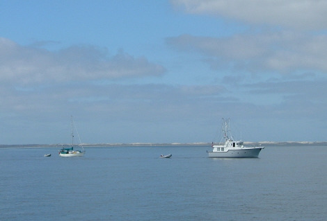
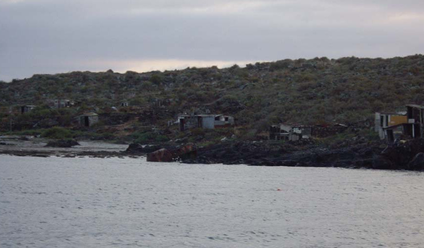
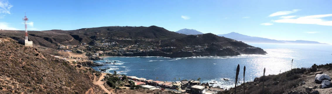
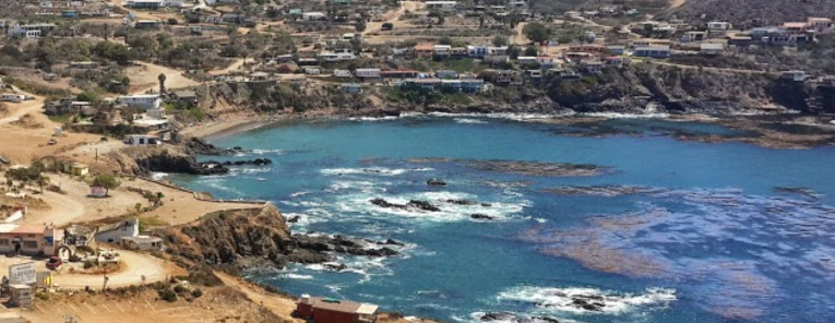
Whale watching, sport fishing and fantastic seafood bring tourists to San Quintin. Oysters, mussels and abalones are harvested from the crystal clear waters of the bay so please avoid dumping waste of any kind overboard. The lagoon provides great opportunities for dinghy exploration and the remains of an abandoned British colony lie in the shore of the inner bay.

Approaches

No info

Anchorage

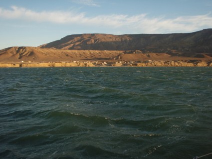
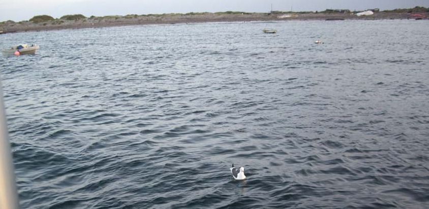
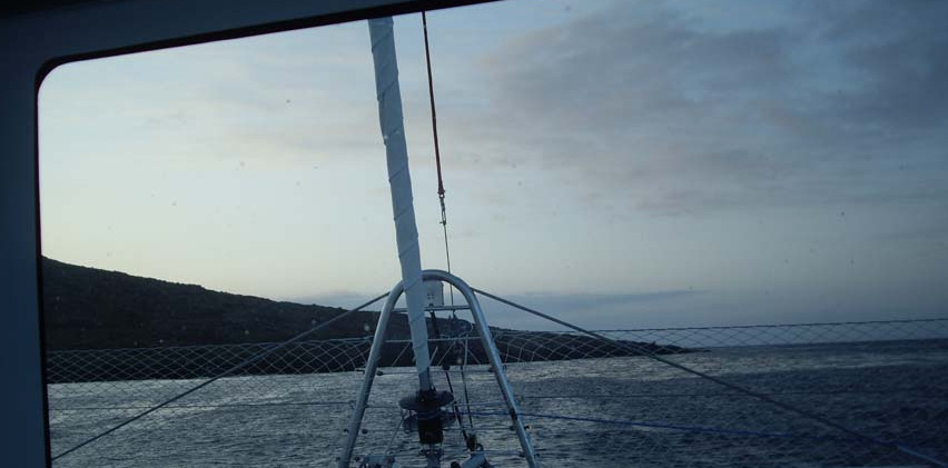
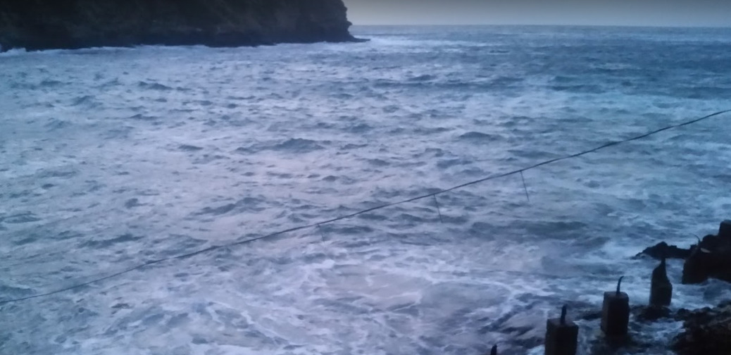
The anchorage on the east side of the bay is open to the SW and feels quite exposed with surf breaking even a mile offshore. Anchor on a sandy bottom in 5-10m just outside the shoal line which is marked by small breakers.

Facilities

The town of San Quintin lies about 20km from the bay hosts a supermarket as well as several restaurants, convenience stores and a gas station.

Dangers
Swell
Fog
Wind Exposure
SW W
Swell Exposure
SW W
Amenities
Supermarket
Fuel via Jerrycans
Restaurants
Date & Time Visited
2014-09-27T07:48:00
editor
Anchorage
Mexico - Pacific
Depth
35.0 ft
10.5 m
Bottom Composition
S - Sand
Aids to Navigation
Depth Contours
Land
Shore Access
Beach
Notes

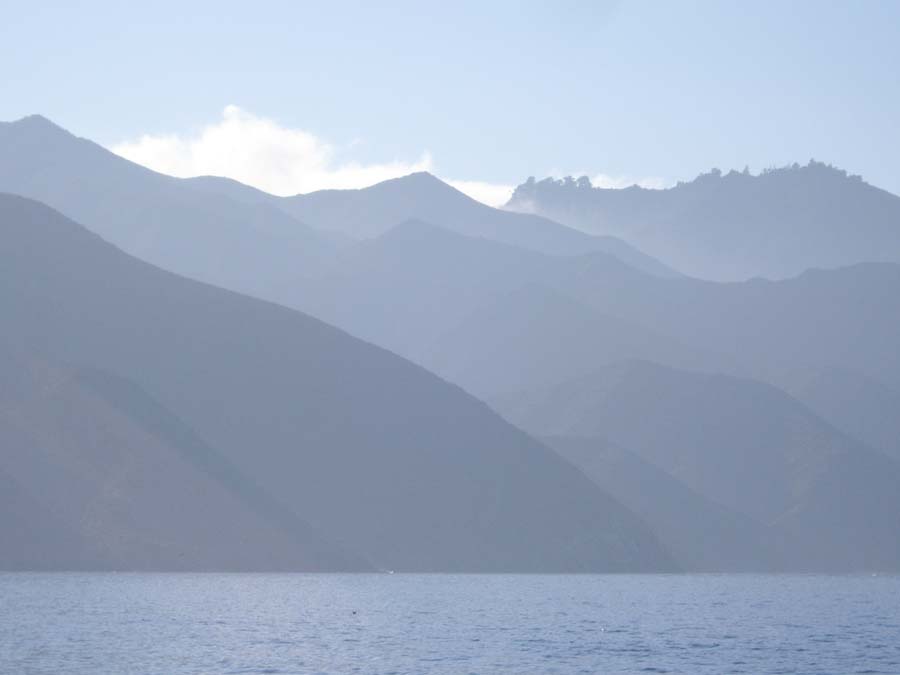
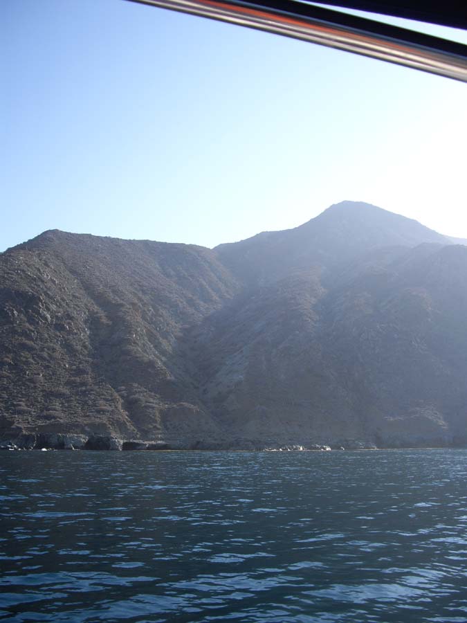
Isla San Martin is an uninhabited island lying 15NM from San Quintin. The island was formed by an extinct volcano. Access to the island is by permission only.

Approaches

No info

Anchorage

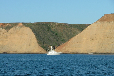
Anchor at Hassler’s Cove on the SE corner of the island in 10.5m on a sandy bottom. The cove is reported to be a calm anchorage with good shelter from the south. It is home to a harbour seal colony.

Facilities

None

Wind Exposure
N NE
Swell Exposure
N NE
Date & Time Visited
2008-04-18T17:09:00
editor
Anchorage
Mexico - Pacific
Approach
◬ 30° 56.8195 N 116° 25.1418 W
◬ 30° 53.9214 N 116° 21.5575 W
◬ 30° 54.2926 N 116° 19.1267 W
◬ 30° 55.9891 N 116° 17.6848 W
◬ 30° 56.9255 N 116° 17.0050 W
◬ 30° 57.5084 N 116° 16.8402 W
Depth
23.0 ft
7.0 m
Bottom Composition
S - Sand
Aids to Navigation
Depth Contours
Land
Shore Access
Beach
Notes

A proposal to turn this desolate and sparsely inhabited inlet in to a multibillion-dollar deep water mega-container port luckily seems to have stalled. This anchorage offers little shelter from the north or south.

Approaches

No info

Anchorage

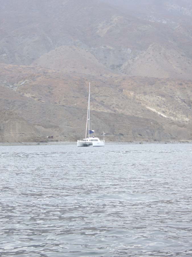
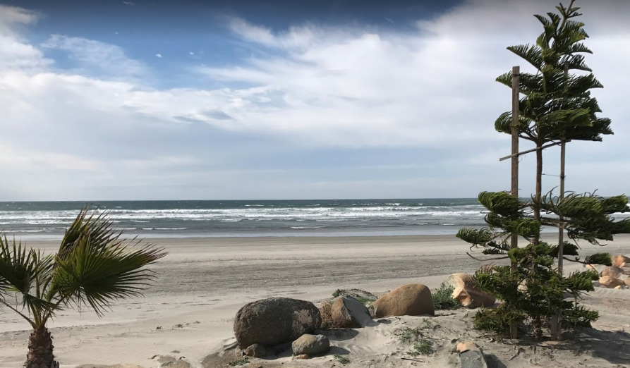
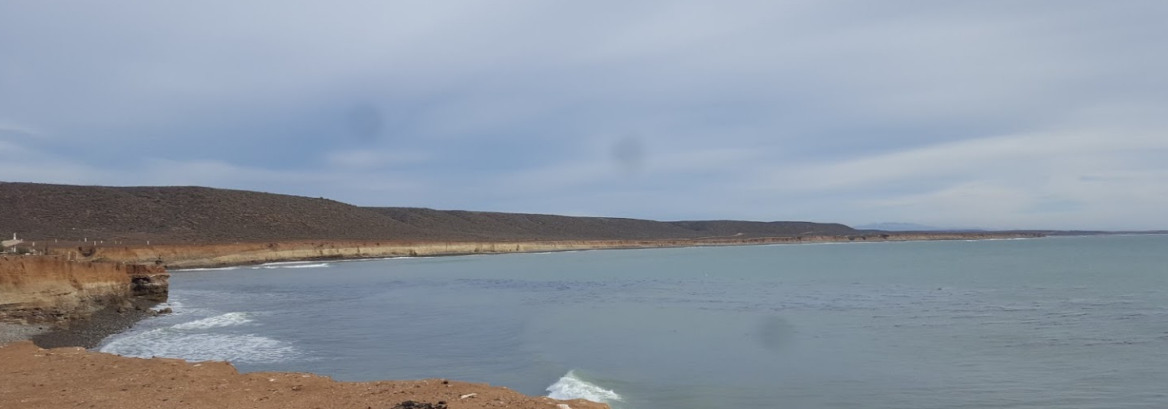
On the south side of Punta Colonet find a deep gorge in the cliff and anchor in 7m on a sandy bottom. There is beach access to shore close to the river mouth.

Facilities

The small settlement which lies 12km from Bahia Colonet Bight has a convenience store.

Dangers
Swell
Wind Exposure
N NE NW
Swell Exposure
N NE NW
Date & Time Visited
2014-11-12T12:35:00
editor
Anchorage
Mexico - Pacific
Approach
◬ 31° 42.7964 N 116° 44.7781 W
◬ 31° 42.6036 N 116° 44.2013 W
◬ 31° 43.0483 N 116° 43.2306 W
◬ 31° 43.1742 N 116° 43.1610 W
◬ 31° 43.3221 N 116° 43.0890 W
◬ 31° 43.3933 N 116° 43.0658 W
◬ 31° 43.4174 N 116° 43.0400 W
Depth
16.0 ft
4.5 m
Bottom Composition
S - Sand
Aids to Navigation
Depth Contours
Land
Local Marks
Shore Access
Beach
Notes

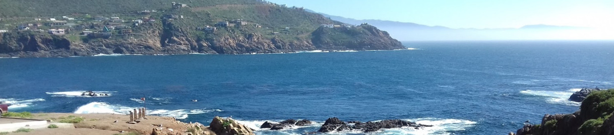
The blowhole at La Bufadora on the Punta Banda Peninsula is said to be the second largest in the world. The water spout and the thunderous noise are generated by the ocean swell giving a strong indication that this anchorage is likely to be rolly.

Approaches

No info

Anchorage

Anchor in 4.5m in sand. There is beach access to shore. The anchorage provides shelter from weather from the north.

Facilities

La Bufadora is a tourist attraction and there are several souvenir and food vendors at the site but little else.

Dangers
Swell
Use Stern Line
Kelp
Wind Exposure
S SW W
Swell Exposure
S SW W
Amenities
Settlement
Blowhole
Date & Time Visited
2014-03-02T12:20:00
editor
Anchorage
Mexico - Pacific
Approach
◬ 31° 48.5948 N 116° 48.0000 W
◬ 31° 48.7337 N 116° 47.9549 W
◬ 31° 48.7956 N 116° 47.8609 W
◬ 31° 48.8727 N 116° 47.6434 W
◬ 31° 48.8716 N 116° 47.5494 W
Depth
60.0 ft
18.0 m
Bottom Composition
S - Sand
Aids to Navigation
Depth Contours
Land
Lighthouse
Shore Access
Beach
Notes

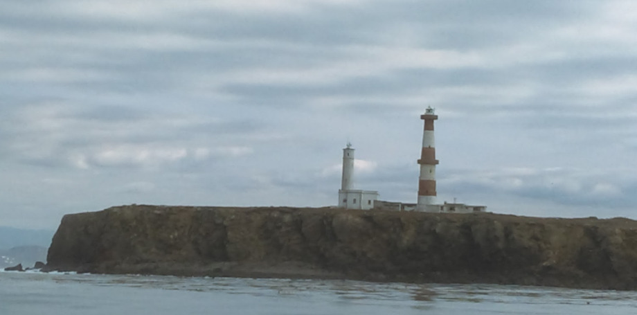
Reputed to have some of the biggest waves in North America Isla Todos Santos are legendary with surfers. Anchoring on the east side of the islands offers some shelter from the Pacific swell.

Approaches

Lighthouses mark the northern and southern ends of the islands.

Anchorage

The anchorage on the east side of the north island in 18m on a sandy bottom is reported to be rolly. 

Facilities

There are no facilities on the islands.

Dangers
Swell
Wind Exposure
N NE E SE S
Swell Exposure
N NE E SE S
Amenities
Surf
Date & Time Visited
2011-12-11T18:02:00
editor
Anchorage
Mexico - Pacific
Coronado South
Approach
◬ 32° 25.0550 N 117° 14.6490 W
Depth
16.0 ft
4.5 m
Bottom Composition
S - Sand
M - Mud
Aids to Navigation
Depth Contours
Land
Local Marks
Notes

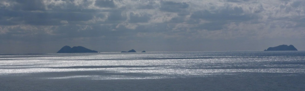
Islas Coronado lie 15NM south of San Diego and 7.7NM west of Rosarito Harbour. The anchorage is in the square shaped bay on the east side of Coronado del Sur.

Approaches

No information

Anchorage

Anchor in 5m on a sand/muddy bottom. This anchorage is open to the north but provides good protection from southerly wind and swell. The bay is lined by steep cliffs, there is no beach access.

Facilities

None

Dangers
Swell
Wind Exposure
N NE W NW
Swell Exposure
N NE NW
Date & Time Visited
2012-02-27T14:06:00
editor