

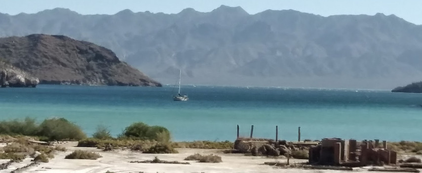

Rock Paintings of the Sierra de San Francisco
27° 39.3336 N 112° 54.9666 W
From c. 100 B.C. to A.D.


- Read more about Rock Paintings of the Sierra de San Francisco
- Log in or register to post comments
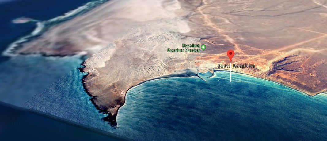
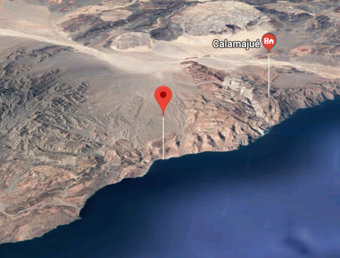
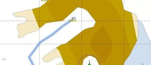
PUERTO MORRO REDONDO - SALT PORT
Official 1st PORT OF ENTRY
Mexico - Pacific
28° 2.6230 N 115° 10.8130 W


Puerto Morro Redondo, locally known as El Morro, is a commercial port located at the southern end of
- Read more about PUERTO MORRO REDONDO - SALT PORT
- Log in or register to post comments
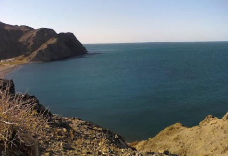
Rosarito - Open Roadstead Harbor & Port
32° 21.9578 N 117° 4.7587 W


A commercial harbour for a thermoelectric power plant. The harbour is restricted access and should only be entered in an emergency situation.
Baja Naval Boatyard and Marina
VHF
77
Telephone
31° 51.5990 N 116° 37.7270 W


- Read more about Baja Naval Boatyard and Marina
- Log in or register to post comments
Ensenada Cruiseport Village Marina
VHF
12
16
Telephone
31° 51.2704 N 116° 37.2110 W

The marina is located on the southern edge of the town close to the
- Read more about Ensenada Cruiseport Village Marina
- Log in or register to post comments