Anchorage
Mexico - Pacific
El Refugio
V-Cove
Depth
20.0 ft
6.0 m
Bottom Composition
S - Sand
Aids to Navigation
Depth Contours
Land
Shore Access
Beach
Notes


Also known as El Refugio this small bay at the northern end of Isla Carmen provides good protection from the east and west but southerly wind funnels through the anchorage making it untenable. Swell from the northern sector turns the bay into a washing machine with swell bouncing off the cliffs.

The white cliffs that define this stunning anchorage are full of sea caves, some large enough to explore by dinghy.

Approaches

No info

Anchorage

The bay only has space for one or two boats. Anchor in 6m on sand towards the southern end where the bay shoals to a large expanse of white sand beach.

Facilities

None. Exploring the caves by dinghy or snorkel is endlessly fascinating but be careful entering the caves if the swell is running.

Wind Exposure
N NE
Swell Exposure
N
Date & Time Visited
2009-05-27T12:12:00
editor
Anchorage
Mexico - Pacific
Bahia Marquer
Depth
18.0 ft
5.0 m
Bottom Composition
S - Sand
Aids to Navigation
Depth Contours
Land
Shore Access
Beach
Notes

Isla Carmen is a large uninhabited island 9NM off the coast from Loreto. Bahia Marquer at the southwest end of the island is a favorable anchorage during the wet season and is sheltered from weather and swell from the south. It is open to wind from the west and north.

Approaches

No info

Anchorage

Tuck in close to the beach behind the southwest point in 5m on sand. Most of the beach is stony and steep but the centre is sandy and the best place to land a dinghy.

Facilities

None. The island is privately owned and is a wildlife conservation area.

Wind Exposure
N W NW
Swell Exposure
N SW W NW
Date & Time Visited
2009-05-25T08:28:00
editor
Anchorage
Mexico - Pacific
Depth
41.0 ft
12.0 m
Bottom Composition
S - Sand
Aids to Navigation
Depth Contours
Land
Shore Access
Beach
Notes

Isla Coronado lies 6.5NM north of Loreto. Anchorage can be taken on either side of the island depending upon weather conditions. The bay on the west side is protected from swell and weather from the south by a hook shaped peninsula extending southwest from the island. The bay is open to the west and northwest and would not be suitable if a coromuel is forecast.

Isla Coronado is the northernmost island in the Loreto Bay National Marine Park and offers opportunities to swim with sealions, spot dolphins and manta rays and watch blue footed boobies nesting on the crags of the island. Isla Coronado is a popular spot for day trippers from Loreto drawn by the white sand beaches and the vibrant fish life on the reefs.

Approaches

No info.

Anchorage

Anchor in 12m on sand on the northern side of the bay if the swell is running. Dinghy ashore to any of the beaches in the bay.

Facilities

None. Great snorkeling and diving can be found in the nooks and crannies of the east coast of the island or visit the sealion colony at Piedras Blancas. Walk the trail along the spine of the peninsula to the crescent beach at the hook.

Sweat seeking bees here can be bothersome.

Wind Exposure
SW W NW
Swell Exposure
N SW W NW
Date & Time Visited
2009-11-09T12:11:00
editor
Anchorage
Mexico - Pacific
Depth
34.0 ft
10.0 m
Bottom Composition
S - Sand
Aids to Navigation
Depth Contours
Land
Notes

12NM south of Loreto Puerto Escondido is a very popular anchorage and has a top class marina. The bay at the entrance to the lagoon is known as the Waiting Room. It is well protected from wind and swell by the almost island Cerro la Enfermeria to the north and east and the mainland to the west. The bay is open to the south.

As of 2018 anchoring in the Waiting Room is prohibited.

Approaches

No info

Anchorage

Anchoring is prohibited.

Facilities

Marina and moorings.

Dangers
Anchoring Restrictions
Wind Exposure
SE S
Swell Exposure
SE S
Date & Time Visited
2008-06-23T14:43:00
editor
Anchorage
Mexico - Pacific
Depth
37.0 ft
11.0 m
Bottom Composition
M - Mud
Wd - Weed incl Kelp
Aids to Navigation
Depth Contours
Land
Shore Access
Beach
Dock
Notes

The natural land shield of islands and sand bar makes the inner bay at Puerto Escondido one of the best hurricane holes in the Sea of Cortez. The bay is totally protected from any swell and only exposed to winds from the north and southeast.

Unfortunately anchoring in this wonderful natural harbour is prohibited leaving a berth in the marina or moorings owned by the marina as the only options.

Puerto Escondido lies within the Loreto Bay National Marine Park which stretches from Isla Colorado in the north to Isla Carolina in the south. Upwellings and wind-driven currents in this area pull nutrients up to the surface attracting blue whales, humpbacks and dolphins as well a hosts of fish and seabirds. The national park became a United Nations World Heritage Site in 2005.

Approaches

The minimum depth in the entrance channel into the Inner Bay and the marina is 11’ and it is regularly dredged.

Anchorage

In 2018 anchoring in the Puerto Escondido Inner Bay was prohibited. 119 moorings are available from the marina for a fee. As of 2019 the fee for a 30-40’ boat is 3.60 peso/ft plus tax. Getting ashore is easiest at the dinghy dock in the marina.

Facilities

Water is available at the end of the dinghy dock for boaters in the anchorage. The marina has a small grocery store or about 1km up the road at Tripui the tienda sells fresh produce. Fuel is usually available at the marina but call ahead to check availability. There are no great beaches in the lagoon but snorkeling on the reefs and around the islands is great. For adventurous hikers the rugged canyon trails of the spectacular Sierra Gigantes are on the doorstep.

Wind Exposure
N SE S
Amenities
Marina
Fuel
Dinghydock
Restaurant
Moorings
Potable Water
Laundry
Date & Time Visited
2009-11-09T12:12:00
editor
Anchorage
Mexico - Pacific
Depth
17.0 ft
5.0 m
Bottom Composition
M - Mud
Aids to Navigation
Depth Contours
Land
Shore Access
Beach
Dinghy Dock
Notes

The beautiful old town of Loreto was founded by the Jesuits in 1697 and was the first settlement on the Baja Peninsula. In 1767 the Jesuits were expelled by the Franciscans who were in turn forced out by the Dominicans in 1769. It was the capital of Spanish colonial rule on the west coast of the Americas until a mission was established in Monterrey, California in 1777. Loreto lies at the southern end of the Camino Real the ancient route linking the Spanish missions and ending in Sonoma, CA.

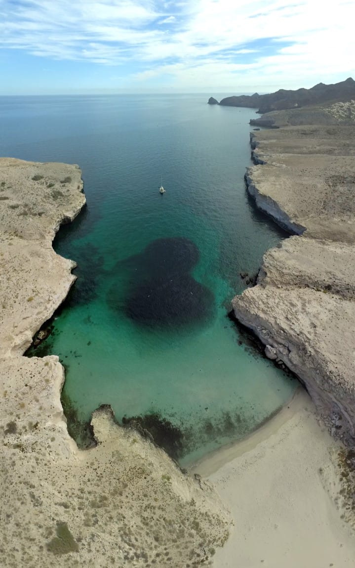
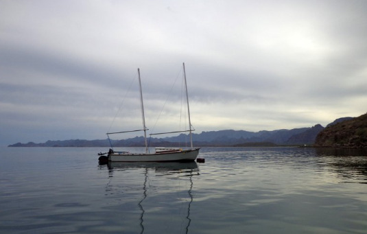
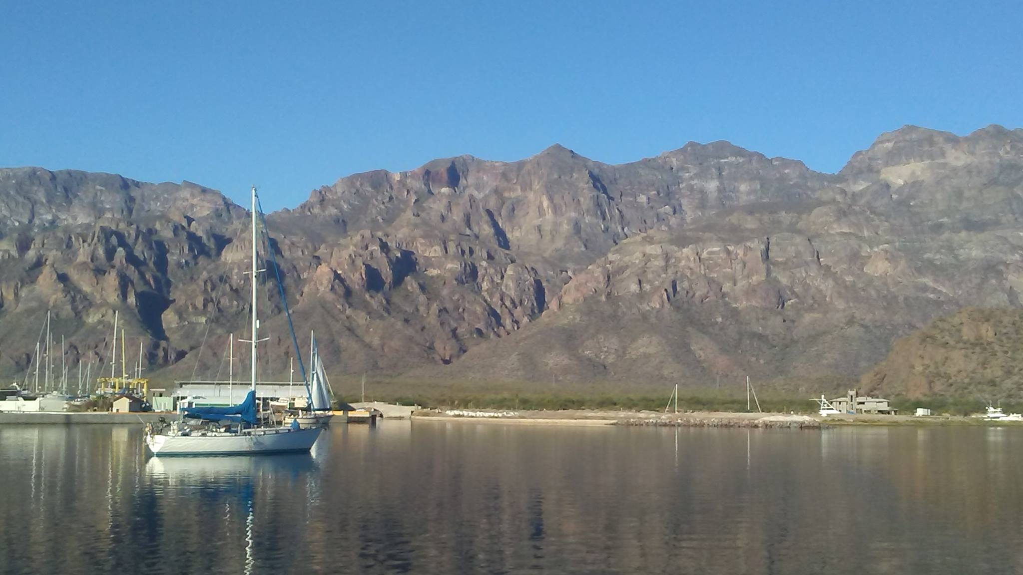
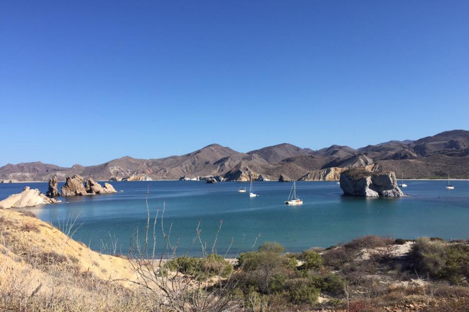
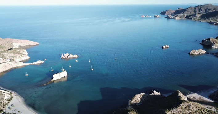
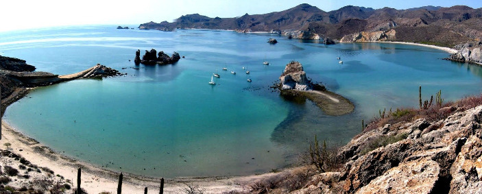
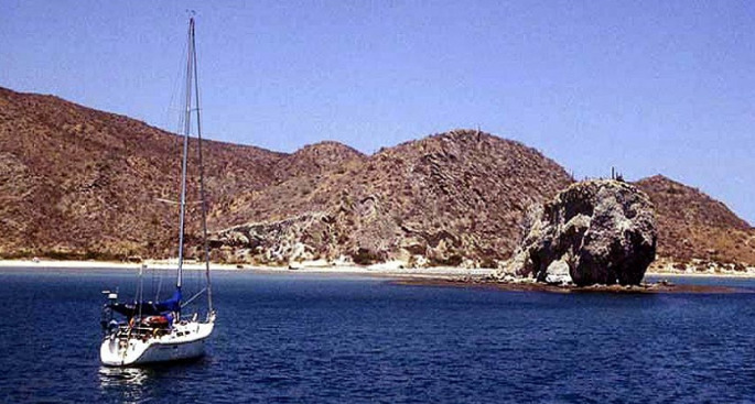
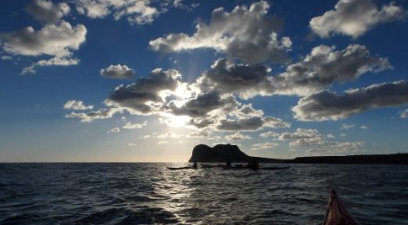
Unfortunately Loreto is very much a roadstead anchorage, protected from the west and wonderful in calm conditions. It is open to wind and swell from the north and south but it is only 9NM across to Isla Carmen if conditions deteriorate.

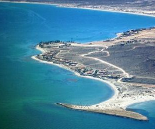
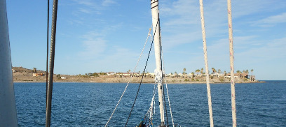
The Darsena (fishing harbour) is shoal with a maximum depth of 2.5m in the entrance channel and in the centre. It is a magnet for sports fishermen and is usually full of local boats.

Approaches

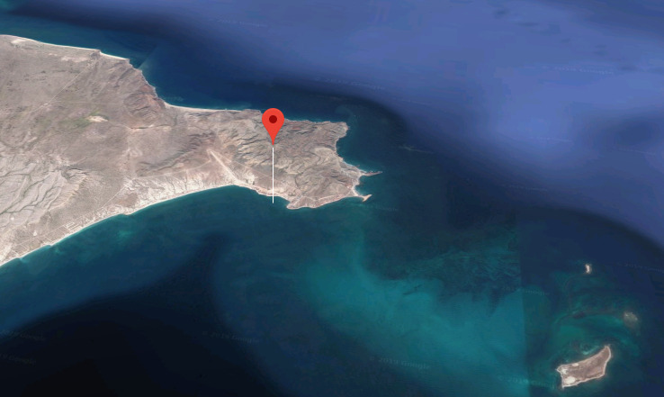
Stay at least 0.5NM off the shore to avoid garbage from the river mouth.

Anchorage

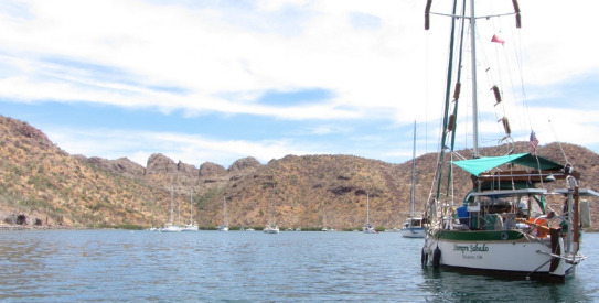
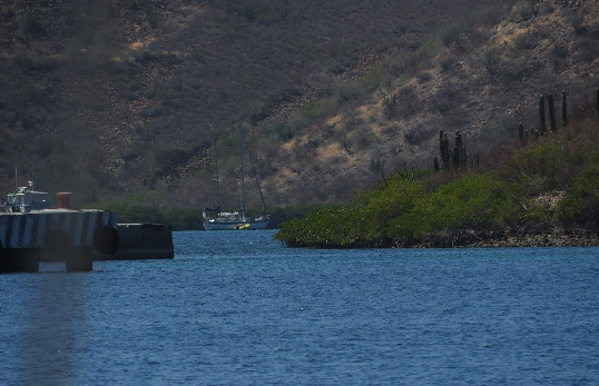
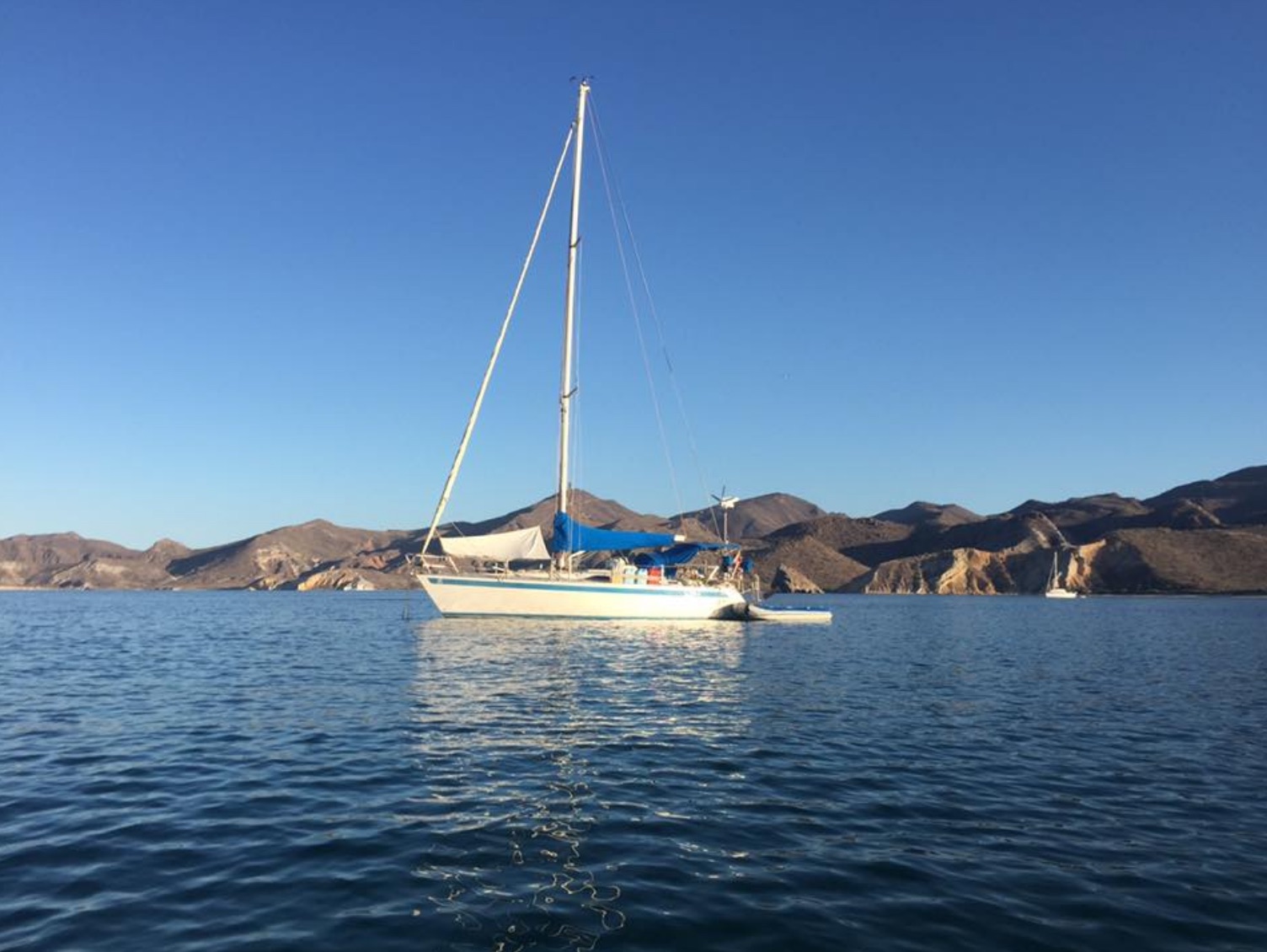
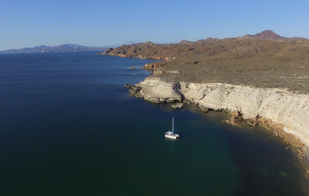
Anchor outside the breakwater of the Darsena in 5m mud with good holding. Dinghy ashore to the U-shaped dinghy dock opposite the harbour entrance or to the beach if conditions allow.

Facilities

Loreto is a great location to stop for provisioning and refueling before the cruising in the upper reaches of the Sea of Cortez. There are several supermarkets and a farmers market, hardware stores and marine supply shops, banks, laundries and a service station as well as numerous restaurants and hotels. There is a hospital on the outskirts of the town. Cruisers have recommended shopping in the mornings as the wind tends to pick up in the afternoon.

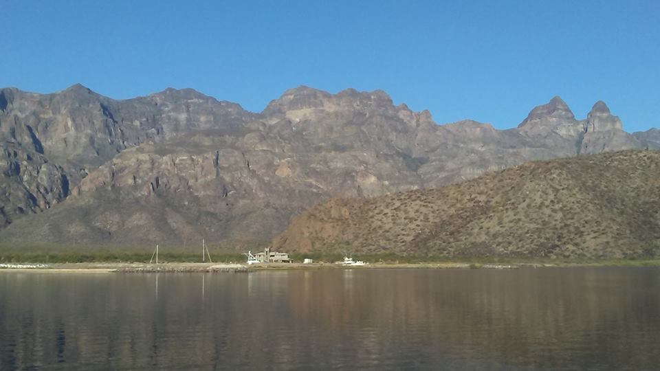
The city has been passed by by mainstream tourism and has managed to retain it’s Mexican soul and old world charm. Loreto and it’s environs are awash with churches, missions and other historic buildings, many of which house museums. Hike into the nearby Sierra de la Giganta to find cave paintings and fabulous views. Loreto has a well connected international airport and is a good place for meeting crew or friends.

Diesel and gasoline are available at the fuel dock in the Darsena.

Wind Exposure
N NE E SE S
Swell Exposure
N NE E SE S
Amenities
Provisioning
Hospital
Bank
Hotels
Restaurants
Laundry
Fuel via Jerrycans
Supermarket
Airport
Date & Time Visited
2009-05-28T12:12:00
editor
Anchorage
Mexico - Pacific
Depth
38.0 ft
11.5 m
Bottom Composition
S - Sand
Aids to Navigation
Depth Contours
Land
Shore Access
Beach
Notes

The scenery at the southern end of Bahia San Juanico is less dramatic than her northern sister but provides better protection from wind and swell during the summer months.

Approaches

No info.

Anchorage

Anchor off the beach in 11.5m on a sandy bottom with good holding.

Facilities

None. A good hiking trail runs up from the beach between Punta Mercenarios and the small peninsula in the bay. Follow the arroyo between cacti and the rocky red cliffs for 5-6km, longer if you have the water and the stamina. Snorkeling and diving the reefs and islets at the southern end of the bay is surprisingly good.

Wind Exposure
N NE E
Swell Exposure
N NE E
Date & Time Visited
2009-11-05T13:12:00
editor
Anchorage
Mexico - Pacific
Approach
◬ 26° 21.6394 N 111° 24.0318 W
Depth
26.0 ft
7.5 m
Bottom Composition
S - Sand
Sh - Shells
Aids to Navigation
Depth Contours
Land
Shore Access
Beach
Notes

The stunningly scenic Bahia San Juanico located 27NM north of Loreto and 8.5NM south of Punta Pulpito is a great rest stop on this remote stretch of coast. The rock spires and pinnacles, caves and arches make this bay a playground for dinghy exploration, snorkeling and kayaking. With the exception of cruisers, only the relatively intrepid RV travelers make it to San Juanico.

Punta San Basilio provides protection from the prevailing winter northwesterlies although some northerly swell can wrap around the point. The small peninsula and reef at the southern end of the bay give some shelter from the summer southerlies and swells.

Approaches

The shore to the east and north of the anchorage has numerous uncharted rocks so a lookout on the bow is recommended on entering the bay.

Anchorage

The north end of the bay has several anchoring spots amongst the rock spires. Anchor off the main beach in 7.5m on shelly sand or tuck in to the east of the two rock spires for the best protection when a northerly is blowing. There are several white sand beaches to take the dinghy into depending where the waves are breaking.

Facilities

The hills behind the bay are criss crossed with trails along the estuaries and ridges. Walk across to the beach on the north side of  Punta San Basilio or search for the petroglyphs which are rumoured to be hidden amongst the cliffs. Whales are also commonly seen here during the season (December to April).

Watch out for sting rays in the shallow water, wear reef shoes and drag your feet slowly through the sand to drive them away.

Dangers
Swell
Wind Exposure
NE E SE
Swell Exposure
NE E SE S
Date & Time Visited
2009-06-02T13:11:00
2016-04-16T11:11:11
editor
Anchorage
Mexico - Pacific
Depth
39.0 ft
11.5 m
Bottom Composition
S - Sand
Sh - Shells
Aids to Navigation
Depth Contours
Land
Shore Access
Beach
Notes

The arms of Punta Púlpito and Punta San Antonio are the exposed part of the rim of a volcano which formed about 500,000 years ago. The bay on the south side of Punta Pulpito provides great shelter from northern wind and swell but has no protection from the south or from coromuels blowing in from the west.

Approaches

Watch out for the pinnacle rocks about 200m the southwest of the point.

Anchorage

11.5m sand shell with excellent holding. Surge and swell can often make it difficult to land a dinghy on the beach.

Facilities

None. Barbed wire fence prevents hiking away from the beach.

Wind Exposure
E SE S SW
Swell Exposure
E SE S
Date & Time Visited
2009-06-04T07:25:00
editor
Anchorage
Mexico - Pacific
Punta Mezquitito
Bahia Santa Ines
Approach
◬ 27° 1.4509 N 111° 57.1099 W
Depth
18.0 ft
5.0 m
Bottom Composition
S - Sand
Sh - Shells
Aids to Navigation
Depth Contours
Land
Shore Access
Beach
Notes

The bay on the south side of Punta Chivato is protected from wind from the north and west however when the northerly swell bends around the point this can be a rolly anchorage. There is no shelter from the south and east.

Approaches

No info.

Anchorage

Tuck in close to the beach in front of the hotel and anchor in 5m on shelly sand. If waves are breaking on the sand landing a dinghy around the point on the north-facing beach may be more comfortable.

Facilities

There is internet reception in the bay. The Hotel Punta Chivato has live music in the restaurant at weekends.

Dangers
Industry
Wind Exposure
E SE S SW
Swell Exposure
E SE S SW
Amenities
Hotel
Internet
Restaurant
Date & Time Visited
2009-06-11T07:36:00
editor