Anchorage
Japan
Approach
◬ 33° 54.5400 N 130° 37.6800 E
Depth
26.0 ft
8.0 m
Bottom Composition
M - Mud
Aids to Navigation
Depth Contours
Land
Shore Access
Commercial Dock
Wind Exposure
W NW
Amenities
Hospital
dietmar
Anchorage
Mexico - Pacific
Bahia Principal
Puerto Escondido
Depth
21.0 ft
6.3 m
Bottom Composition
S - Sand
Aids to Navigation
Lighthouse
Shore Access
Beach
Notes

Puerto Escondido is a major surfing destination and a marginal anchorage during the summer months except in calm conditions. Pounding swell creates perfect pipes and surfers from all over the world arrive here to compete in surf tournaments or just to ride a dream wave. The anchorage at the northern end of the bay is protected from the north and east but exposed to wind and swell from south and west.

In the early twentieth century the small fishing village in the northern corner of Bahia Escondido was established as a port for shipping coffee. Construction of highway 200 in the 1960’s brought potable water, surfers and eventually mass tourism to the area. Nonetheless the houses clustered around Playa Principal still retain some of their small town charm.

Approaches

The approach to Bahia Escondido is straight forward.

Anchorage

The sheltered part of the bay is full of moorings and local boats with rarely any space to anchor. Watch out for rocks off Mirador Romance on the east side of the cove and find a spot behind the mooring field in 6-8m on a sandy bottom. A stern anchor is recommended for a slightly more comfortable night. Land the dinghy at the west end of the beach behind the breakwater but be prepared for a surf landing.

Facilities

The town of Puerto Escondido has amenities to suit most cruisers needs. Restaurants and hotels fill the space between Playa Principal and the highway and on the north side you will find the centre of town with bakeries, grocery stores and supermarkets for provisioning, hardware stores, banks and hospitals, and a service station on the highway for filling jerry cans.

The town stretches down behind Playa Zicatela to the southern end of the beach and the road is lined with surf shops selling gear, lessons and board rental.

Dangers
Swell
Sandbar
Rocks and Boulders
Wind Exposure
SE S SW W
Swell Exposure
SE S SW W NW
Amenities
Bank
Bakery
Laundry
Supermarket
Hospital
Fuel via Jerrycans
Restaurants
Hotels
Surfschool
Airport
Date & Time Visited
2015-10-19T13:42:00
2018-01-18T11:11:11
editor
Anchorage
Mexico - Pacific
Playa Icacos
Playa del Secreto
Approach
◬ 16° 48.7704 N 99° 54.3020 W
◬ 16° 50.1845 N 99° 51.7921 W
◬ 16° 50.1845 N 99° 51.5681 W
◬ 16° 50.0711 N 99° 51.4007 W
Depth
40.0 ft
12.0 m
Bottom Composition
S - Sand
Aids to Navigation
Depth Contours
Land
Shore Access
Beach
Notes

Anchorage in reasonably shallow water can also be found at the east end of Bahia Acapulco south of the strip of high rise hotels and condos which lines the eastern side of the bay. The view of the Zona Dorada is quite breath-taking particularly at night and the tourist zone provides a wealth of good restaurants to choose from.

The anchorage is well sheltered but can be uncomfortable when swell from the south and west wraps around Punta Guitarron.

Approaches

Entrance in to the anchorage is straight forward.

Anchorage

Tuck in behind Punta Guitarron and anchor in 12m off Playa del Secreto for better protection from the swell. In milder conditions anchor north of the naval base off Playa Icacos in 8-11m on sand. Take the dinghy ashore on the beach at Playa del Secreto or it may be possible to tie up at one of the docks. If the swell is mild land the dinghy on the main beach north of the naval base to get a feel of Acapulco’s Club Tropicana lifestyle.

Facilities

This anchorage is very convenient for provisioning: several supermarkets and mega stores including Sam's Club and Walmart are a short taxi ride away. International style restaurants can be found on the main road along the strip or there are plenty of local restaurants in the streets behind Playa del Secreto.

Wind Exposure
W NW
Swell Exposure
W NW
Amenities
Restaurants
Hotels
Supermarket
Walmart
Airport
Hospital
Date & Time Visited
2015-02-08T11:28:00
editor
Anchorage
Mexico - Pacific
Approach
◬ 16° 48.1048 N 99° 54.7243 W
◬ 16° 49.3126 N 99° 53.4420 W
◬ 16° 50.3083 N 99° 53.4317 W
◬ 16° 50.6065 N 99° 53.8848 W
◬ 16° 50.6115 N 99° 54.2865 W
Depth
45.0 ft
13.5 m
Aids to Navigation
Depth Contours
Land
Shore Access
Beach
Floating Dock
Marina
Watertaxi
Notes

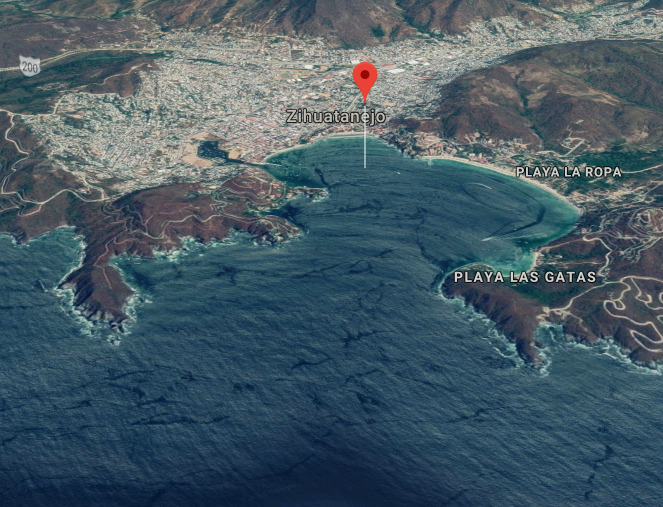
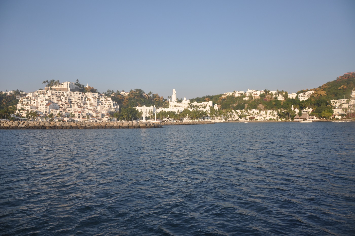
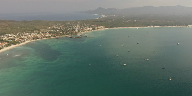
On the chart Acapulco could be just another idyllic crescent shaped bay indented into the long straight coastline on the Pacific side of Central Mexico. However this deep water bay, protected at the western end by Peninsula Las Playas, attracted the Spanish galleons and soon became the eastern hub of trade route to Manila, Philippines. In the mid twentieth century it was discovered by Hollywood and mass tourism, gangsters and drugs eagerly followed.

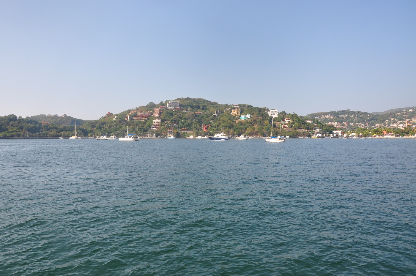
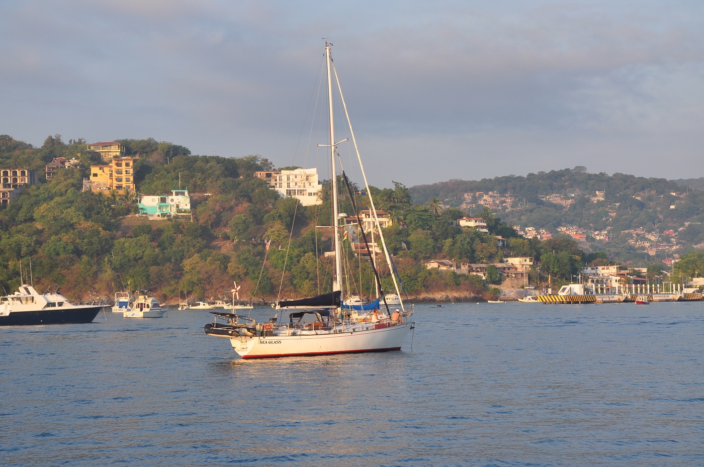
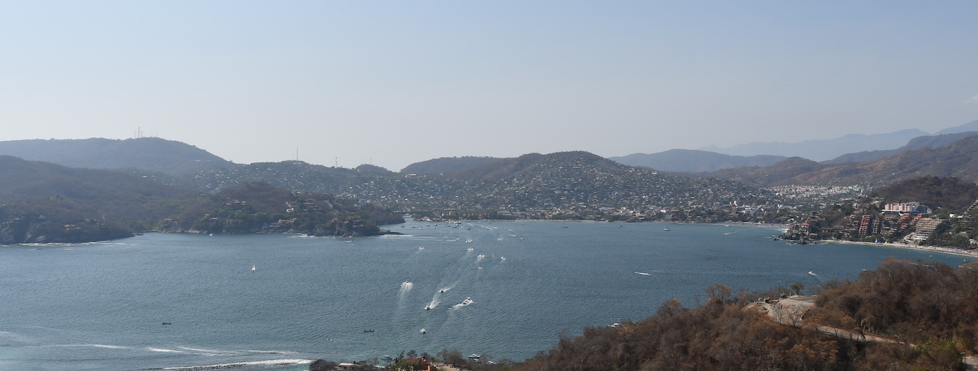
Tucked in behind Las Playas at the west side the bay great protection can be found from almost all wind and swell although occasionally a nasty surge enters the bay. Two marinas offer security for your boat, moorings are available or anchorage can be taken at the east and west sides of the bay.

Many cruisers avoid Acapulco has a bad reputation for drug wars, murder on the streets and theft in the anchorage. However exploring the history and faded glory of this tantalizing city makes a great break in the long haul up or down the coast.

Approaches

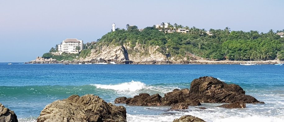
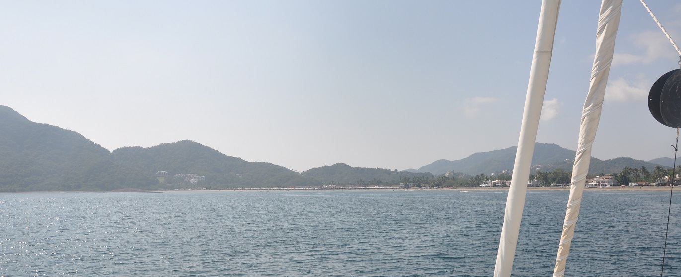
Passage can be taken between Isla Roqueta and the Las Playas peninsula but the channel can be very busy with sports and leisure boats. Entrance into Acapulco Bay is straight forward but again be aware of boat traffic.
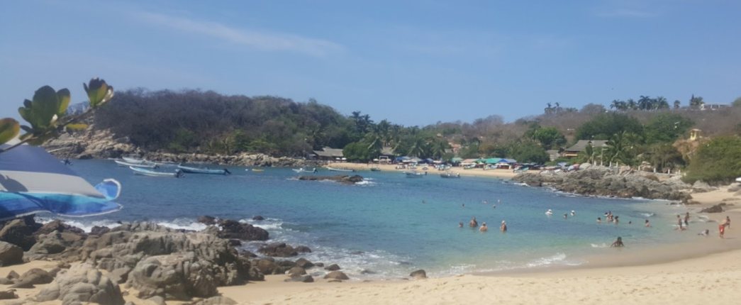
Anchorage

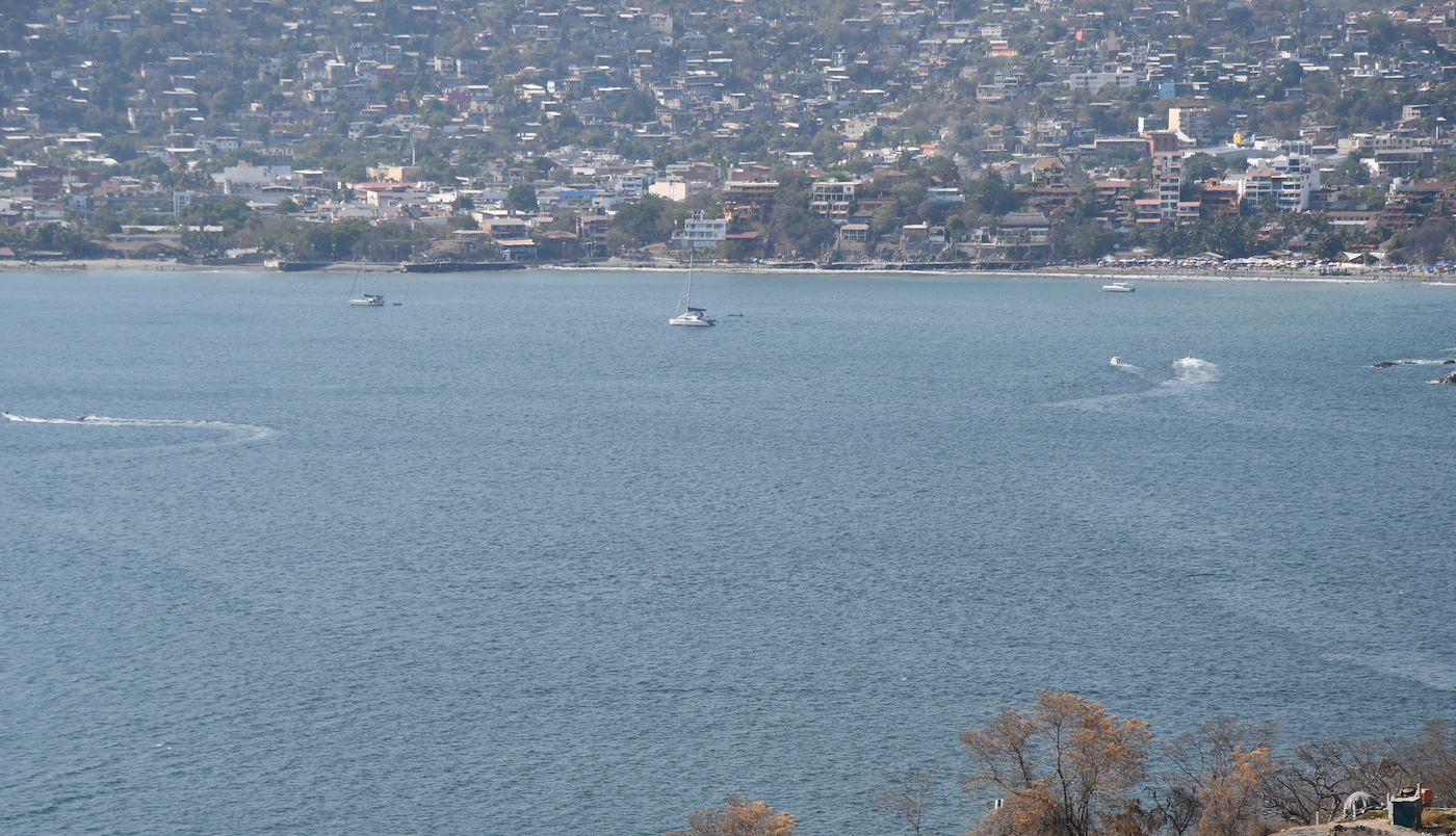
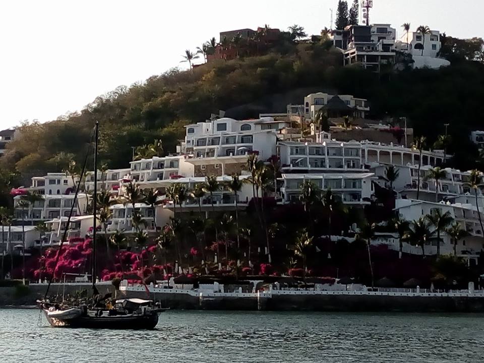
The west side of the bay is full of moorings pushing the anchorage into the deeper water areas. Anchor in 13.5m on sand. On entering the bay local boats will approach you offering the use of moorings, they also provide a water taxi ashore, help with water, fuel and garbage and are great guides to the city. Vicente and Roberto have helped many cruisers enjoy Acapulco with the knowledge that their yacht is being watched over whilst they are ashore.

Facilities

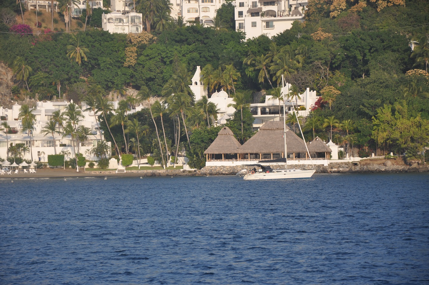
Acapulco has everything to offer: historic forts, legendary bars, swanky hotels, mega stores and huge margaritas. The west side of the bay is the “traditional” old town and exploring the colonial buildings and small shops around the Candalaria area is fascinating. The Nuesta Senora de la Soledad with it’s slightly peculiar arches and towers was originally constructed as a movie set but later converted to a cathedral.

The anchorage it is close to the marinas and a very well stocked supermarket can be found opposite La Marina de Acapulco. For other shopping ask the advice of Vicente and Roberto who will drive and guide you around the city.

It is short walk from the anchorage to Quebrada to watch the clavidistas (high divers). Go along at sunset and for 40 pesos you can watch six or seven dives. The divers swim across a gully then climb up the cliff face to take their places; the youngest divers near the base of the cliff and they progress upwards as they gain experience. The divers wait intently for the right wave, cross themselves then launch into the narrow inlet surging with swell. It is an amazing sight.

Wind Exposure
NE E
Amenities
Bank
Bars
Restaurants
Supermarket
Historic Site
Fuel via Jerrycans
Water Delivery
Hospital
Airport
Date & Time Visited
2011-04-03T12:12:00
editor
Anchorage
Mexico - Pacific
Approach
◬ 17° 36.7027 N 101° 34.3892 W
◬ 17° 37.4242 N 101° 33.4828 W
◬ 17° 37.6745 N 101° 33.1789 W
◬ 17° 37.9150 N 101° 33.1635 W
◬ 17° 38.1162 N 101° 33.2819 W
Depth
18.0 ft
5.0 m
Bottom Composition
M - Mud
Sh - Shells
Aids to Navigation
Depth Contours
Land
Shore Access
Beach
Dock
Floating Dock
Water Taxi 65VHF
Notes

Bahia Zihuatanejo is the one of the most popular anchorages on the Mexican Pacific coast. The fabulous weather and beautiful beaches attract tourists from Europe and America as well as local visitors while cruisers are attracted by the variety of anchoring options as well as the picture postcard scenery.

The  anchorage off Playa Madera in the north of the bay is protected during the winter months although swell from the northwest still manages to find its way into the bay. At the southern end of the bay Playa la Ropa is the preferred anchorage in the summer time.

The northern anchorage can accommodate about twenty yachts comfortably at anchor and is a popular stop for cruisers who are heading further south or as the departure point for sailors bound for Galapagos or the Marquesas.

Approaches

If approaching from the south look out for the charted Roca Negra which lies 1.5NM southwest of Punta Garrobo.

Anchorage

The bay is busy with tour boats, pangas and other cruisers and it can sometimes be difficult to find a sheltered spot on the west side behind Cerro Almacen. Anchor in 5m on shelly mud and use a stern anchor or flopper stopper if the swell is bothersome. Taking the dinghy ashore is likely to be a surf landing in all but calm conditions. Local boats pull up on the beach just east of the municipal pier but the beach just east of the pangas has been designated for cruisers use. Local lads will meet your dinghy and offer assistance with almost anything you can think of.

Facilities

Zihuatanejo is a town of two parts: the shops and restaurants in the manicured streets near Playa Madera and the pier cater to cruise ship visitors, but it is just a short walk to the central market area where the locals shop. It is an easy taxi ride to the Mega Soriana supermarket for serious provisioning.

Visiting the central market is an adventure in itself, a real rabbit warren of colourful stalls selling fruit and vegetables, baskets and hardware, as well as fishmongers and butchers with strings of chorizo and strips of dried beef dangling above the slabs of red meat.

Cruisers tend to hang out at Sunset bar just beside the beach. The local cruiser's net on VHF 22A begins at 08:30. For potable water and fuel delivery, propane, laundry and many other things call Hilda and Ismael on VHF65.

Dangers
Swell
Waterpollution
Wind Exposure
SE S
Swell Exposure
SE S SW
Amenities
Town
Harbormaster
Supermarket
Bank
Market
Restaurants
Hotels
Airport
Hospital
Fuel Delivery
Date & Time Visited
2010-02-04T13:04:00
Liquid
Anchorage
Mexico - Pacific
Las Hadas Anchorage
Approach
◬ 19° 5.0217 N 104° 21.0432 W
◬ 19° 5.9002 N 104° 20.5385 W
◬ 19° 6.0997 N 104° 20.6724 W
Depth
19.0 ft
6.0 m
Bottom Composition
S - Sand
M - Mud
Aids to Navigation
Depth Contours
Land
Shore Access
Beach
Notes

The Las Hadas anchorage is tucked in at the west end of Bahia Manzanillo behind Punta Santiago which provides protection from most weather and swell from the north and west. The bay is open to the east and south although Punta Salagua and the marina breakwater offers some shelter from the southwest.

This is the main anchorage in the bay and is often full with no anchoring space available behind the marina breakwater. Jet skies and water skiers make this anchorage a little rough and noisy.

The Marina las Hadas does not welcome cruisers. They charge and exorbitant fee (500 pesos at time of writing) for use of the dinghy dock only, it does not include use of the pool or other facilities and the laundry service is also ridiculously expensive.

Approaches

The approach to the Las Hadas anchorage is straight forward.

Anchorage

Anchor as close to Playa las Hadas as possible in 6m sand and mud with good holding. Plan your trips ashore as the fee at the marina is excessive but there is little choice as most of the nearby beaches are roped off and have no dinghy access.

Facilities

There are several restaurants in the area around Playa las Hadas. Walk 2.5km to the main road to catch a bus or take a taxi into Manzanillo for great shopping.

Dangers
Small Anchorage
Wind Exposure
SE S
Swell Exposure
SE S SW
Amenities
Marina
Provisioning
Restaurants
Supermarket
Walmart
Bank
Hospital
Hotels
Resort
Airport
Date & Time Visited
2011-03-11T15:55:00
2019-01-02T11:11:11
NILAYA
Anchorage
Mexico - Pacific
Playa La Boquita
Depth
23.0 ft
8.5 m
Bottom Composition
S - Sand
Aids to Navigation
Depth Contours
Land
Shore Access
Beach
River
Notes

Bahia Santiago is the northern lobe of the cuspate coastline of Bahia Manzanillo. This large bay bound by Punta Juluapan and Punta Santiago is well protected from all but the southeast to southwest sector. It is not recommended in the summer months.

The bay is intensely developed with hotels and resorts and the anchorage is busy with guests splashing, paddling or buzzing around on various types of water craft. Snorkeling or diving on the wreck of a cargo ship lying in about 7m is great fun with plenty of sea life. Buoys just southeast of the wreck mark a second wreck at unknown depth.

Approaches

Passage can be taken either side of Los Frailles, a group of rocky islets 0.7NM south of Punta Juluapan. Watch for shipping traffic and fishing pens as you approach the anchorage.

Anchorage

Anchor behind Punta Juluapan in 8.5m on sand with good holding, steering clear of the wrecks at approximately 19 o 06.422’N 104o 23.777’W. Dinghy ashore to the beach close to the river mouth of Laguna Juluapan at the west end of the bay.

Facilities

There are many restaurants lining the golden sand of Playa La Boquita as well as some small grocery stores. It is a short bus ride takes to the town of Santiago or into Manzanillo where several megastores including Walmart can be found. Santiago is a big town with a small town feel, strolling around the streets or lounging on the terrace of a cafe it is very pleasant.

Snorkeling or diving the San Luciano is surprisingly interesting. The wreck is rusting away and lot of the steel plate on the deck has gone leaving the holds and the boiler room open to explore. Poking around amongst the pipes and boilers while enjoying the soft coral and colourful reef fish.

Dangers
Fishing Pens
Jet Skies
Shipwreck
Swell
Wind Exposure
SE S SW
Swell Exposure
E SE S SW
Amenities
Beach
Restaurant
Bars
Town
Snorkeling
Diving
Airport
Hospital
Date & Time Visited
2008-12-03T11:02:00
2017-12-01T13:00:00
2018-12-29T11:11:11
NILAYA
Anchorage
Mexico - Pacific
Depth
8.0 ft
2.0 m
Bottom Composition
M - Mud
Aids to Navigation
Depth Contours
Land
Local Marks
Channel Marks
Shore Access
Marina
River
Notes

San Blas is located on the Nyarit coast about 65NM from Bahia Banderas. In the mid-1700´s this small sleepy town was the base from which the Spanish navy explored and colonized the Pacific coast of America. Later the town rose to prominence again as a Pacific port for trade with the Philippines. These days tourists come to San Blas to explore the historic town and beautiful beaches.

The anchorage opposite the marina entrance is very well protected from all but a southeasterly wind. It has 2-4m of water in the channel on the west side of the shoal area which extends across the marina entrance. The mosquitos and sand flies can be voracious.

Approaches

Entrance into the river channel is hazardous in all but the calmest swell conditions. Crossing the sand bar needs to be well planned and local knowledge is advised before attempting the entrance. The marina can send out a panga to guide you in.

The river channel is marked with buoys, favour the starboard side of the channel as the port side shoals quickly. Watch out for the very shallow area west of the marina entrance.

Anchorage

Anchor in 2m on the west side of the shoal in soft mud. Dinghy into the dock at the marina. The anchorage can be noisy with jungle tour pangas swerving between boats.

Facilities

As well as a fine church, elegant colonial buildings and the old customs house San Blas boasts a couple of supermarkets, a suite of grocery stores and a great municipal market for good provisioning options. There is some wifi coverage in the anchorage.

A taxi is the easiest way to reach the Contaduria as it’s difficult to find. Once an impressive hilltop fort built to protect the town and guard the colonial riches, the original structure was destroyed in a hurricane but the view over the town and out across the Pacific Ocean is fabulous.

Dangers
Sandflies
Mosquitos
Shoaling
Swell
Wind Exposure
SE
Amenities
Supermarket
Grocery Store
Bank
Market
Restaurants
Hospital
Date & Time Visited
2014-03-20T07:37:00
editor
Anchorage
Mexico - Pacific
Approach
◬ 20° 46.4166 N 105° 37.1475 W
◬ 20° 44.5289 N 105° 32.5333 W
◬ 20° 44.6059 N 105° 30.8750 W
◬ 20° 45.7328 N 105° 30.8647 W
Depth
25.0 ft
7.5 m
Bottom Composition
S - Sand
Aids to Navigation
Depth Contours
Land
Shore Access
Beach
Notes

The name Punta de Mita comes from the Aztec word “mictlan” reflecting the original inhabitants of the area around 2000 BC. The peninsula has been invaded by the Spanish, settled by Mexicans and recently redeveloped into one of the most exclusive resort communities in Mexico. The entire peninsula west of the town is privately owned and carpeted with resorts and golf courses.

The peninsula protects the bay from most swell except from the southern sector. The large bay is open from southeast to southwest but is sheltered from wind and swell from all other directions. It is a popular destination for day trippers and has a lot of panga and tour boat traffic.

Approaches

No info.

Anchorage

7.5m sand with good holding. Dinghy ashore to the beach being careful landing if waves are breaking. Local boats pull up just inside the western breakwater, avoid the west end of the beach which is private and casual visitors are not welcomed.

Facilities

The beach at Punta de Mita is lined with restaurants and tour operators. The modern town behind the beach has several ATMs and grocery stores, a pharmacy, a good supermarket and a hospital.

Wind Exposure
SE S SW
Swell Exposure
SE S SW
Amenities
Supermarket
Restaurants
Tour boat operations
Golfcourse
Pharmacy
Hospital
Bank
Date & Time Visited
2009-01-28T13:21:00
editor